Japan Travel Guide
Japan is a fascinating balance between tradition and modernity, where centuries-old temples coexist with ultra-modern cities, breathtaking natural landscapes and one of the most renowned food cultures in the world. Whether you want to stroll among the temples of Kyoto, immerse yourself in the hustle and bustle of Tokyo, go trekking in the Japanese Alps or admire the wild nature of Hokkaido, Japan is a country like no other, capable of offering something for every type of traveller.
I spent three months backpacking from Kyushu, in the far south, all the way to Hokkaido, in the north of the country, and in this guide you will find plenty of practical information and useful advice to help you plan your trip to Japan as effectively as possible.
Quick menu
- When to Visit Japan
- Documents and Vaccinations for Entering Japan
- What to Do and See in Japan
Destinations
- Possible Itineraries in Japan
- How to Get Around Japan
- Travelling in Japan: Costs
- Travelling in Japan: Safety
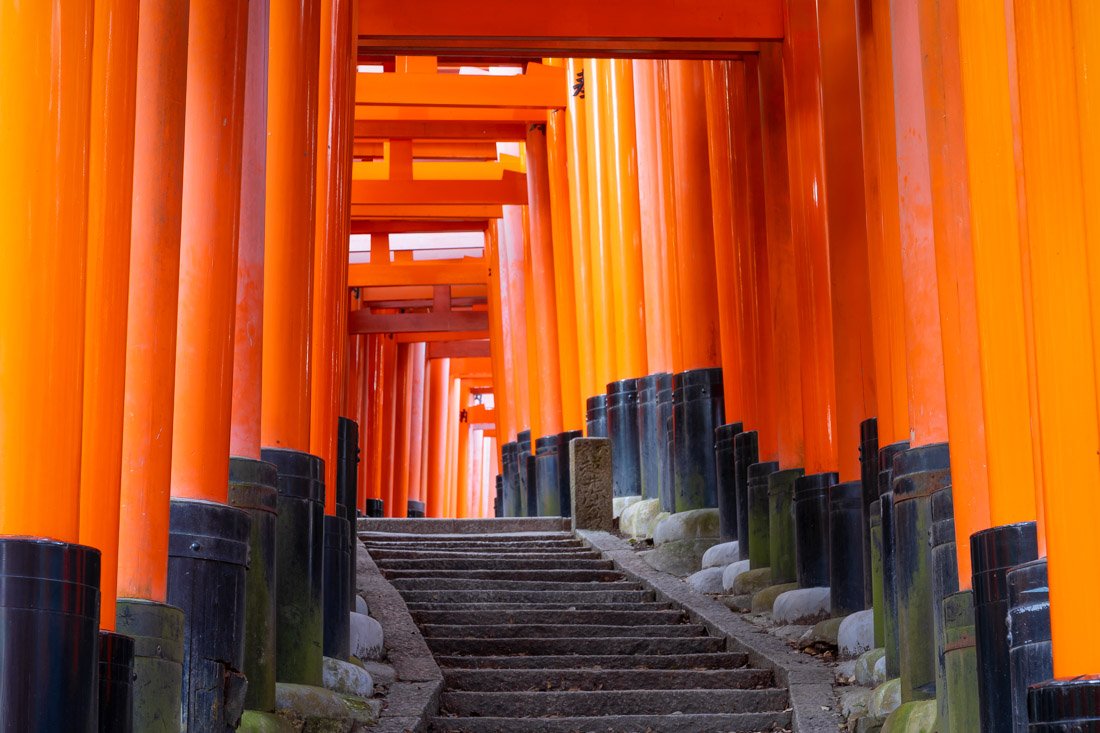
Fushimi Inari-Taisha Shrine, Kyoto.
When to Visit Japan
The best time to visit Japan depends heavily on what you intend to do and which regions you plan to explore. That said, in general, for most travellers, the ideal periods are spring (March, April and May), during the famous “Sakura” cherry blossom season, and autumn (September, October and November). During both periods, the weather is generally mild across almost the entire country, making them perfect for a trip around Japan.
If you are planning a long-term trip, from a logistical point of view, it is advisable to start in the south and head north in spring, “following” the cherry blossom, while in autumn it is better to do the opposite, starting in the north and gradually making your way south.
Summer can be an excellent time for hiking enthusiasts: Japan’s trail network is of an exceptionally high standard and, just like in the Alps, the proper hiking season begins between June and July. However, with the exception of the far north, expect very hot and humid days in the rest of the country, so the weather is not exactly pleasant.
Finally, winter is an excellent choice for ski enthusiasts, thanks to the exceptional conditions the country offers, particularly in northern regions such as Hokkaido and Nagano.
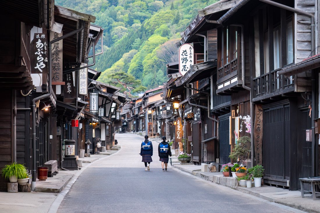
Kiso Valley.
Documents and Vaccinations for Entering Japan
Most passport holders (with less than 6 months remaining before expiry) receive a free 90-day tourist visa upon entering the country. As far as I know, it is not possible to extend the tourist visa except for reasons of force majeure such as illness, accidents, etc.
This is the official immigration website.
Officially, Japan requires proof of onward travel within the limits of your visa. This is not an issue for those who have a return flight or a flight to another country, but it could be for those travelling on a one-way ticket.
Checks are at the discretion of the border officer and the airlines at the airport before departure. Maybe I was just unlucky, but before boarding my flight from Taiwan, I was actually asked to show proof of onward travel out of the country. If you do not have one, my advice is to rent a ticket (a real ticket, for a fee) through a website such as Onward Ticket.
Japan does not require any mandatory vaccinations, but as with any trip, Hepatitis A and B vaccinations are recommended. In any case, talk to your doctor about it.
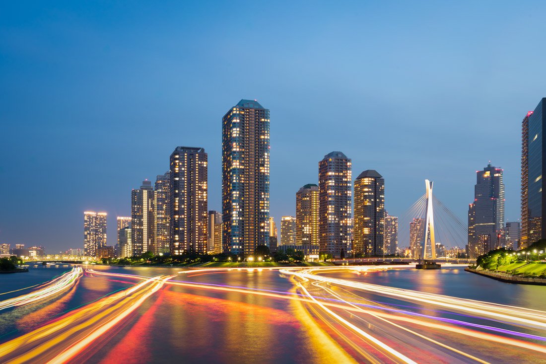
Tokyo.
What to Do and See in Japan
In this guide, prices are often expressed in the local currency. Japan’s official currency is called the “Japanese Yen” or simply “Yen”, abbreviated as “JPY” or “¥”. At the time of publication of this article, the exchange rate is €1 = 179 JPY. For the current exchange rate, I recommend checking this page.
Finally, the destinations described are listed starting from Fukuoka and continuing north, essentially following the route I took during my trip. This order is probably the best way to optimise travel during the spring, but of course it depends greatly on where you arrive and what your plans are.
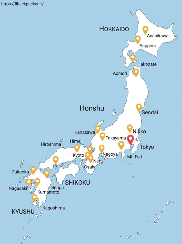
Note: Throughout the guide, you will find several links to https://www.alltrails.com/. If you want to use offline navigation directly from the AllTrails app, you need to upgrade to the Pro version. However, you can get around this by downloading the coordinates from the desktop version of the website in “Google Earth KML” format and then uploading them to Organic Maps, which is by far one of my favourite travel apps.
KYUSHU
Kyushu is the third-largest island in the Japanese archipelago. Being relatively far from the classic tourist circuits, it is an excellent option for those looking for less crowded destinations compared to the country’s major tourist attractions.
This island is a concentration of history, nature and culture: it was one of the cradles of feudal Japan and played a key role during the samurai period and throughout the centuries of commercial ties with the West. Nagasaki, in particular, is a city of great historical significance, a symbol of both its connections with Europe and the tragedies of the Second World War.
Kyushu is also a land of spectacular landscapes, characterised by active volcanoes, natural hot springs (such as the famous ones in Beppu and Yufuin), and lush, wild nature, perfect for those who love hiking, onsen and authentic destinations.
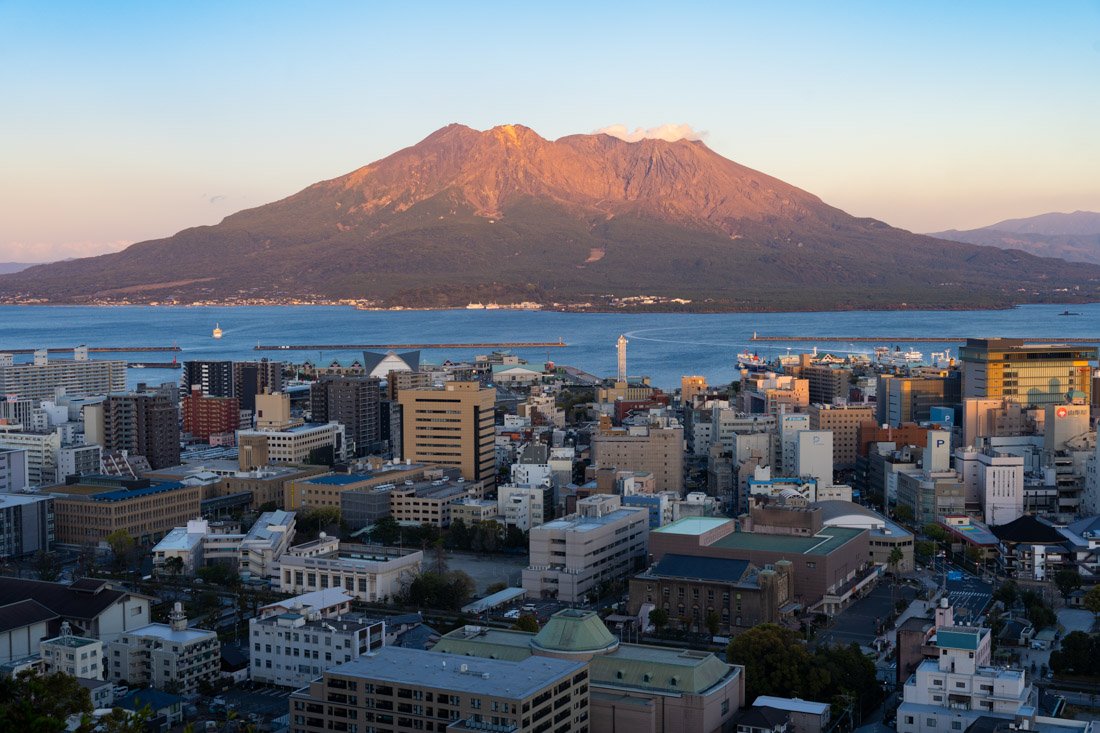
Sakurajima Volcano, Kagoshima.
Fukuoka
Fukuoka is the largest city on the island of Kyushu and one of the ten most populous cities in Japan. Thanks to its geographical location, closer to Seoul than Tokyo, it has been one of the country’s main gateways to the Asian mainland for centuries. In the past, it was an important commercial and cultural centre, as well as the point where Mongol forces attempted to land during the invasions of the 13th century.
Today, Fukuoka is a modern and lively city where, unlike in other major cities, mass tourism is still limited, and for this very reason, it retains an authentic charm.
What to Do and See in Fukuoka
As mentioned, Fukuoka is not exactly a tourist destination. There are not that many attractions in the city, but you can certainly spend at least half a day exploring the castle ruins and the park surrounding them (Google Maps). I also recommend stopping by Shofukuji Temple (Google Maps), which was completed in 1195 and is the oldest Zen temple in Japan. Finally, in the evening, you could walk along the river, where there are food stalls (Yatai) (Google Maps). The area is nice, but it is quite touristy and expensive when it comes to food.
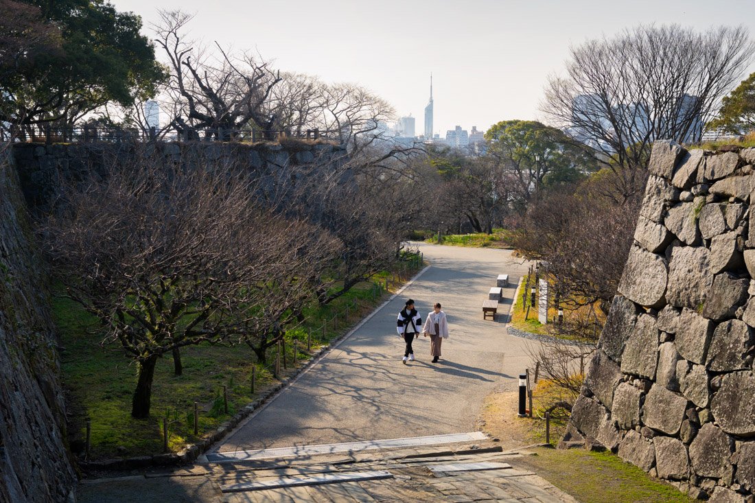
The castle ruins.
Dazaifu
Dazaifu, about half an hour by train from Fukuoka, is a very popular day trip and one that I recommend. The station you need to get to is this one (Google Maps), and you can simply use Google Maps to check departure times.
Dazaifu Tenmangu Shrine (Google Maps), the main shrine, was undergoing restoration during my visit, but the gardens and various surrounding temples are still very beautiful and definitely worth a visit, especially if you are already in Fukuoka. I recommend going during the week, because there were already huge numbers of local tourists even on Thursday; I don’t dare imagine what it is like on the weekend.
It is worth walking up to Tenkai Inari Shrine (Google Maps): the walk is pleasant. If you want, you can continue on to Kamado Jinja Shrine (Google Maps). There is a bus that runs back and forth, but I walked there.
You could also visit the Kyushu National Museum (Google Maps). Admission costs 700 JPY for the permanent exhibition. The building is new and very beautiful, with numerous artefacts ranging from 4,000-year-old terracotta vessels to more recent objects. Personally, I found it a little boring, but obviously this is a subjective opinion.
If you leave early in the morning, you can see practically everything in one day, including the attractions in the city mentioned above.
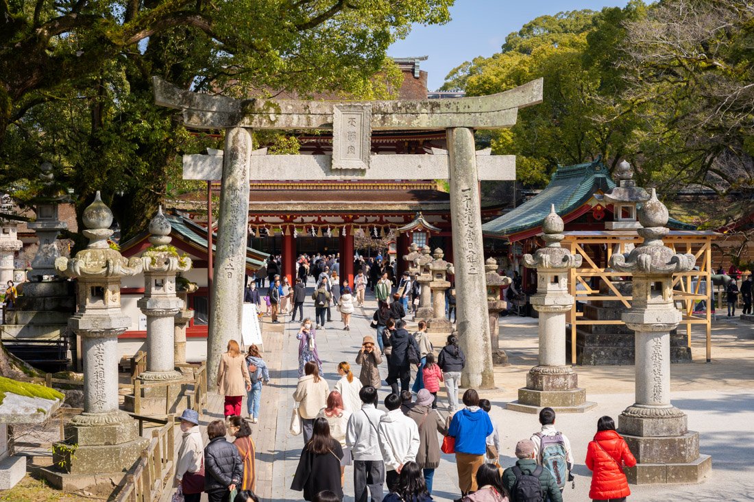
Dazaifu.
Yanagawa
I did not visit Yanagawa, but it is another popular day trip from Fukuoka, again taking about half an hour by train. Here, the main attraction is the gigantic Buddha statue at Nanzō-in Temple (Google Maps).
Where to Stay in Fukuoka?
I stayed at UNPLAN Fukuoka and overall I recommend it: affordable, in a strategic location just a short walk from the metro station, with clean and spacious common areas and breakfast included.
How to Get to Fukuoka?
Fukuoka has direct bus connections to and from all the main tourist destinations on the island of Kyushu (Nagasaki, Kumamoto, Beppu and Kagoshima), as well as Hiroshima to the east. You can book online through websites such as global.atbus-de and Willer. There are two bus terminals, Nishitetsu Tenjin Expressway Bus Terminal (Google Maps) and Hakata Bus Terminal (Google Maps). Many buses stop at both, so you can choose whichever is more convenient depending on where you are staying.
The main train station, where you can also take the shinkansen if you want, is Hakata Station (Google Maps). Finally, if you arrive at the airport, you can take the metro directly from the domestic terminal (connected to the international terminal by a free shuttle) and reach the city centre.
In the “How to Get Around Japan” section, you will find plenty of other useful information.
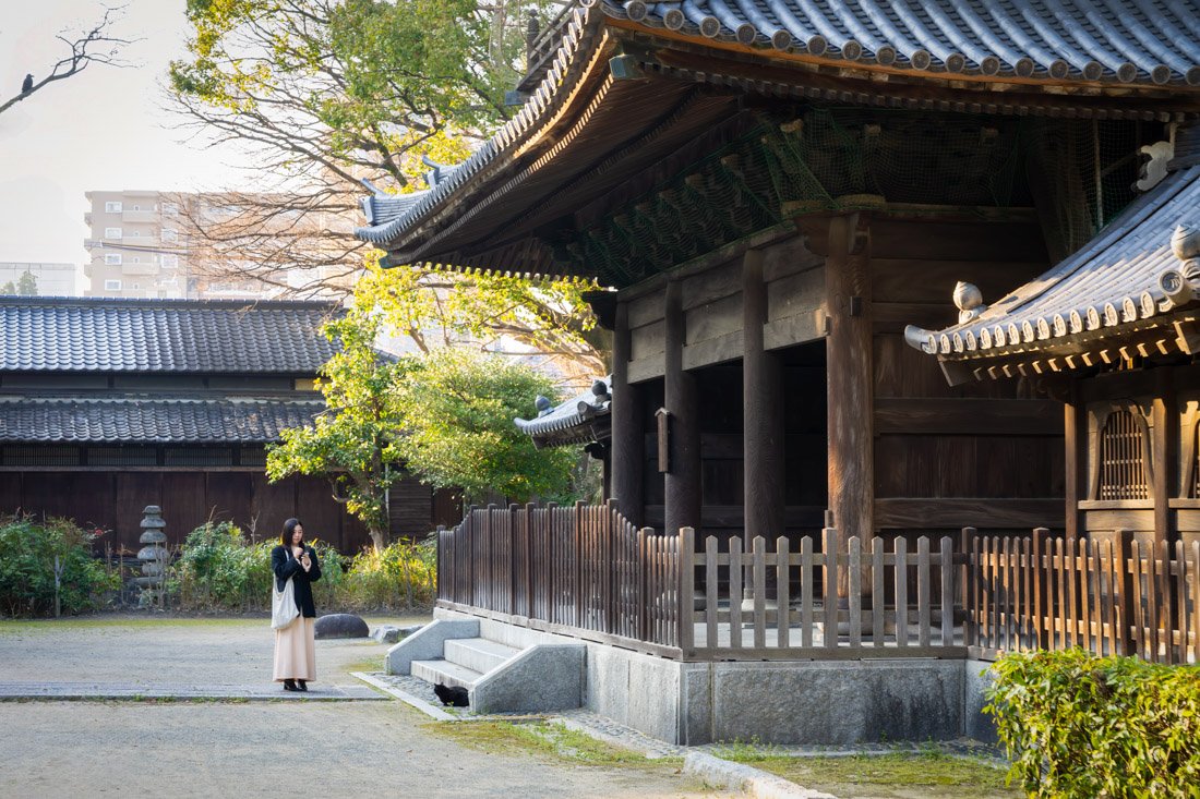
Shofukuji Temple.
Nagasaki
Located on the western coast of Kyushu, Nagasaki is a city of great historical and cultural significance. During the Edo period, it was one of the few Japanese ports open to trade with the West, becoming a meeting point for different cultures. Centuries later, the city was tragically struck by the second atomic bomb in 1945, leaving a memory that still shapes its identity today.
What to Do and See in Nagasaki
Atomic Bomb Museum and Peace Park
I recommend starting your visit to Nagasaki at the Atomic Bomb Museum (Google Maps). Admission costs 200 yen and, personally, I found it very interesting and full of meaning for future generations. Afterwards, you can head to the nearby Hypocenter Park (Google Maps) and finish your visit at Peace Park (Google Maps).
If you want, Urakami Cathedral (Google Maps) is also located nearby and is clearly visible from Peace Park. I did not visit it, but apparently it was once the largest church in Asia.
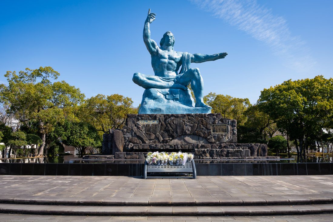
Peace Park.
Chinatown and Surroundings
Nagasaki Shinchi Chinatown (Google Maps) is the oldest Chinatown in Japan. As mentioned, Nagasaki was the only major port open to foreign trade during Japan’s period of isolation, and the Chinese were the only merchants allowed in the city alongside the Dutch. Chinatown was originally a reclaimed island (hence the name Shinchi, literally “new land”). Thanks to further land reclamation, the district is no longer an island today. Honestly, I did not find it particularly exceptional, but the main street is certainly nice.
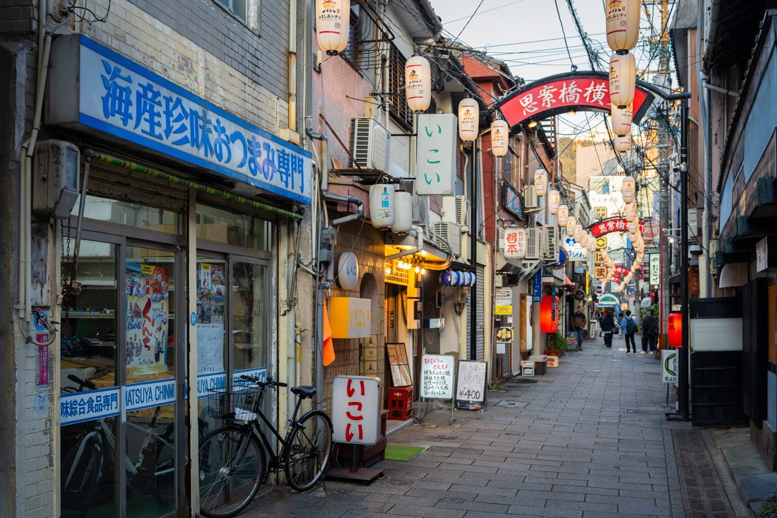
Chinatown.
If you decide to venture over this way, I also recommend stopping by Megane Bridge (Google Maps), built around 1634 and the oldest stone arch bridge in Japan. Not far away you will also find Sofuku-ji Temple (Google Maps). Originally built in 1629 for the Chinese residents of Nagasaki, the temple was constructed in the Chinese architectural style and is therefore somewhat different from other temples. There is a sign asking visitors to donate 300 yen for entry. Nice, but nothing exceptional. Finally, you could head down to Glover Garden (Google Maps), where some of the oldest Western-style residences in Japan can be found.
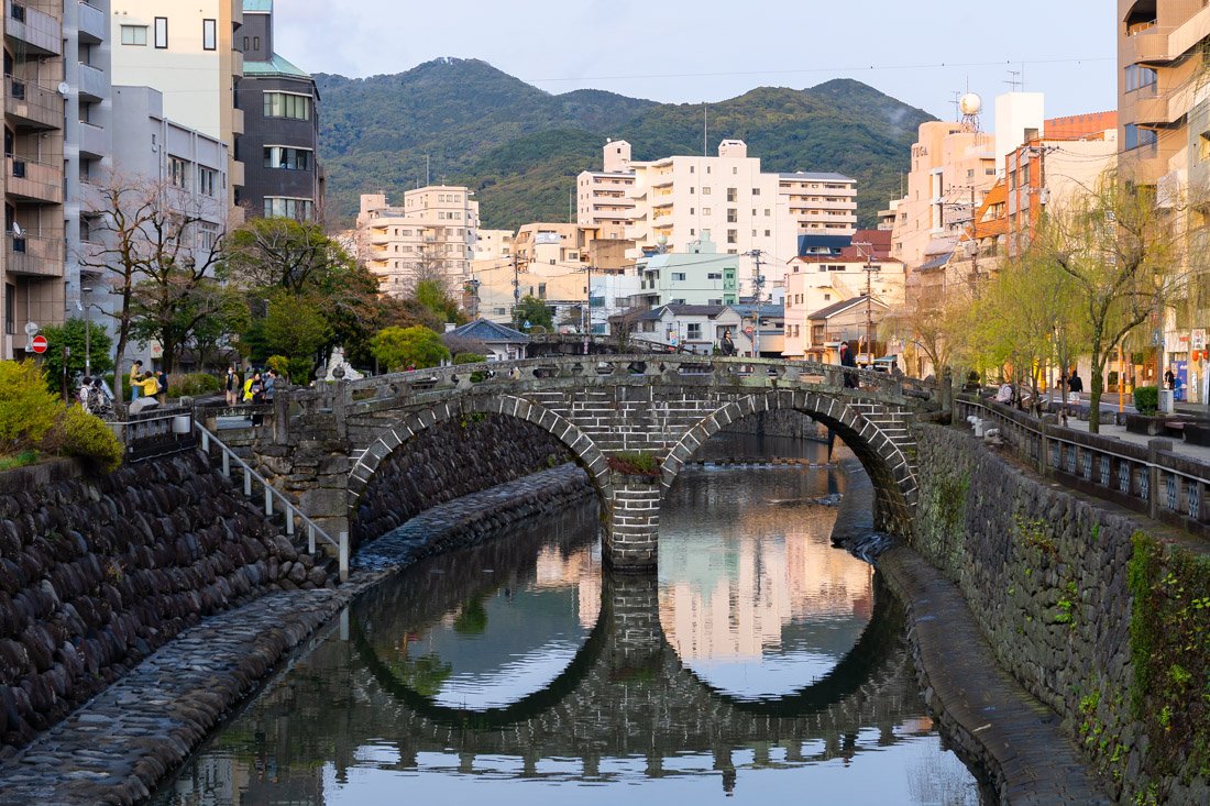
Megane Bridge.
Mount Inasa
From the top of Mount Inasa (Google Maps), where there is an observation platform, you get fantastic views over the entire city and bay. I strongly recommend going up there for sunset and staying for the nighttime views as well. There are several bus lines that take you to the parking area (Google Maps), from where you only need to walk for about a kilometre, which is what I personally did. Alternatively, there is also a sort of small train (Google Maps) which should cost 500 yen for a round-trip ticket or 300 yen one way.
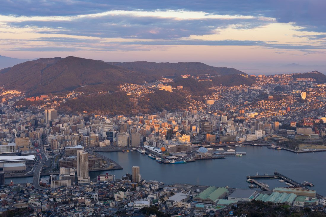
Mount Inasa.
Gunkanjima
Gunkanjima (Hashima), about 20 km from Nagasaki (Google Maps), is famous for having been one of the most densely populated islands in the world thanks to its coal mines. Today, only part of the island can be visited. The boat tour seems to be popular, but apparently it is conducted only in Japanese and, as mentioned above, the area accessible to visitors is really limited. Personally, I did not go, as it seemed to me that it was not worth it, but I will leave that judgment to you. An alternative could be visiting the Gunkanjima Digital Museum (Google Maps), which reconstructs life on the island through digital installations and augmented reality.
Where to Stay in Nagasaki?
Mezame Hostel is an excellent hostel just a short walk from the Atomic Bomb Museum and the bus station.
How to Get to Nagasaki?
Nagasaki has direct bus connections to and from Fukuoka and Kumamoto. You can book online through websites such as global.atbus-de and Willer. The main bus terminal is Nagasaki Ekimae (Google Maps). The main train station, where you can also take the shinkansen if you want, is Nagasaki Station (Google Maps).
In the “How to Get Around Japan” section, you will find plenty of other useful information.
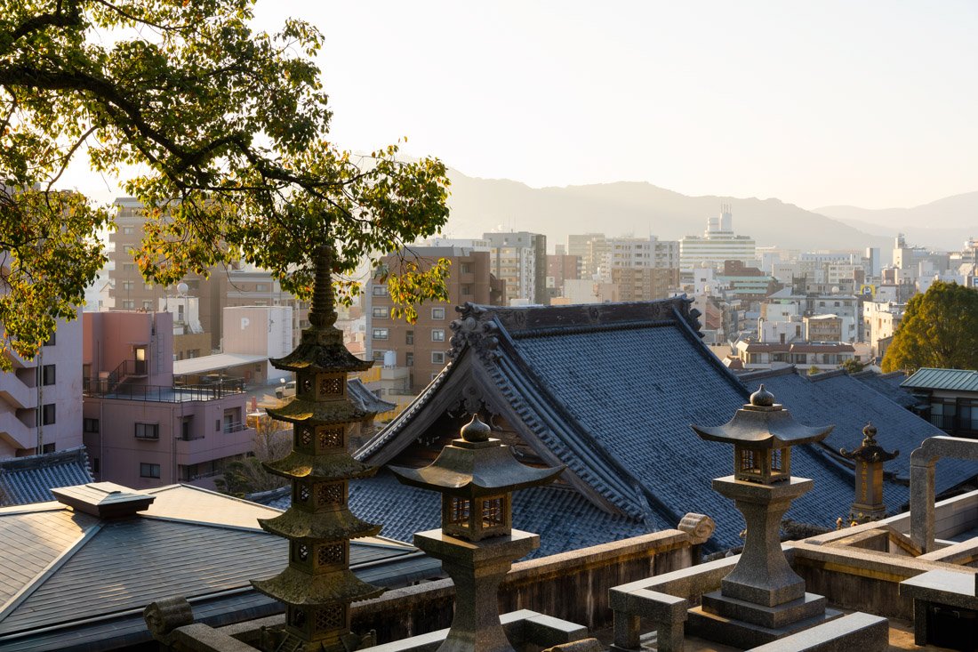
Sofuku-ji Temple.
Kumamoto
Kumamoto is a city with great historical and natural appeal. Famous for its magnificent feudal castle, one of the most imposing and impressive in Japan, it is a symbol of the samurai era and the power of the local clans. The area surrounding the city is home to spectacular nature, dominated by Mount Aso, one of the largest and most active volcanoes in the country.
What to Do and See in Kumamoto
Kumamoto Castle and Surroundings
Kumamoto Castle (Google Maps) is one of the most beautiful castles in Japan and the third largest. Unfortunately, as is the case with most castles in Japan, this is a recent reconstruction, as the original was burned down during a rebellion in 1877. As if that were not enough, many of the buildings in the park were severely damaged during the 2016 earthquake. The main keep has been reopened to the public, but rebuilding the other surrounding buildings will take years. I recommend visiting it nonetheless. Admission costs 800 yen, and the official app offers a free audio guide. Bring headphones; there is free Wi-Fi. For an excellent completely free view of the castle, go up to the 14th floor of Kumamoto City Hall (Google Maps).
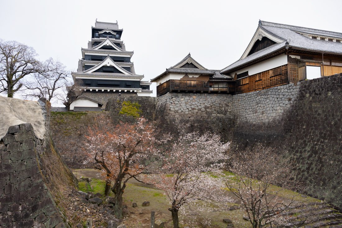
Kumamoto Castle.
Still within the castle grounds is Hosokawa Gyōbutei (Google Maps), the former residence of the Hosokawa family, an important samurai clan that ruled the Kumamoto domain. It is a traditional Japanese-style residence surrounded by an elegant garden, offering an authentic glimpse into the life and architecture of the samurai aristocracy during the Edo period. Unfortunately, during my visit, access was completely prohibited due to damage caused by the earthquake. Nearby, you could also consider visiting the Kumamoto City Museum (Google Maps).
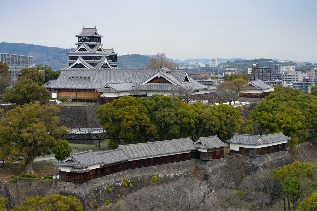
View from Kumamoto City Hall.
Various Temples
Honmyo-ji Temple (Google Maps) is one of the most famous temples in Kumamoto. The temple itself is nothing special, but it is located at the top of a hill, offering excellent views over the city and, weather permitting, even Mount Aso in the distance. There is also an avenue lined with cherry trees on both sides, which I imagine must be very impressive when they are in full bloom. Apparently, there is also a cherry blossom festival held here. If you decide to go up, I recommend continuing on to Honmyoji Park (Google Maps), where the view is even better and there is a statue of Katō Kiyomasa, a famous samurai who had Kumamoto Castle built.
If you don’t feel like exerting yourself, there is a nice temple in the city that does not require climbing any stairs, Fujisaki Hachimangu (Google Maps). On the other hand, if you are looking for another viewpoint, I recommend going up to Hanaokayama Pagoda (Google Maps). Here too, in addition to offering an excellent view over the city, there is a beautiful cherry-lined avenue, which I imagine must be quite nice during cherry blossom season.
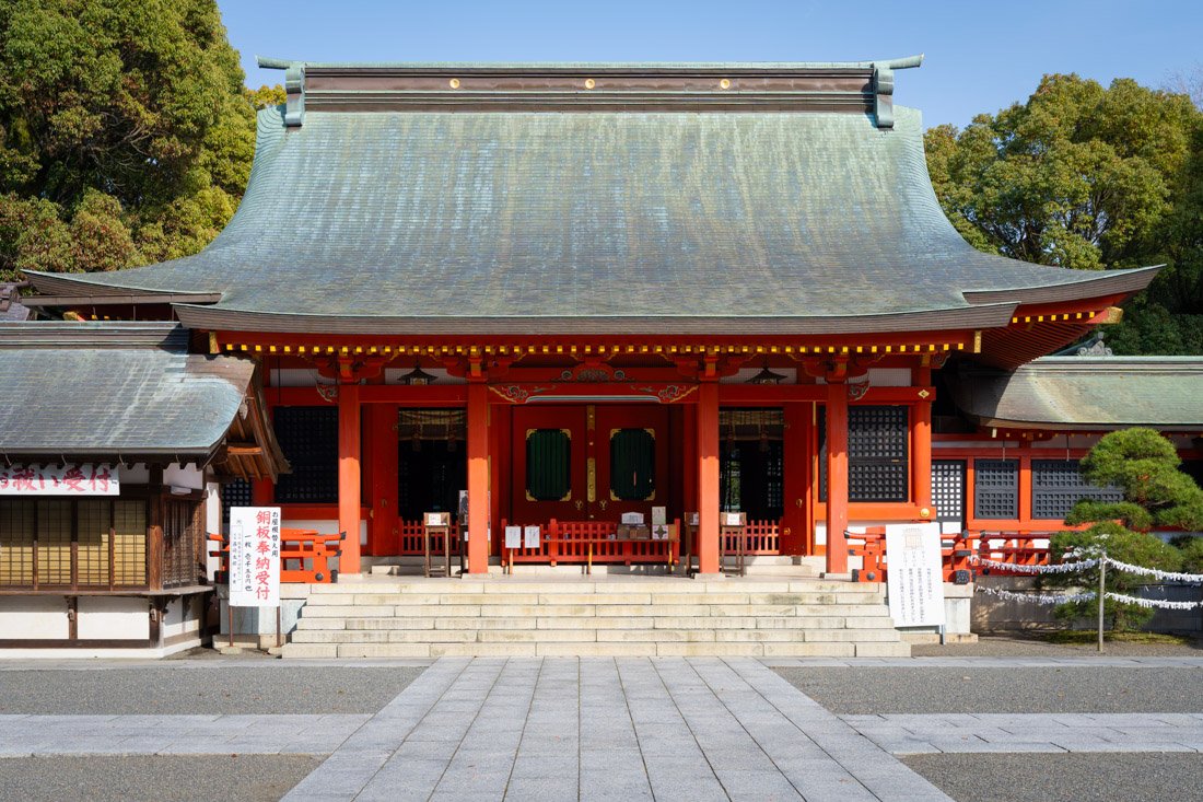
Fujisaki Hachimangu.
Mount Aso
Mount Aso is one of the largest and most active volcanoes in Japan. Its vast caldera offers breathtaking landscapes; personally, I think it is absolutely worth visiting. I recommend taking the first train heading to Aso Station (Google Maps) so that you can catch the first bus up to the volcano. The bus stop is right in front of the station exit; this is the official bus website. The ticket costs 1,500 yen and allows you to get on and off the various buses as many times as you want throughout the day. If you like, you could also take the bus down from Asosanjo Terminal to the visitor centre, or vice versa. The first bus was almost full even on a Wednesday, so I imagine that during the weekend some people are almost certainly left behind. Get off at the last stop, Asosanjo Terminal (Google Maps).
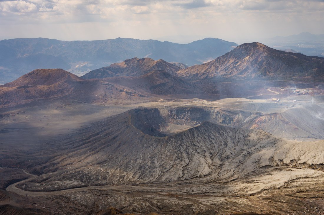
The volcano crater.
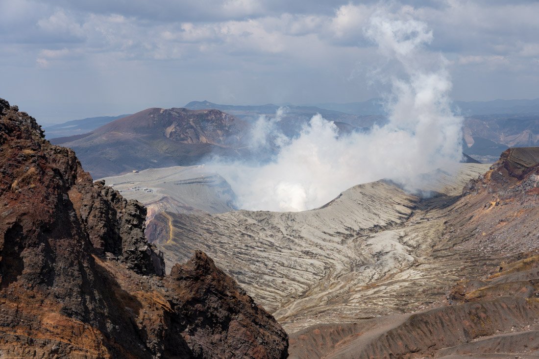
From here, there are several options: I did the trail described on this page (All Trails); I wanted to do this loop (All Trails), but I was literally freezing to death. I happened to be there on a really cold day in late March, with wind gusts of around 60 km/h and a perceived temperature of -5 degrees. The trail was not particularly difficult, but it was not exactly a walk in the park either. In any case, there are plenty of options: there are easier trails, such as this one (All Trails), and although access to the crater was closed during my visit due to the high level of activity, you could simply hike up to the crater.
After doing some hiking, I recommend stopping by the visitor centre (Google Maps), where there is a small exhibition dedicated to the park. If you want to visit the actual museum, you have to pay 1,100 yen to enter the second floor of the building (Google Maps). According to the reviews on Google Maps, most of the information is only available in Japanese, so I did not go in. Across the road there is an easily accessible viewpoint (Google Maps). That said, if it is getting late or you simply don’t feel like it, you can easily head back down to the valley and skip the visitor centre.
Takachiho Gorge
I did not personally visit it because it is quite inconvenient to reach by public transport, but Takachiho Gorge (Google Maps) is a very popular destination. Located less than two hours by car from Kumamoto, it can also be visited as a day trip if you rent a car. The gorge is famous for its vertical rock walls, the crystal-clear waters of the river and its striking waterfalls, which create a spectacular natural landscape. You can find more information on this page.
Where to Stay in Kumamoto?
I stayed at HOTEL CARNA A and I recommend it. The property is rather dated, to the point that the capsules even have CRT televisions, but the price is very reasonable and, above all, there is an excellent Daiyokujō (large public bath) complete with a sauna.
How to Get to Kumamoto?
Kumamoto has direct bus connections to and from Fukuoka, Nagasaki and Kagoshima. You can book online through websites such as global.atbus-de and Willer. The main bus terminal is Sakuramachi Bus Terminal (Google Maps). The main train station, where you can also take the shinkansen if you want, is Kumamoto Station (Google Maps).
In the “How to Get Around Japan” section, you will find plenty of other useful information.
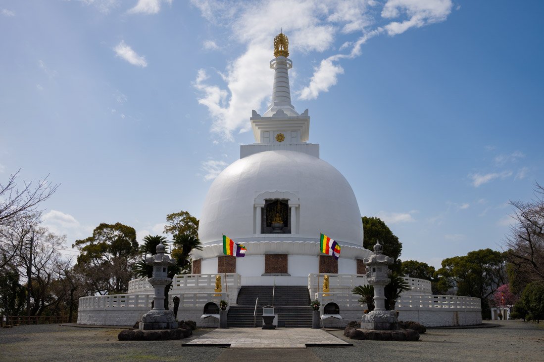
Hanaokayama Pagoda.
Beppu
On the eastern coast of Kyushu lies Beppu, one of the most famous hot spring resorts in Japan. The city is renowned for its onsen (Japan’s traditional natural hot springs) and its spectacular “hells”, natural hot springs with striking colours and unusual formations.
I did not personally visit it: Kyushu’s public transport network makes it more convenient to reach Beppu from Fukuoka, but this means having to return to Fukuoka afterwards to continue the journey. Considering that my itinerary offered other opportunities to experience the classic onsen experience, I preferred to dedicate my time to other stops. It is nevertheless a very popular destination, which I think is worth mentioning at least.
Furthermore, if you are planning to visit Shikoku, a ferry departing from Saganoseki, a town not far from Beppu, connects the two islands directly. Essentially, depending on your travel plans, Beppu could prove to be an interesting stop.
On this page you can find more information about the different onsen in the area.
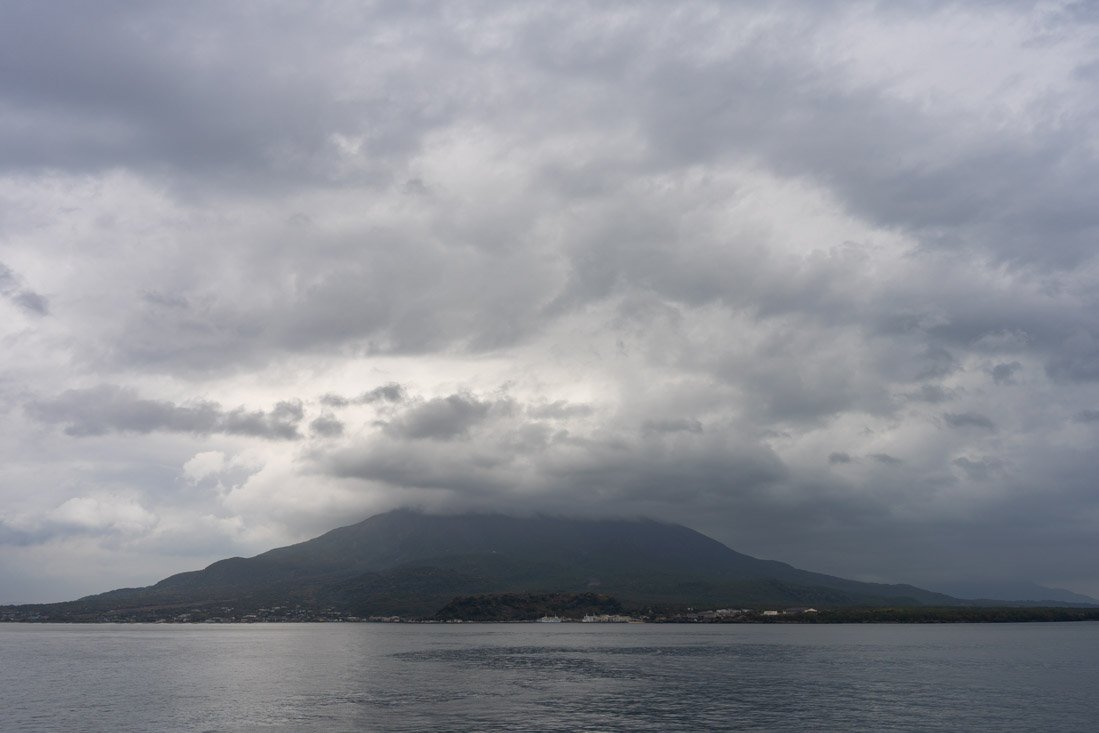
Sakurajima Volcano.
Kagoshima
Overlooking a beautiful bay dominated by the majestic Sakurajima volcano, which is still active today, Kagoshima was one of the cradles of samurai culture and the birthplace of Saigō Takamori, a symbolic figure of the Meiji Restoration. Today, it combines its past with a relaxed atmosphere and some of the most striking natural scenery in Japan.
What to Do and See in Kagoshima
Kagoshima City
I recommend starting your visit to the city at the Museum of the Meiji Restoration (Google Maps). Admission costs 300 yen and includes a free audio guide in English. At regular intervals, two interesting films are also shown, both available in English. It may not be the best museum I have ever visited, but it is not bad either, and overall I recommend it. Afterwards, head towards what remains of Tsurumaru Castle (Google Maps); the only truly interesting part is the old gate, given the recent restoration (Google Maps). Once this short visit is over, I recommend heading up to the observation platform at Shiroyama Park (Google Maps), which offers fantastic views over the city with Sakurajima volcano in the background. Finally, I did not visit them, but the Sengan-en Gardens (Google Maps) are often recommended. Admission is relatively expensive compared to many other traditional gardens, but according to many reviews, they are absolutely worth it.
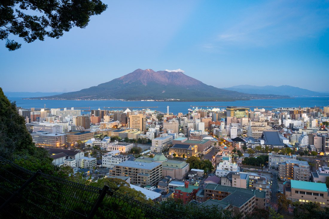
Shiroyama Park observation platform.
Sakurajima
Sakurajima is one of the most active volcanoes in Japan and the symbol of Kagoshima. The volcano constantly emits smoke, and minor eruptions often occur several times a day. The ferry (Google Maps) to the island in the bay where the volcano is located runs very frequently, literally 24 hours a day, and costs only 200 yen. Once you arrive on the island, from the port (Google Maps), I recommend walking to the visitor centre (Google Maps) , where you can watch a video and there is also a small exhibition, a sort of small museum where the history of the island and its formation are explained. Once you have finished your visit, head down to the area with the foot baths (Google Maps). At this point, if you are luckier than I was, you could take the bus (it runs every half hour and a day pass should cost 500 yen) to the public-access viewpoint closest to the crater (Google Maps). Unfortunately, during my visit, the summit of the volcano was completely covered by clouds, so I decided not to go up since there would have been no view. For reference, you could also hike up on foot as described on this page (All Trails). Just to pass the time before heading back to Kagoshima, I ended up doing the short coastal trail (Google Maps) to Karasujima Observatory (Google Maps), nothing special.
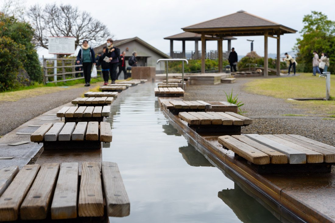
Foot baths.
Mount Kaimondake
Because of its almost perfectly conical shape, which resembles that of Mount Fuji, Mount Kaimondake is often called the “Fuji of Kagoshima”. It is a very nice hike with a bit of scrambling near the summit. The trail is well maintained and relatively busy even during the week; it seems to be a very popular hike among locals. From the summit, you get fantastic views over Lake Ikeda and Kagoshima Bay. You can find the trail described on this page (All Trails).
If, like me, you travel by public transport and love travelling by train, it is possible to take the 10:00 train from Kagoshima, get off at Kaimon Station (Google Maps), hike to the summit, and then return to the city on the 16:37 train, but you need to maintain a good pace. I had no problems, but if you want to take it more slowly, apparently you can take a bus to or from Ibusuki, where train connections to Kagoshima are more frequent.
That said, you could stop in Ibusuki anyway and visit the famous “sand baths” at Sunamushi Onsen (Google Maps), where instead of soaking in hot water, you are “buried” in sand heated by volcanic activity. I did not go, but judging by the number of tourists I saw getting on and off the train, it seems to be really popular.
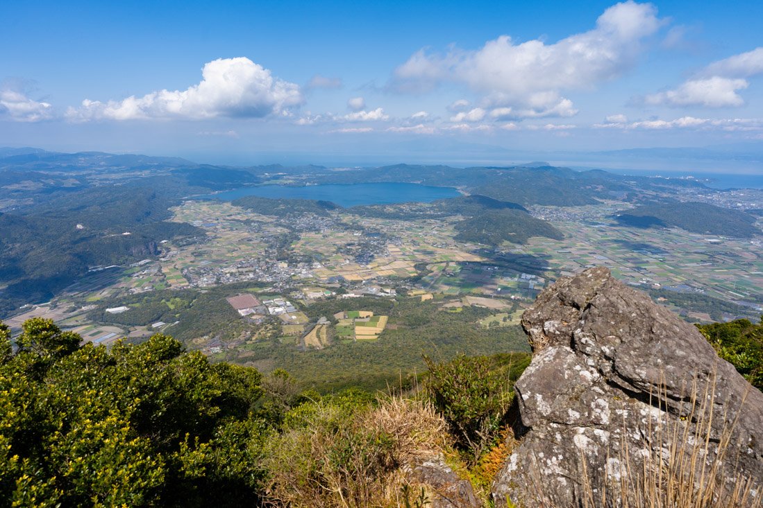
Mount Kaimondake.
Yakushima
Yakushima is the rainiest island in Japan. This constant rainfall supports lush vegetation and ancient cedar forests that look like they have come straight out of a Miyazaki film. It is no coincidence that Princess Mononoke was inspired by these very landscapes.
The island and its national park really seem like an extraordinary place, which I feel comfortable recommending based on my research and the experiences shared by other travellers. Unfortunately, I cannot speak from personal experience, as the weather forecast was terrible for several days and I did not want to stay put for too long waiting for a better weather window. So, somewhat reluctantly, I left Kagoshima without visiting Yakushima.
That said, there are three options for getting to the island: two ferries and a high-speed boat. On the Green Guesthouse’s official website, you can find a very useful summary table with all the schedules and prices. On this page you can find some interesting ideas for planning an itinerary.
Kirishima-Kinkōwan National Park
Finally, if you are interested in other hikes using Kagoshima as a base, Kirishima-Kinkōwan National Park, north of the city, is not very far away. However, at least during my visit, public transport was so poor that I gave up on visiting it. If you are willing to rent a car, though, I think it could be an interesting destination. I had identified this hike, but on this page you can find plenty of other interesting ideas.
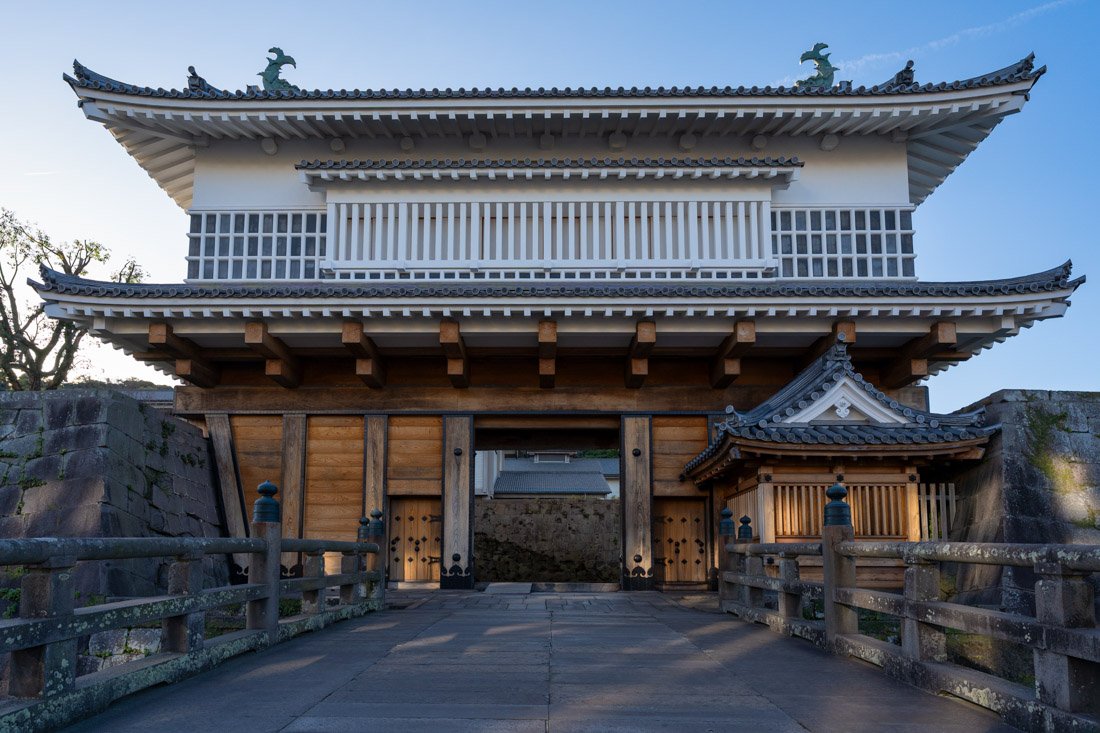 Gate of Tsurumaru Castle.
Where to Stay in Kagoshima?
I stayed at Green Guesthouse. It is nothing exceptional, but it has an excellent location, just a short walk from both Kosokusen Terminal and the port where the ferries to Sakurajima and Yakushima depart. Overall, I recommend it.
How to Get to Kagoshima?
Kagoshima has direct bus connections to and from Kumamoto as well as Fukuoka. You can book online through websites such as global.atbus-de and Willer. The main bus terminal is Kagoshima Chūō (Google Maps), but many buses also stop at Kosokusen Terminal (Google Maps), which is a short walk from Green Guesthouse. The main train station, where you can also take the shinkansen if you want, is Kagoshima-Chūō Station (Google Maps). Finally, given how far south Kagoshima is, it is definitely worth considering taking a domestic flight, especially if you plan to leave the island of Kyushu. If booked in advance, flights can be very competitively priced. In the “How to Get Around Japan” section, you will find plenty of other useful information.
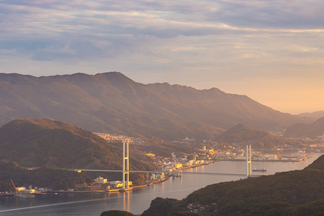
Nagasaki.
SHIKOKU
Shikoku is the smallest of Japan’s four main islands and one of the least visited by international tourists. It is best known for the pilgrimage of the 88 temples, a spiritual journey that crosses the entire island and attracts both pilgrims and travellers looking for more contemplative experiences.
Away from the hectic pace of the major cities, Shikoku offers beautiful natural scenery, traditional villages and hot springs. Its rugged coastline, the suspension bridges connecting it to Honshū, and the warm local hospitality make it an ideal destination for those who want to explore a more intimate and authentic side of Japan.
I literally never set foot on Shikoku, so I do not have much information about it. However, as mentioned, you could take the ferry from Saganoseki if you are in Kyūshū, or use one of the various bridges connecting it to Honshū. Essentially, it is not that difficult to include Shikoku in your itinerary. On this page, you can find some ideas on what to do and see.
HONSHŪ
Honshū is the largest and most populous of the islands in the Japanese archipelago, as well as the country’s cultural, economic and political heart. This is where Japan’s main cities (Tokyo, Kyoto, Osaka and Hiroshima) are located, along with some of the country’s most iconic and representative destinations, such as Mount Fuji. It is precisely here, along the route from Tokyo to Hiroshima, that most international tourism is concentrated.
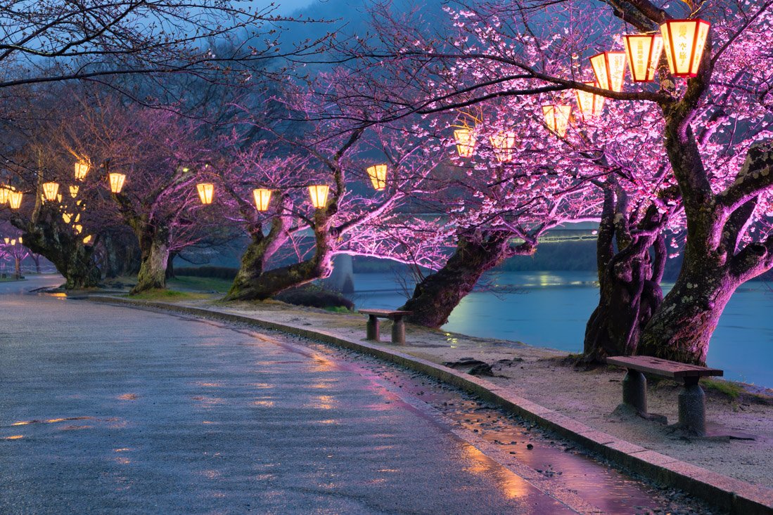
Iwakuni.
Hiroshima
Located in the Chūgoku region on the island of Honshū, Hiroshima is a city of profound historical and symbolic significance. Sadly famous for having been the target of the first atomic bomb on August 6, 1945, Hiroshima is today a modern and lively city that combines remembrance and hope.
What to Do and See in Hiroshima
Hiroshima has a pleasant city centre, whose main thoroughfare is Hondori Street (Google Maps), a long covered pedestrian arcade filled with shops and restaurants. It is the typical shopping street found in many Japanese cities: pleasant for a stroll, but nothing particularly special.
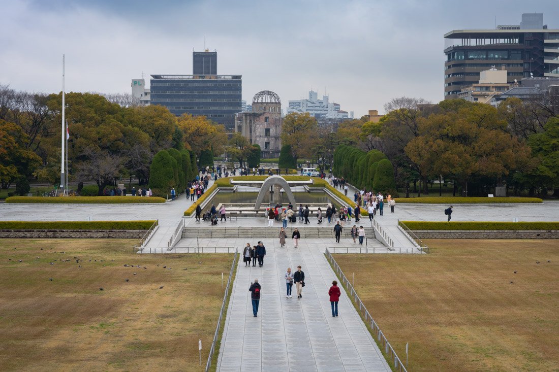
Hiroshima Peace Park.
Hiroshima Peace Park
I recommend starting your visit at the Hiroshima Peace Memorial Museum (Google Maps). During the high season, there was already a queue to get in at 9:00, and the inside was really crowded, so I think it is definitely worth going as early as possible. The museum retraces the history of Hiroshima and the advent of the atomic bomb. However, the main focus is on the events of August 6: the dropping of the bomb and its consequences in terms of human suffering. Admission costs 200 yen. I did not get one, but there is also an audio guide available for 400 yen.
Then walk through the Peace Memorial Park (Google Maps), which was once the political and commercial heart of the city and, precisely for this reason, was chosen as a target. Finally, visit the famous Atomic Bomb Dome (Google Maps). Originally the Hiroshima Prefectural Industrial Promotion Hall, it was one of the few buildings to remain standing after the explosion on August 6, 1945. Today, it has been preserved in the same condition as it was then, as a memorial and a universal warning against nuclear war.
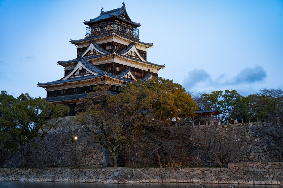
Hiroshima Castle.
Hiroshima Castle
Hiroshima Castle (Google Maps), also known as the Carp Castle, was built in 1589 by the powerful feudal lord Mōri Terumoto and was an important centre of power in western Japan for centuries. Spared from the demolitions of the Meiji period, it was nevertheless completely destroyed, along with the rest of the city, by the atomic bomb in 1945. What you can see today is therefore a reconstruction. Admission costs 370 yen and includes a free audio guide (I recommend bringing headphones). The exhibition inside, dedicated to the history of the castle and the city, is not particularly memorable, but the panoramic view from the top floor is worth it. On Sunday afternoons at 13:00 and 15:00, there should be a completely free samurai show.
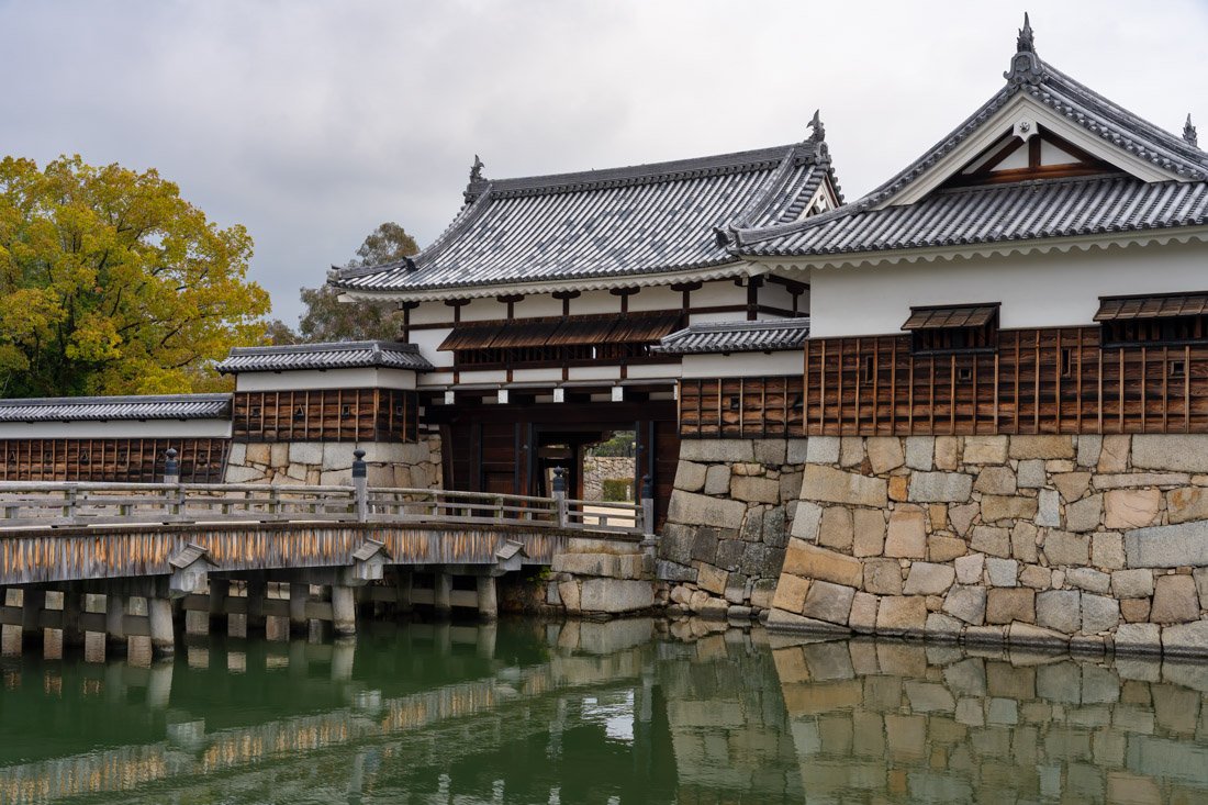
Shukkeien Garden
Shukkeien Garden (Google Maps) is an elegant Japanese garden dating back to 1620, created shortly after the construction of Hiroshima Castle. Hills, valleys and miniature forests recreate natural landscapes on a smaller scale, with paths winding around a central pond. It is a beautifully maintained and peaceful place, perfect for a relaxing break while exploring the city after visiting the atomic bomb museum. Admission costs only 260 yen and is undoubtedly worth it.
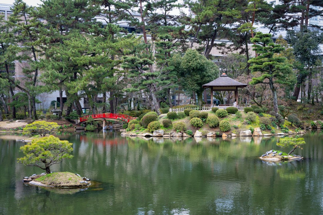
Shukkeien Gardens.
Mazda Museum
The Mazda Museum is located inside the company’s main plant in Hiroshima (Google Maps). The tour, which is free and also available in English, traces the history of the car manufacturer through models from different eras and part of the production line. Advance booking is required as it is very popular. I did not visit it personally, so I cannot speak from direct experience, but it seems like an interesting experience for car enthusiasts.
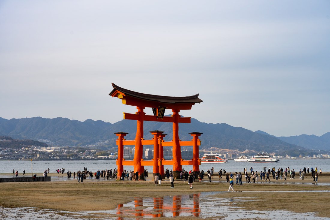
Torii gate.
Itsukushima Island
Itsukushima is a small island located about half an hour south of Hiroshima. It is best known for its gigantic torii gate, which at high tide appears to float on the water. It is a very popular day trip for those visiting Hiroshima. Do not expect a peaceful atmosphere, though: the island is almost always crowded, but it is still a destination I recommend.
To reach Itsukushima from Hiroshima, you have two options: you can take the train to Miyajimaguchi Station (Google Maps) or tram line 2 to the final stop, Hiroden-Miyajimaguchi (Google Maps). The train is slightly faster but literally costs twice as much, so the choice is yours. Once you arrive, ferries to the island run continuously. If you have a JR Pass, this ferry is included; otherwise, it costs 200 yen one way, which you can pay directly with your IC card without having to queue to buy a ticket.
Once you arrive on the island, I recommend heading towards Hokoku-jinja Shrine (Google Maps). You can easily skip going inside, and honestly the same applies to the more famous Itsukushima Jinja (Google Maps). Admission costs only 300 yen, but besides having to queue, there is really very little to see. In my opinion, most people go in just to take a photo with the torii gate in the background. The museum costs another 200 yen, which I did not pay, so I do not know what is inside. Up to you.
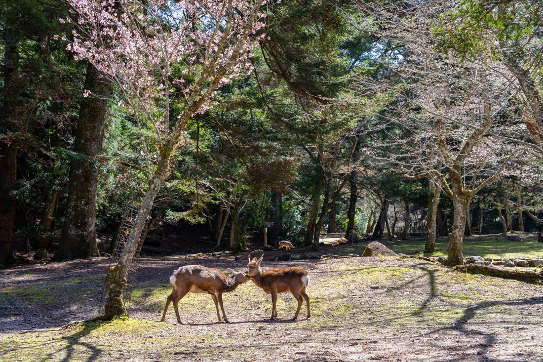
Omoto Park.
Afterwards, I recommend walking to Omoto Park (Google Maps), where there are usually plenty of deer as well as cherry blossoms at the right time of year. If you feel like putting in a bit of effort, from here there is a trail also marked on Google Maps that climbs to Mount Komagabayashi (Google Maps), which offers excellent views over the bay, and then you can continue towards Mount Misen (Google Maps), which offers a similar view but is much more crowded since the cable car station is nearby. From here, I recommend descending along the main trail (All Trails), which is the least steep and best maintained, stopping at Daisho-in Temple (Google Maps). If for any reason you do not feel like walking up, as mentioned there is a cable car that departs from this point (Google Maps) and arrives at Shishiiwa Station (Google Maps). You could also take the cable car up and then walk down, as many people seem to do. I recommend the walking loop, but it does not make much difference. The choice is yours.
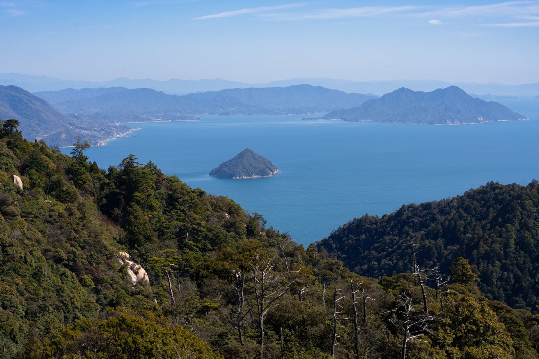
View from the summit.
Iwakuni
Iwakuni is a small city about an hour south of Hiroshima (and half an hour from Itsukushima), best known for its iconic Kintai-kyo Bridge, a five-arched wooden structure considered a masterpiece of traditional Japanese engineering and built entirely without metal nails. From Hiroshima there are frequent connections to Iwakuni Station (Google Maps). Once you arrive at the station, take the bus to this stop (Google Maps). From here, you can choose to cross the famous bridge on foot (Google Maps); they charge 300 yen to do so. I honestly did not even know this and headed straight to the bridge farther north because I simply wanted to see Kintai-kyo from another angle. Afterwards, I explored the park surrounding Kikko Shrine (Google Maps) and took the trail marked on Organic Maps that leads to Iwakuni Castle (Google Maps). It is certainly not the most impressive castle in Japan, but I still found the visit pleasant. Admission costs 270 yen, and inside there is a sort of small museum with katana, various weapons and the history of the castle.
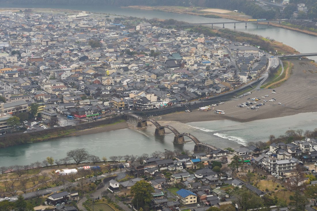
View from the castle.
That said, if you are on a limited budget, you could simply walk up and stroll around the castle; going inside is absolutely not necessary. If, on the other hand, money is not an issue, you do not feel like walking, or you simply want to take the cable car to the castle (Google Maps) instead of the trail mentioned above, it is definitely worth buying the combo ticket at the entrance to the bridge (Google Maps). It costs 970 yen and allows you to cross Kintai-kyo Bridge, take the cable car and enter the castle. Finally, during cherry blossom season, which usually takes place in early April around here, the avenue lined with cherry trees and lanterns in Ukai Park (Google Maps) along the river is really very picturesque. For reference, if you leave early in the morning, you could definitely visit both the island and Iwakuni in the same day.
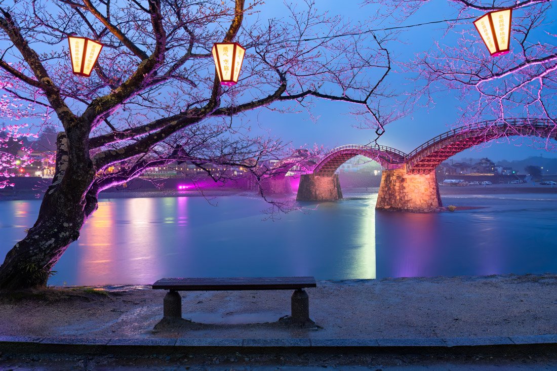
Kintai-kyo Bridge.
Where to Stay in Hiroshima?
I spent a couple of nights at Guesthouse Akicafe Inn, a really nice property with friendly staff and a practically perfect location just a short walk from the station. One of the best hostels I stayed at during my trip to Japan. They also have private rooms. I also spent a couple of nights at Hiroshima Guesthouse HARU. The property is not as well maintained and the location is slightly less convenient, but it is still a good hostel with excellent value for money.
How to Get to Hiroshima?
Hiroshima has direct bus connections to and from Fukuoka to the west and Osaka to the east. You can book online through websites such as Willer. The main bus terminal is Bus Station Hiroshima Station North Gate (Google Maps), but many buses also stop at Hiroshima Bus Center (Google Maps). The main train station, where you can also take the shinkansen if you want, is Hiroshima Station (Google Maps). Finally, depending on your itinerary, you could consider flights to and from Hiroshima. If booked in advance, prices can be very competitive and save you quite a bit of time. In the “How to Get Around Japan” section, you will find plenty of other useful information.
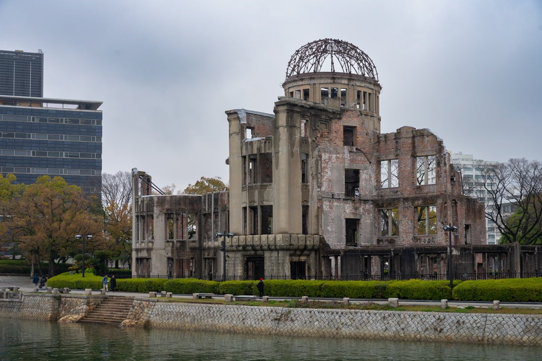
Atomic Bomb Dome.
Onomichi
Onomichi is a small town halfway between Hiroshima and Himeji, perfect for anyone who wants to break up the journey and step slightly outside the classic tourist itinerary.
What to Do and See in Onomichi
The number one attraction in Onomichi is undoubtedly the so-called “Temple Walk”, which connects no fewer than 25 temples over less than 3 km. It is an extremely pleasant way to spend half a day. The route is well signposted, starts at this point (Google Maps) and also passes through the famous “Cat Alley” (Google Maps). I also recommend including the “Path of Literature”, which leads to the observation deck at the top of Mount Senkoji (Google Maps). If you want, you could also take the cable car (Google Maps).
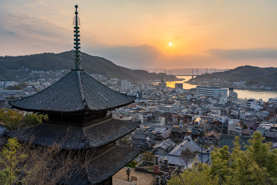
Temple Walk.
Essentially, you could combine everything by following the GPS track you can find on this page, which also includes Saikoku Temple (Google Maps), officially outside the “Temple Walk” and therefore much less crowded, but nice and with excellent views. In case you had not had enough of walking and visiting temples, I also went to Jodoji Okunoin Manpuku Temple (Google Maps), which has a nice observation platform behind it (Google Maps).
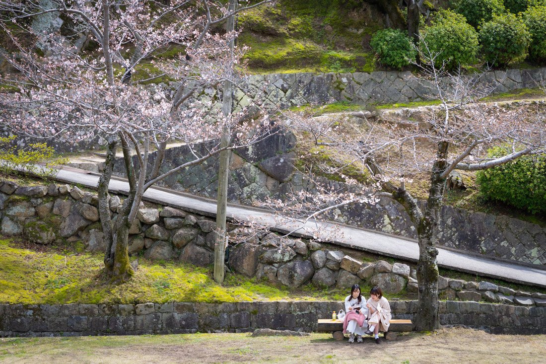
Temple Walk.
Where to Stay in Onomichi?
I spent a couple of nights at Onomichi Guest House, nothing particularly good or bad. If you are looking for a cheap option, it is not too bad.
How to Get to Onomichi?
Whether you are arriving from Hiroshima to the south or Himeji/Osaka to the north, I recommend taking the train on the San-yo Line to Onomichi Station (Google Maps). If you are in a hurry and do not mind spending much more, you can take the Shinkansen to Fukuyama, from where you will still need to continue on the San-yo Line. In the “How to Get Around Japan” section, you will find plenty of other useful information.
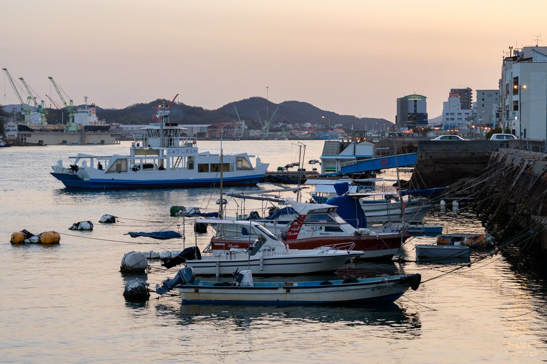
Onomichi.
Okayama, Naoshima and Teshima
From Onomichi, I went straight on to Himeji, but there are a few interesting destinations in between that I think are worth mentioning. First of all, Okayama Castle (Google Maps), nicknamed the Black Castle because of the dark colour of its exterior walls, and the nearby Kōraku-en Garden (Google Maps), considered one of the most beautiful in Japan.
Okayama is also an excellent base for exploring the islands of Naoshima and Teshima, which are particularly popular among contemporary art enthusiasts. You can find some information at the links.
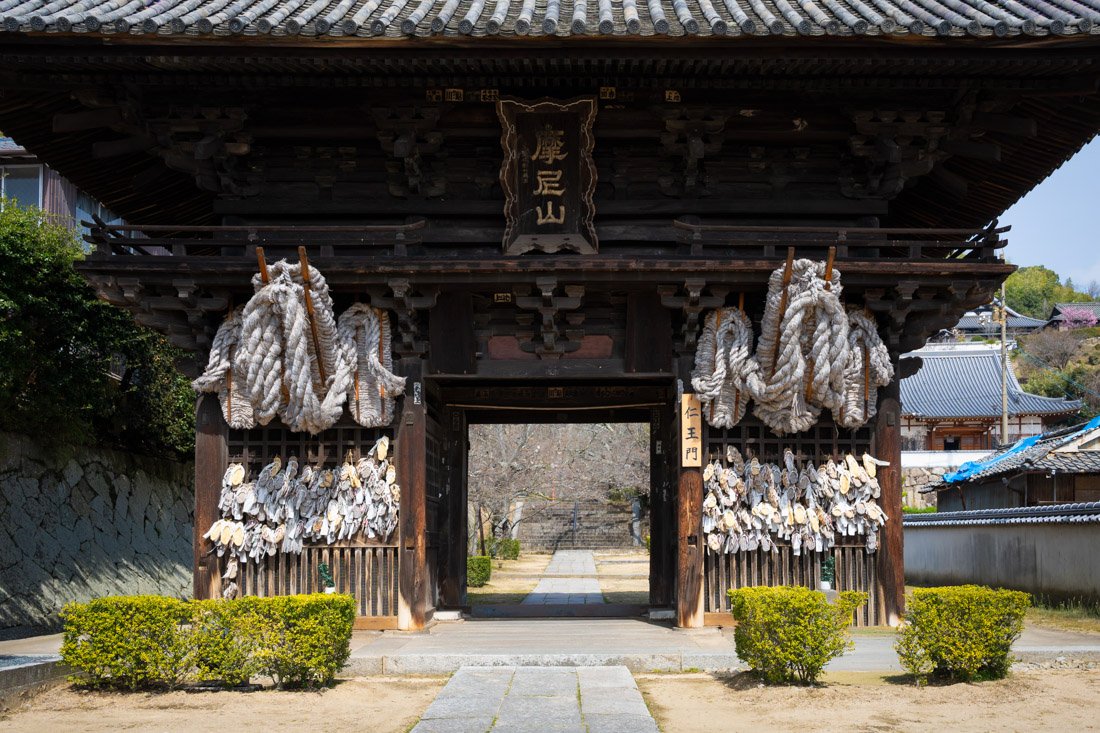
Saikoku Temple.
Himeji
Himeji is a city famous for its magnificent castle, considered the most beautiful in Japan. Also known as the “White Heron Castle”, Himeji Castle, dating back to 1609, is one of the few examples of Japanese feudal architecture to have survived wars, earthquakes and bombings intact. Today, it is one of Japan’s most iconic symbols and a UNESCO World Heritage Site.
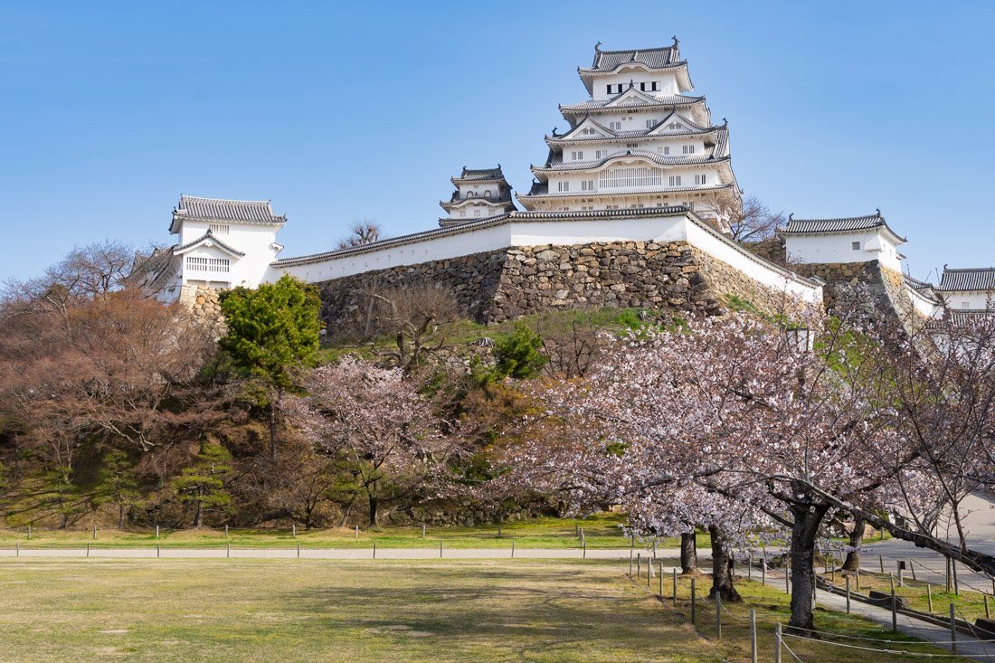
Himeji Castle.
What to Do and See in Himeji
Himeji Castle
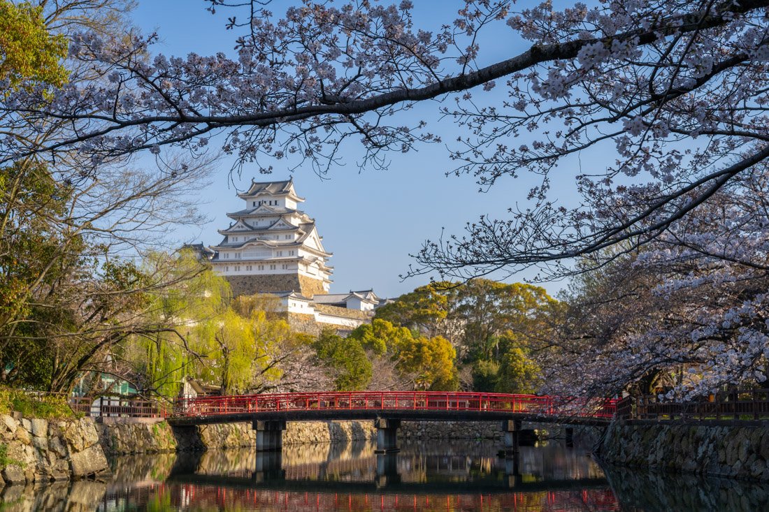
Himeji Castle (Google Maps) is undoubtedly the number one attraction in the city. I had the pleasure of visiting it during cherry blossom season and, despite the crowds, it was undoubtedly one of the highlights of my trip to Japan. Especially during high season, I recommend going in as early as possible to avoid long queues. They open at 9:00, and when I left at 10:30 there was already a very long line. Admission costs 1,000 yen. Unfortunately, the main keep is essentially empty; the visit mostly consists of flight after flight of stairs. Honestly, if you are on a really tight budget, you could skip entering the castle itself. That said, if you do decide to go in, I recommend paying the extra 50 yen to visit the inner gardens. Otherwise, you could simply enjoy the castle from the outer park.
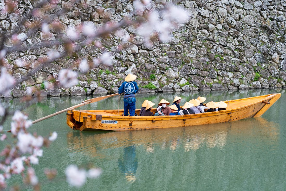
The nearby Koko-en Gardens (Google Maps) are also quite nice, but once again, expect them to be fairly crowded. Finally, at this spot (Google Maps) there is a nice view of the castle, which you can see in the photo below, and if you are looking for a quiet place with a beautiful view not only of the castle but of the entire city, I recommend going up to Otokoyama Haisui’ike Park (Google Maps).
Shoshazan Engyoji Temple
Located on Mount Shosha, northwest of Himeji, the Shoshazan Engyoji temple complex is an ancient Buddhist place of worship founded in the 10th century. Set in an atmospheric forest, it preserves wooden buildings of great historical and spiritual value. Its atmosphere and architectural charm have served as a backdrop for numerous films, including The Last Samurai.
To get there, take any bus heading to Shosha Bus Stop (Google Maps). Afterwards, I recommend walking up; it takes about 20 minutes. The trail starts at this point (Google Maps), is easy to follow and is also marked on Google Maps. Of course, as is often the case in Japan, there is also a cable car. The station is located here (Google Maps), and a round-trip ticket should cost 900 yen. The trail comes out directly where the upper cable car station is located (Google Maps). Whether you choose to walk up or take the cable car, from here you need to walk for another twenty minutes or so to reach the actual complex. Alternatively, there are also paid shuttle buses connecting the upper station to the temple area. Again, I recommend walking, especially since this section is much less steep. Just after the upper station is where you need to pay the 500-yen entrance fee. The two buildings you absolutely should see are Engyoji – Maniden (Google Maps) and Engyoji Three Halls (Google Maps), but there are many other shrines, temples and more. I recommend exploring the entire area, which I found very nice and, at least during my visit, not crowded at all.
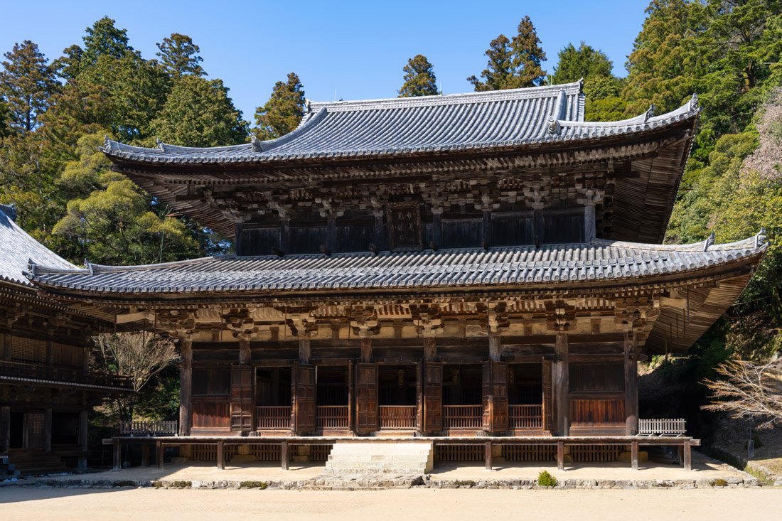
Engyoji Three Halls.
Where to Stay in Himeji?
I stayed at Himeji 588 Guest House, in an excellent location halfway between the train station and the castle. They are very strict about check-in times and luggage storage, but otherwise it is not bad at all.
How to Get to Himeji?
Himeji Station (Google Maps) has extremely frequent connections both towards Onomichi/Hiroshima to the south and Kōbe/Osaka to the north. In the “How to Get Around Japan” section, you will find plenty of other useful information.
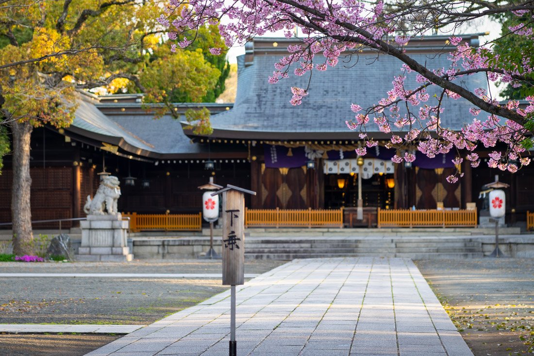
Himeji Gokoku.
Kōbe
Located between the mountains and the sea, and famous for its prized beef, Kōbe is an old trading port that blends Western influences and Japanese tradition in a refined urban landscape.
What to Do and See in Kobe
For domestic tourists, one of Kōbe’s main attractions is the Kitano district (Google Maps), where European diplomats and merchants once lived. Here you will find numerous Western-style houses, many of which now contain small museums and cafés. The most famous is Moegi House (Google Maps); I did not even go inside, so I do not know whether it is worth it or not. For those coming from Europe, however, the visit may not be particularly interesting. It is still a pleasant walk, ideal if you have some free time or want to make a half-day stop on the way to another destination. Kōbe’s Chinatown (Google Maps) is also worth visiting. In my opinion, it is the most charming of the ones I saw in Japan, lively and full of stalls and restaurants. Finally, trying the famous Kōbe beef is almost a must.
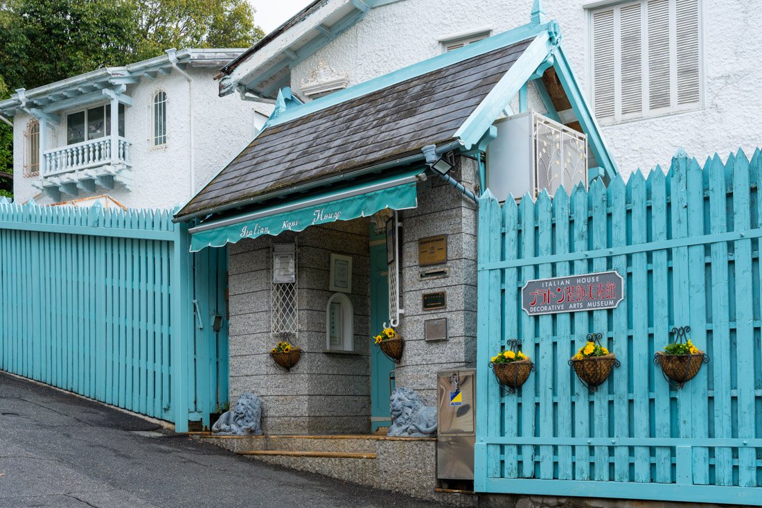
Kitano district.
Mount Rokko
I only spent half a day in Kobe, visiting from Osaka, and I did not want to stay until late, so I left in the late morning. But if you decide to stay longer or perhaps spend the night here, you could go up to Tenran Observatory (Google Maps). The view is considered one of the most beautiful in Japan and is often described as one of the country’s “three great night views” (Nihon Sandai Yakei), together with those of Hakodate and Nagasaki. You can take the cable car from this point (Google Maps), which is connected to the city by bus.
How to Get to Kobe?
Kobe has extremely frequent train connections both north and south to all the main tourist destinations in the surrounding area. In the “How to Get Around Japan” section, you will find plenty of other useful information.
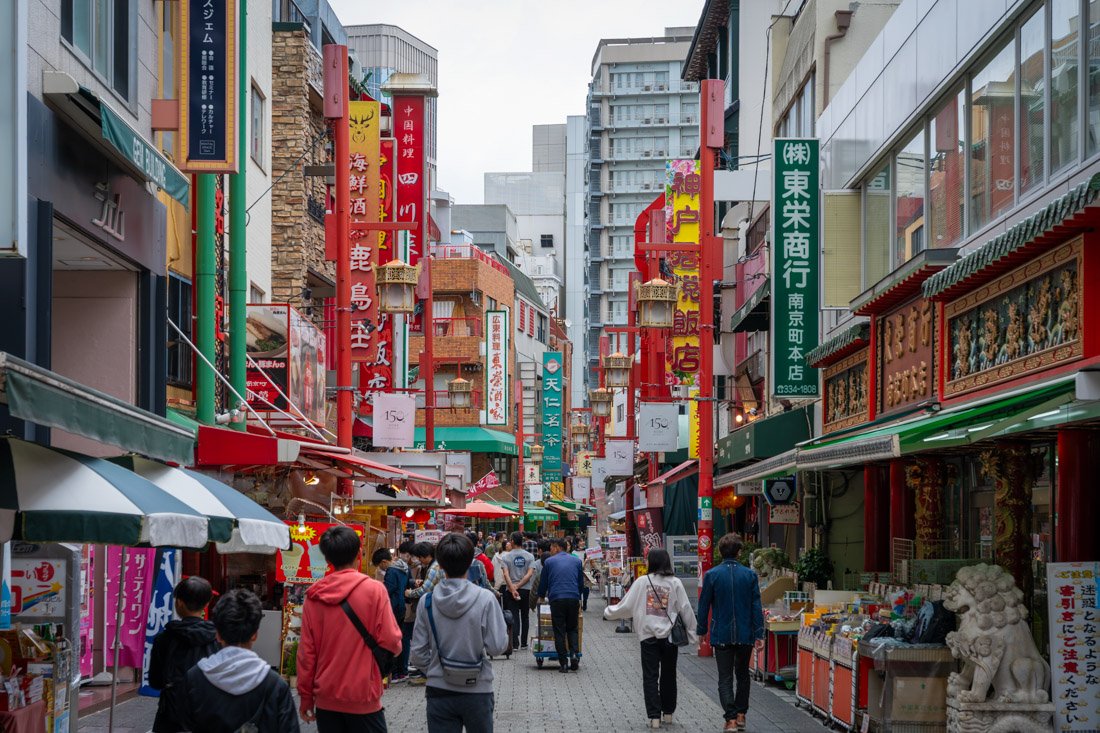
Chinatown.
Osaka
Osaka is Japan’s second-largest metropolitan area after Tokyo and has represented the economic heart of the Kansai region for centuries. Known in the past as Naniwa, it was Japan’s first capital before the Nara period, when the imperial seat changed with each new ruler. Today, Osaka is a modern and lively metropolis, famous for its commercial spirit and imposing castle.
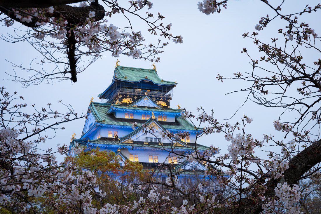
Osaka Castle.
What to Do and See in Osaka
Osaka Castle
Osaka Castle (Google Maps) and its large park (Google Maps) are undoubtedly among the city’s most iconic places. I honestly did not even go inside the castle itself. I visited Osaka during peak cherry blossom season and there was an absurd queue to get in. From what I read, as with other castles in Japan, the interior is not particularly interesting, so I saved myself the endless wait as well as the 1,200-yen ticket. However, I cannot speak from direct experience. If you decide to go in, apparently buying your ticket online should save you some time during high season. I did, however, enter Nishinomaru Garden (Google Maps). More than a garden, it is a park full of cherry trees that, in my opinion, offers the best views of the castle. Admission costs 200 yen, and during cherry blossom season there are also special illuminations.
Finally, I did not visit it, but near the castle there is also the Osaka Museum of History (Google Maps), which could be an interesting visit.
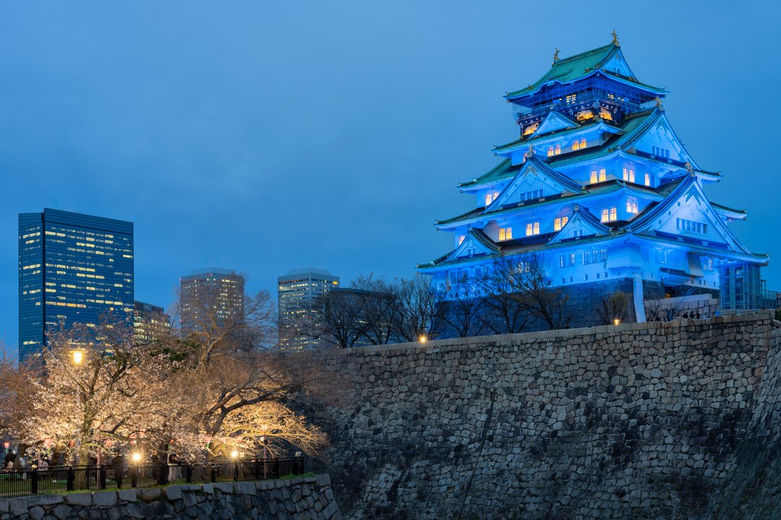
Osaka Castle from Nishinomaru Garden.
Namba and Dotonbori
Namba (Google Maps) is a district famous for shopping and entertainment, and one of the most popular areas in Osaka. Dotonbori (Google Maps) is the liveliest area along the canal, famous for bars, bright signs and restaurants. I recommend walking around in the evening and also stopping by Hozen-ji Temple (Google Maps), which is located in the heart of the district. Kuromon Ichiba Market (Google Maps) is also located here.
Shinsekai
If you are looking for a less touristy but still fascinating neighbourhood to walk around in the evening, I recommend stopping by Shinsekai (Google Maps), which is very colourful and lively. It combines modern features, with bright and flashy signs, with traditional elements. I did not do it myself, but if you want, you can go up to the top of Tsutenkaku Tower (Google Maps), where there is an observation platform that should offer excellent views over the city.
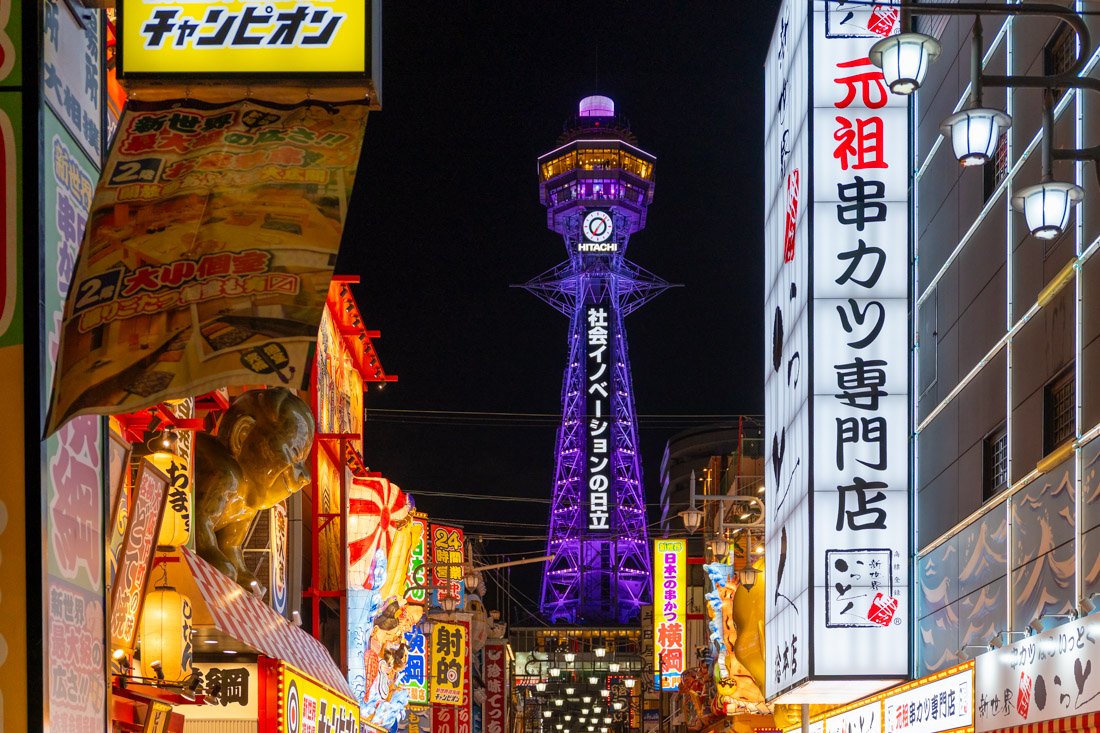
Tsutenkaku Tower.
Sumiyoshi Taisha
Sumiyoshi Taisha (Google Maps) is a beautiful shrine surrounded by greenery that almost makes you forget you are in Osaka. Here you will find the famous red bridge, where you can take a nice photo with its reflection in the water.
Minoh Park
Minoh Park (Google Maps), on the outskirts of Osaka, is one of the best places in the Kansai region to see the autumn foliage. Since I visited Osaka in spring, I did not go, but in autumn I think it could be an interesting destination. There are some temples such as Ryuan-ji (Google Maps), a waterfall (Google Maps) and a series of trails.
Finally, two other destinations that I think are worth mentioning are Universal Studios Japan (Google Maps) and Kaiyukan Aquarium (Google Maps).
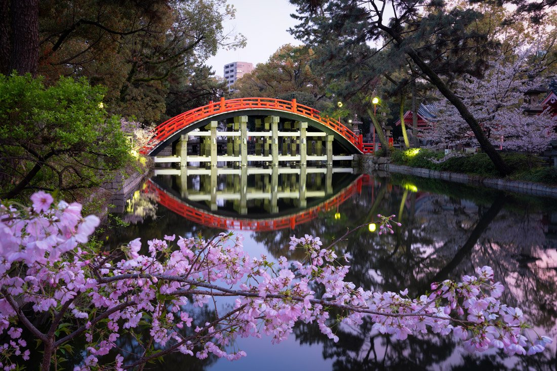
Sumiyoshi Taisha.
Where to Stay in Osaka?
I stayed at IMANO OSAKA SHINSAIBASHI HOSTEL, a good hostel in a good location, although I have to say the dormitories were a bit cramped. Overall, not bad.
How to Get to Osaka?
Osaka has extremely frequent train connections both north and south to all the main tourist destinations in the surrounding area. In addition, the city is served by Kansai International Airport (Google Maps). In the “How to Get Around Japan” section, you will find plenty of other useful information.
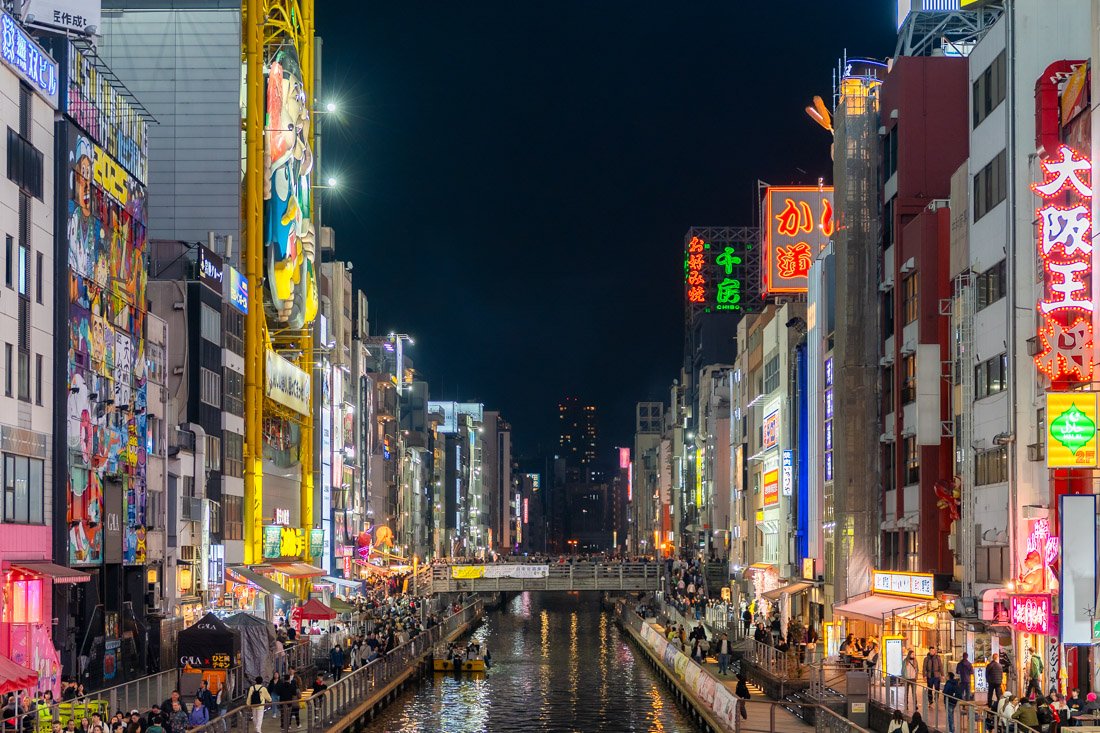
Dotonbori.
Kyoto
Located in the heart of the Kansai region, Kyoto was the capital of Japan and the imperial residence for more than a millennium, from 794 to 1868. Despite the conflicts and fires that repeatedly tested it over the centuries, the city managed to preserve a unique historical heritage, even escaping the bombings of the Second World War.
Today, Kyoto is a large modern city that proudly preserves its past: temples, shrines and traditional gardens make it one of the most fascinating and representative places in Japanese culture.
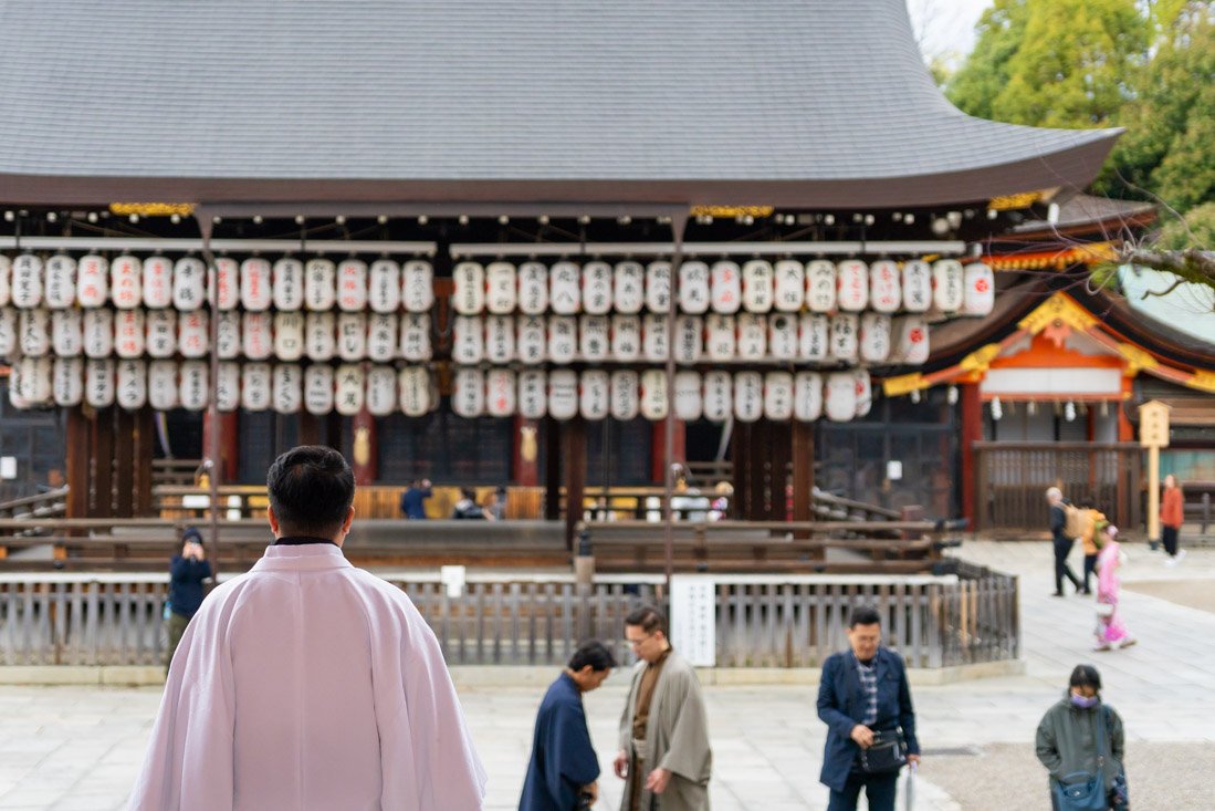
Yasaka Shrine.
What to Do and See in Kyoto
There is an impressive amount to see in Kyoto, so much so that it is easy to feel overwhelmed. Even after staying for almost a week, I left without visiting several temples that many people consider unmissable. This applies everywhere, but especially in Kyoto: trying to see “everything” is impossible. It is better to accept that and enjoy what you can fit in without stressing yourself out.
Furthermore, although the city is enchanting, perhaps because it was cherry blossom season, I often found it extremely crowded, sometimes beyond what I found tolerable. As essential as Kyoto is on any trip to Japan, I think it makes sense not to obsess over visiting every single temple and instead consider dedicating part of your time to less-visited destinations.
Actual Temples
There are more than 1,600 temples in the city. In keeping with what I just said, visiting them all is completely unrealistic, as is mentioning them one by one. For this reason, I will try to recommend those that, for one reason or another, are the most popular: I will give my opinion on the ones I visited and suggest a possible itinerary to follow. That said, as mentioned, the list is by no means complete. I know some people may disagree with me, but I think what follows is a good starting point for spending a few days in Kyoto.
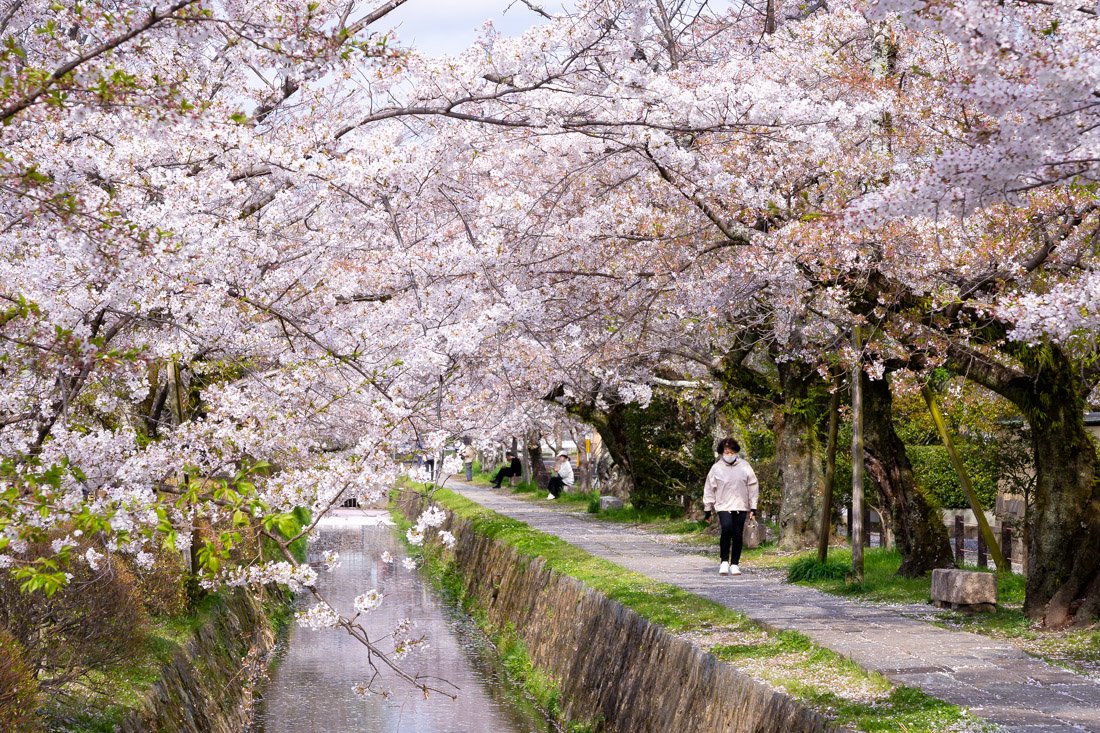
Philosopher’s Path.
I recommend starting with Ginkaku-ji (Google Maps), a 15th-century Zen temple famous for its simple aesthetic and elegant sand and moss gardens. Admission costs 1,000 yen. If you are on a limited budget, there are definitely more impressive temples to visit. That said, the temple combines well with the nearby Philosopher’s Path, or Tetsugaku no Michi (Google Maps), which is completely free and starts just a short walk from the temple. Particularly picturesque during cherry blossom season, as the entire route is lined with cherry trees, it is certainly a pleasant walk at any time of year. Also near the temple, there is a trail leading to the summit of Mount Daimonjiyama (All Trails). I did not do it, but it seems to be a fairly popular and not overly demanding hike that offers excellent views over the city.
Returning to the Philosopher’s Path, the route is fairly obvious and essentially just follows the canal, but I recommend making a small detour to Hōnenin Temple (Google Maps), which is free to enter. From here, continue towards the southern end of the route (Google Maps). Not far away is Eikandō Zenrinji Temple (Google Maps), which, at least in terms of size, is perhaps one of the largest I visited and gives you the feeling that there is actually something to see, unlike many others. That said, the garden is full of maple trees, which make the autumn foliage particularly impressive. Admission costs 1,000 yen. Not far away is yet another temple, Nanzen-ji (Google Maps). I skipped it because I had already seen enough temples for the day, so I will not comment. Admission costs 600 yen. I did, however, visit the nearby Keage Incline (Google Maps), a former railway track lined with cherry trees that make it particularly picturesque during blossom season.
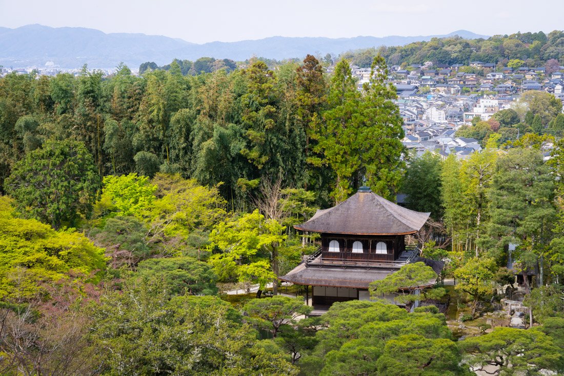
Ginkaku-ji Temple.
Continuing south, you reach the Higashiyama district (Google Maps), one of the city’s best-preserved historic neighbourhoods. I did not visit it, but you could start with Chionin Temple (Google Maps), famous for its imposing wooden gate and colossal 70-ton bronze bell. During the annual New Year’s ceremony (Joya no Kane), the bell is rung 108 times to drive away earthly desires for the new year. Not far away is Kodaiji Temple (Google Maps). I did not visit this one either, so I cannot comment, but it is renowned for its meticulously maintained gardens (particularly beautiful in autumn thanks to the many maple trees), lacquerware decorated with gold powder and its picturesque bamboo grove.
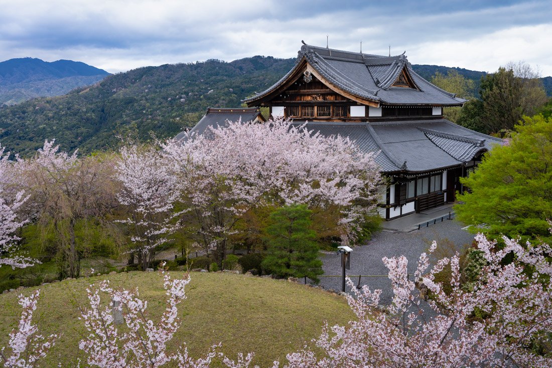
Shōgunzuka Mound.
From there, you can continue towards Maruyama Park (Google Maps), which blends directly into Yasaka Shrine (Google Maps), both of which are free to enter. The area is home to numerous street-food stalls and becomes particularly pleasant during cherry blossom season, when the entire park fills with flowering trees. If you feel like taking a walk, from the park you can hike up towards Shōgunzuka Mound (Google Maps), an ancient burial mound on top of the mountain, adjacent to a temple that offers two beautiful observation platforms with 360° views over the city and surrounding area. Technically, access requires payment, but when I was there the ticket office was closed and the gate was open, with plenty of people already inside. The trail starts at this point (Google Maps) and in any case is marked on Organic Maps. Not far away is also the iconic pagoda (Google Maps), used as the backdrop for the famous photo that I am sure you have seen more than a few times. It should be taken from this point (Google Maps). I strongly recommend coming at sunrise if you want a “clean” photo without crowds.
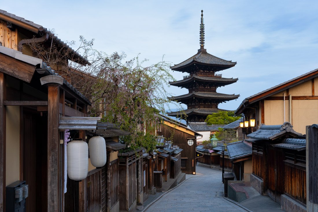
The iconic shot.
Kiyomizu Dera Temple (Google Maps) is one of the most famous temples in the city, as well as in Japan. It is best known for its wooden stage projecting from the main hall, which offers a beautiful view over the many cherry and maple trees below, exploding into a sea of colour in spring and autumn, as well as the city of Kyoto in the distance. I recommend coming in the late afternoon and staying until closing time so you can see the sunset. There will be a million other people, but I think it is worth it. Admission costs 600 yen.
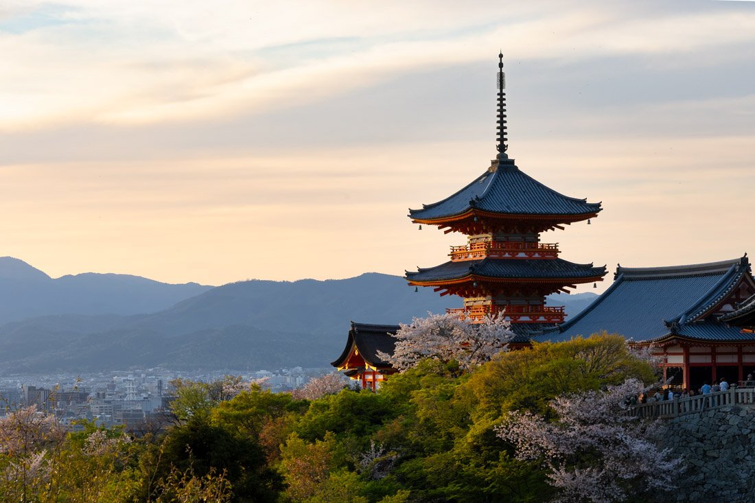
Kiyomizu Dera Temple.
To conclude this section dedicated to the Higashiyama district, I did not visit it, but you could consider visiting Kenninji Temple (Google Maps). Founded in 1202, it is Kyoto’s oldest Zen temple, best known for the “two dragons”, a huge ink-on-paper mural covering the entire ceiling. Although it looks ancient, it was painted in 2002 to commemorate the temple’s 800th anniversary. Finally, in the far south of Higashiyama are Tōfuku-ji (Google Maps) and Komyo-in (Google Maps), both particularly recommended during the autumn season.
The temples mentioned so far are all relatively close to one another or at least not too far from the centre, but of course there are plenty of other options. I visited To-ji (Google Maps), which during cherry blossom season is open in the evening and fully illuminated to create a unique spectacle. Of course, do not expect to be there alone. Admission costs 1,000 yen for the occasion.
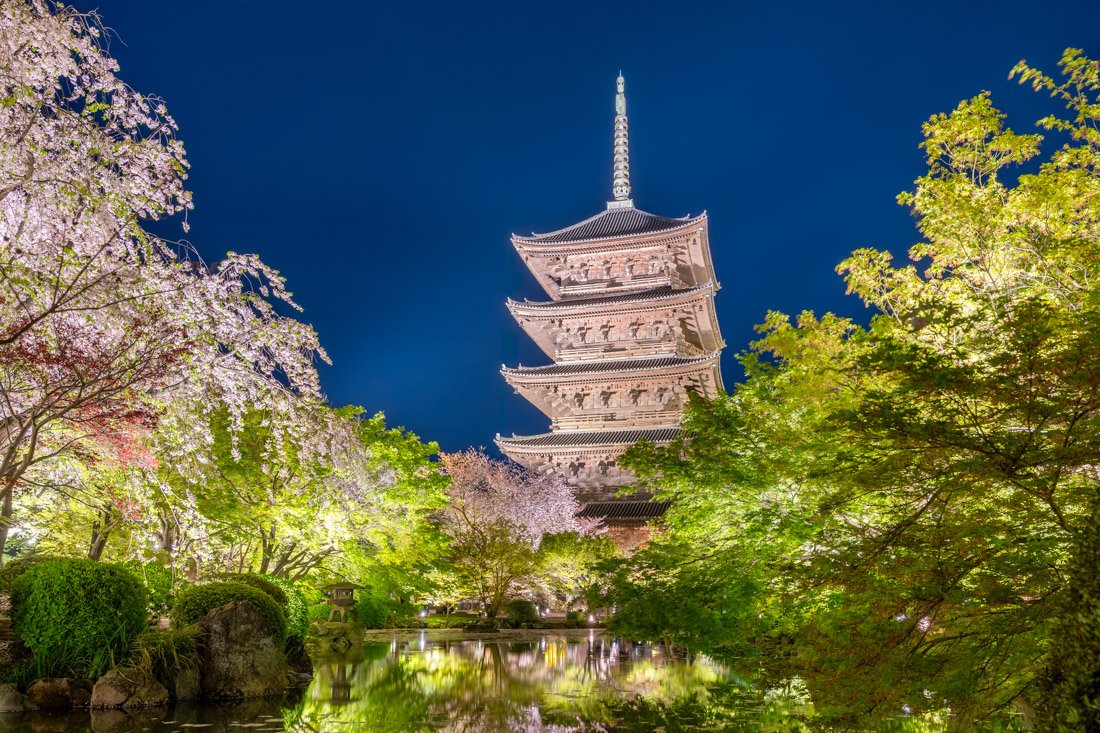
To-ji Temple.
Bishamondō Temple (Google Maps) is particularly beautiful in autumn thanks to the maple foliage. Admission costs 500 yen and gives access to some rooms containing artefacts related to the history of the monastery; honestly, though, I do not think it is worth it. The gardens, on the other hand, can be visited completely free of charge, including the famous staircase that fills with leaves in autumn.
Daigo-ji (Google Maps) is where you will find Kyoto’s oldest five-storey pagoda (Google Maps). Admission costs a hefty 1,500 yen and gives access to three separate areas: the pagoda area, the gardens and the temple. Everything is nice, but a little too expensive for my taste.
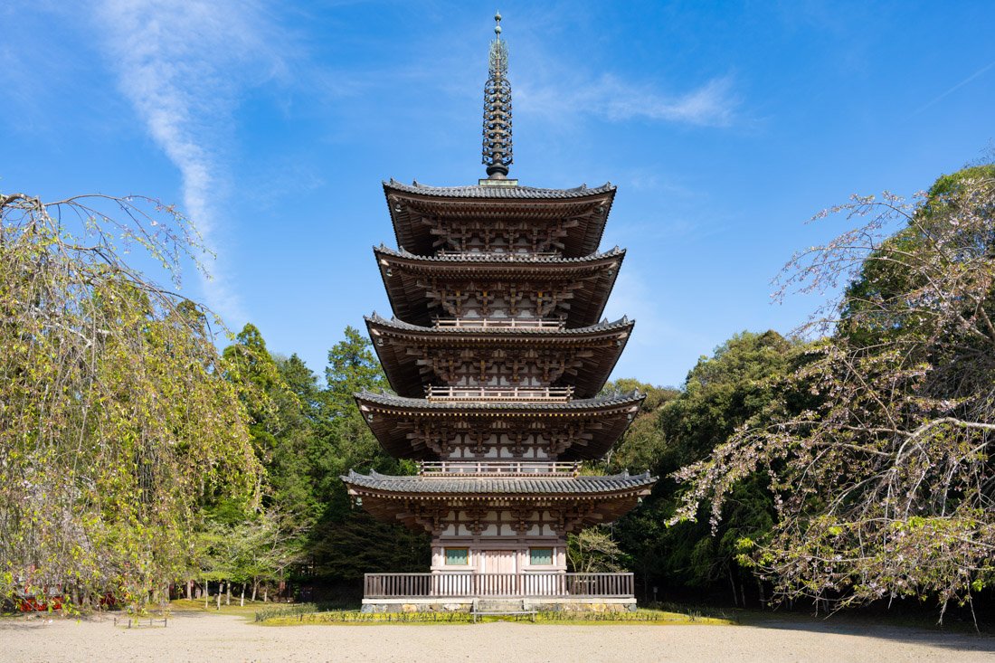
Daigo-ji Pagoda.
Kinkakuji (Golden Pavilion) (Google Maps) is a Zen temple in northern Kyoto completely covered in gold leaf. Without a doubt one of the most famous, iconic and crowded in Japan. I decided not to visit it, preferring to do something else, but if you decide to go early in the morning, the situation is probably not too bad. Nearby, you could also visit Hojo Teien (Google Maps), famous for its “rock garden”, and Ninna-ji (Google Maps). If you visit the city in autumn, you could also include the not-too-distant Kitano Tenmangu Momiji-en (Google Maps), with its iconic red bridge surrounded by maple trees.
To conclude this section dedicated to the city’s temples, if you are looking for a different experience, Saihōji (Kokedera) (Google Maps), also known as the Moss Temple, is one of Kyoto’s most exclusive and spiritual places. It is famous for its fairytale-like garden covered with more than 120 varieties of moss. Access is highly restricted: booking is mandatory and, before entering the gardens, visitors are invited to take part in a short Buddhist ritual (such as copying sutras), ensuring an intimate experience away from the crowds. If this interests you, this is the official website where you can book. Admission costs 4,000 yen.
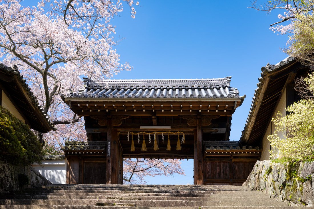
Bishamondō Temple.
Fushimi Inari-Taisha Shrine
Fushimi Inari-taisha Shrine (Google Maps) is probably my favourite place in the city. It is famous for its hundreds of vermilion torii gates, which lead along a network of trails all the way to the summit of Mount Inari (Google Maps).
Here too, I recommend going as early as possible, ideally at sunrise if you want to avoid the crowds. By around seven in the morning, when I was coming down, people were already heading up in droves. In any case, most people only do the first section (Google Maps), then turn around and go back. I therefore strongly recommend continuing all the way to the summit: there are plenty of beautiful spots and, above all, far fewer people.
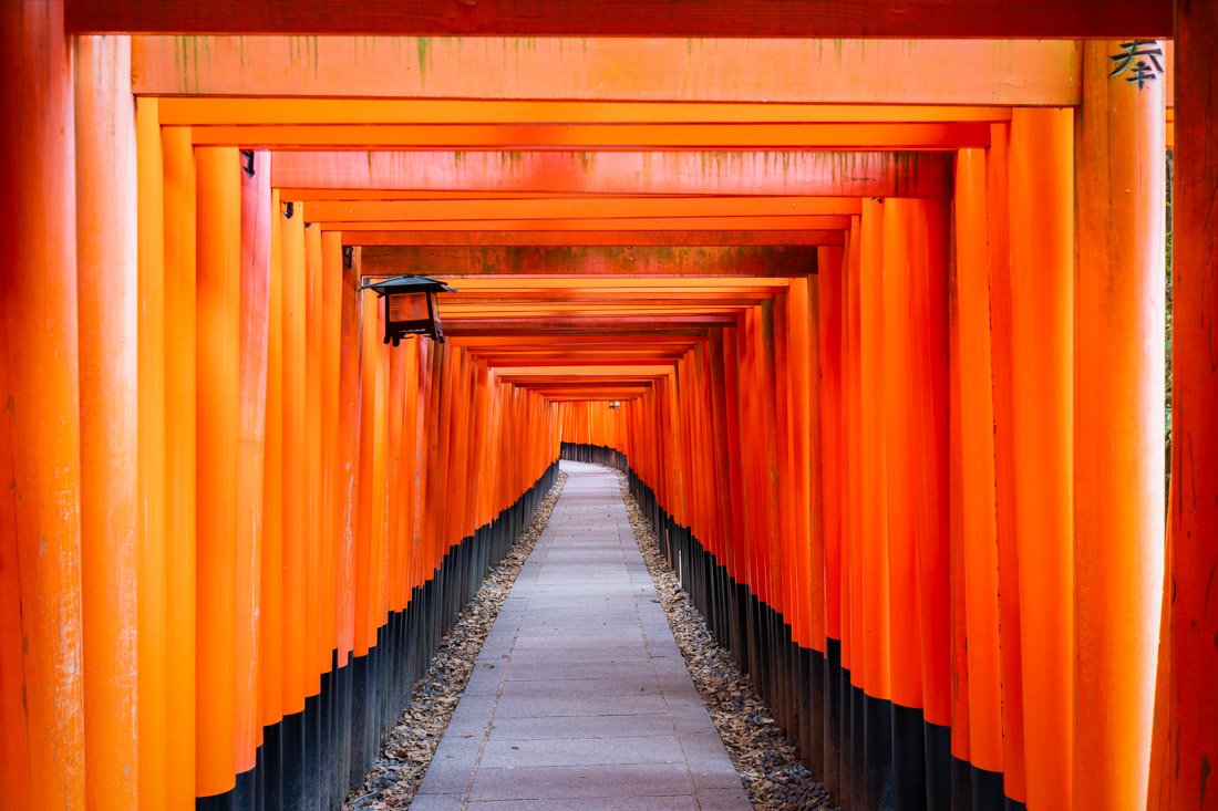
Fushimi Inari-Taisha Shrine.
Arashiyama Bamboo Forest
The iconic bamboo forest (Google Maps) can be both fascinating and disappointing; it all depends on the time you visit and what you expect. Personally, I did not find it that exceptional: unless you are into photography and absolutely want the iconic shot, you could even consider skipping it altogether.
That said, especially during high season, if you want to enjoy it peacefully without the crowds, once again I strongly recommend coming at sunrise. In particular, I recommend taking the first train to this station (Google Maps). It is slightly farther away than this station (Google Maps), but the first train of the morning arrives about 20 minutes earlier. It is not much, but it is enough to get 10–15 minutes of peace. I went back to bed afterwards, but if you decide to visit the area during the day, you could combine the visit with Sogenchi Teien Gardens (Google Maps), a boat ride along the gorge (Google Maps), nearby Daikaku-ji Temple (Google Maps), Adashino Nenbutsuji Temple (Google Maps), which has a bamboo forest very similar to Arashiyama and is therefore often recommended to those who want to avoid the crowds, and finally Otagi Nenbutsuji Temple (Google Maps), famous for its more than 1,200 stone heads.
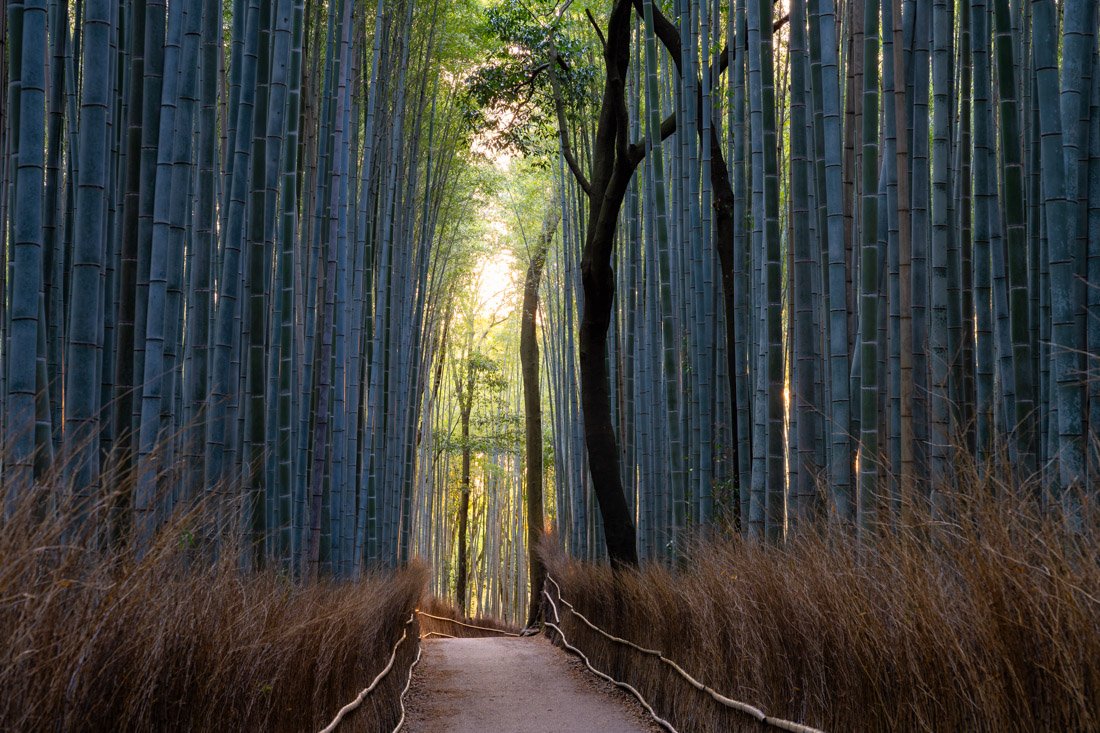
Arashiyama Bamboo Forest.
Imperial Palace
Kyoto is home to one of Japan’s two imperial palaces (the other is in Tokyo). Although the area open to visitors is limited, I still think it is worth visiting. Admission is completely free. The public entrance is located here (Google Maps). I also recommend downloading the official app, which contains an audio guide. Bring headphones! If you have not yet had enough of temples, Shokoku-ji (Google Maps) is located nearby, and if you want, you could also visit Nijō-jō Castle (Google Maps). I did not visit either, so I cannot comment.
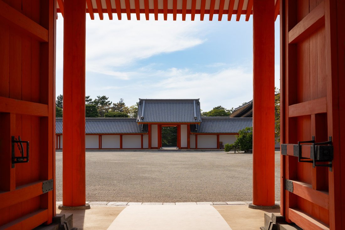
Imperial Palace.
Kyoto Castle
The castle itself (Google Maps) is closed to the public, but access to the park is allowed and completely free. When I visited, there were very few other people, so I think it is an excellent choice for anyone who wants to escape the crowds of central Kyoto and enjoy some peace and quiet. If you decide to go, I recommend taking the train to Momoyama-Minamiguchi Station (Google Maps) so that you can climb this imposing staircase (Google Maps).
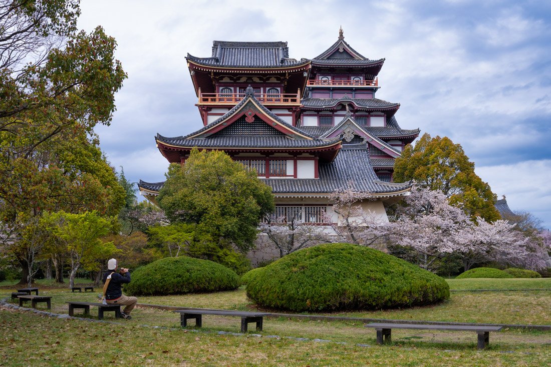
Kyoto Castle.
Kyoto Railway Museum
The Kyoto Railway Museum (Google Maps) is one of Japan’s three major railway museums, along with the one in Saitama (just outside Tokyo) and the one in Nagoya. I visited the latter, preferring to do something else in Kyoto, but depending on your itinerary and interests, I am sure it could be a very interesting visit.
Where to Stay in Kyoto?
Sauna & Capsule Hostel Rumor Plaza: highly recommended. A genuinely luxurious experience at a modest price, as long as you do not mind sleeping in a capsule. The property also has a separate wellness area with a sauna, massages and a Japanese-style public bath: very well maintained, clean and pleasant. The staff are friendly and the buffet breakfast is generous and delicious. There is really nothing that would stop me from recommending it, but unfortunately it is for men only. Central location.
How to Get to Kyoto?
Kyoto has extremely frequent train connections both north and south to all the main tourist destinations in the surrounding area. In the “How to Get Around Japan” section, you will find plenty of other useful information.
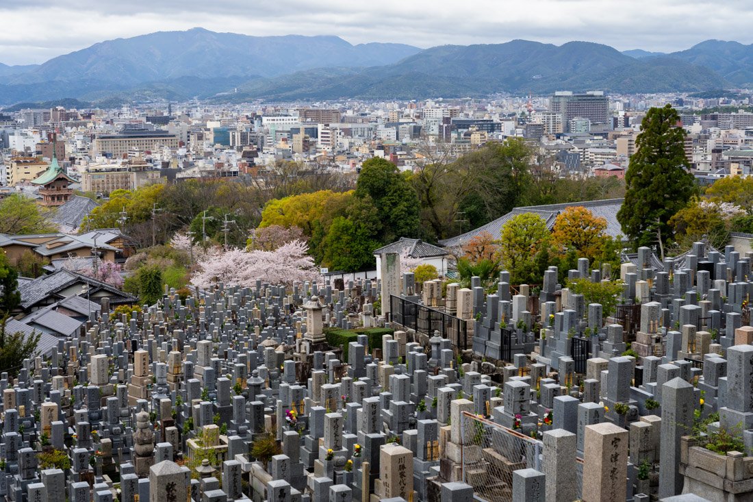
Kyoto.
Nara
Nara was Japan’s first permanent capital (710–794), with the imperial court established at Heijō-kyō (apparently there is not much to see), marking the end of the tradition of moving the seat of power with each new ruler. Today it is famous for its historic temples, large parks, and iconic free-roaming deer, considered divine messengers.
What to Do and See in Nara
Nara is quite compact and, at least as far as the main attractions are concerned, it can be visited as a day trip without necessarily spending the night, using Kyoto or Osaka as a base instead. However, if you have the time, I think it is worth spending a couple of days there and using Nara as a base to explore other destinations around the city.
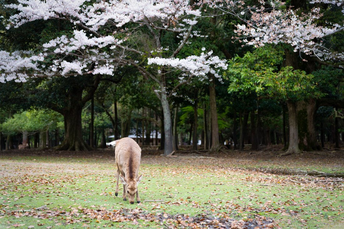
Nara Park.
Central Nara
I recommend starting your visit at Yoshikien Garden (Google Maps). Admission is completely free. I did not visit it, but an alternative is the nearby Isuien Garden (Google Maps), which charges admission, and more than a few reviews seem to suggest that it is only worth visiting the free one.
From the gardens, head towards Todaiji (Google Maps), one of the most famous and historically significant temples in Japan. The temple was built in 752 as the head temple of all provincial Buddhist temples in Japan and became so powerful that the capital was moved away from Nara in 784 to reduce the temple’s influence over government affairs. Admission costs 800 yen. The temple itself is very nice and the Buddha statue inside is undoubtedly impressive, but apart from that there is not a huge amount to see. If you decide to spend the night in Nara and want to avoid the crowds, I recommend coming as soon as it opens in the morning.
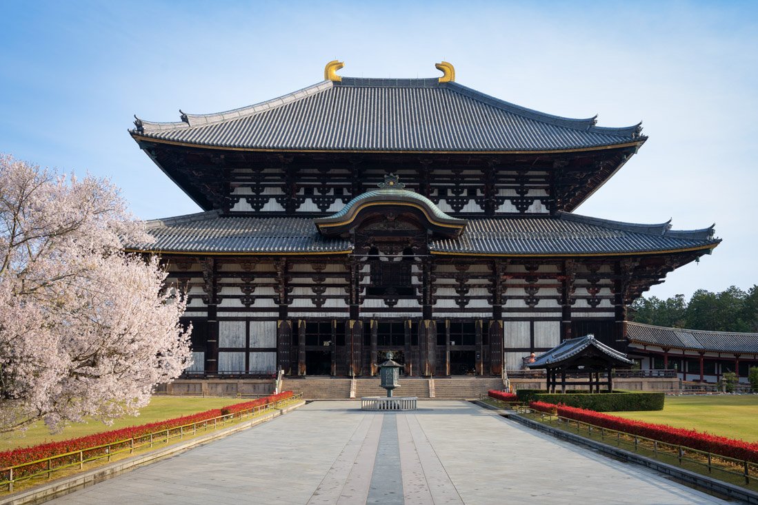
Todaiji Temple.
From here, you can enter Nara Park (Google Maps) itself, with its countless deer and cherry blossoms (season permitting). Ukimido Pavilion (Google Maps), surrounded by cherry trees, can be particularly picturesque. Another place you could visit is the International Forum (Google Maps). Although it is nothing exceptional, the garden at the back (Google Maps) is a very peaceful place for a walk, and admission is free.
Finally, visit Kasugataisha Shrine (Google Maps), which is located at the end of the park, making it a nice way to finish your visit to Nara. There are lots of lanterns that make it really distinctive and very pretty. Admission to the “special” area costs 500 yen. Honestly, you can simply have a look from the outside.
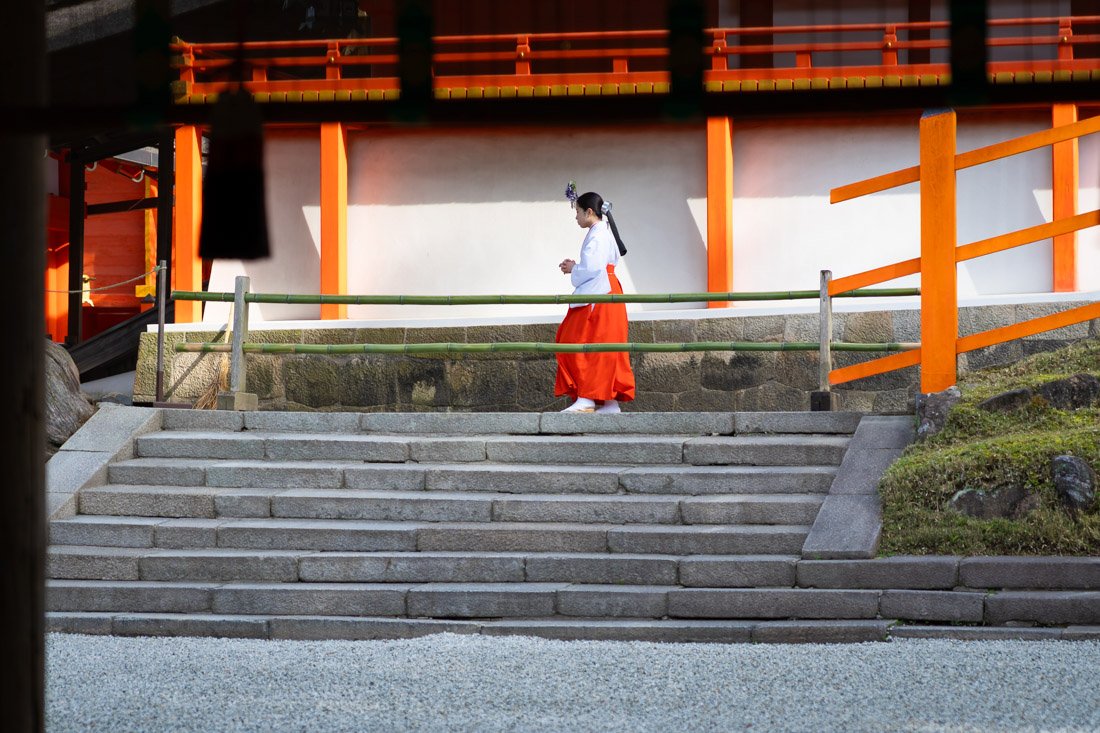
Kasugataisha Shrine.
Temples Outside the City
Just outside the main tourist area, there are at least two other noteworthy temples. The first is Yakushiji (Google Maps). Admission costs 1,000 yen. It may not be much, but if you are on a tight budget, you would be better off spending your money elsewhere. That said, the complex is nice and much less crowded than central Nara.
Not far away is Toshodai-ji Temple (Google Maps). I did not visit this one, so I cannot comment, but you could easily walk from one temple to the other and combine the two visits. Admission costs 1,000 yen.
Hōryū-ji (Google Maps) is one of the oldest temples in the country, as well as the oldest surviving wooden building in the world, built using joints without nails. I did not visit this one either, but I imagine it could be an interesting visit. Admission costs 2,000 yen.
I did, however, visit Hase-dera Temple (Google Maps), a beautiful complex that is easy to reach thanks to the nearby train station (Google Maps). Admission costs 500 yen. The visit can be combined with the Yamanobe-no-michi Trail, which I discuss below.
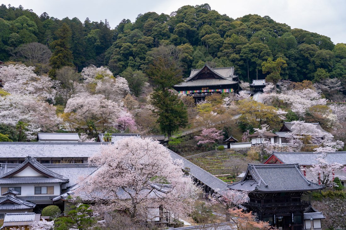
Hase-dera Temple.
Murō-ji Temple (Google Maps) is about an hour from Hase-dera. I did not visit it due to lack of time, but it is known for its peaceful woodland setting and ancient wooden buildings. Founded in the 8th century, it is often called the “Kōyasan for women” because historically it allowed female worshippers to enter at a time when other sacred sites did not.
Especially if you have a rental car, you could consider Tanzan Jinja (Google Maps) and Tsubosaka Dera Temple (Google Maps), the latter being the temple where the giant Buddha statue surrounded by cherry trees is located. I did not visit either of them, but a friend recommended both.
Finally, there is Okuno-in (Google Maps), one of the largest cemeteries in Japan, with over 200,000 graves and lanterns lining a path about 2 km long. Unfortunately, I did not visit this one either, but it seems like a truly fascinating place.
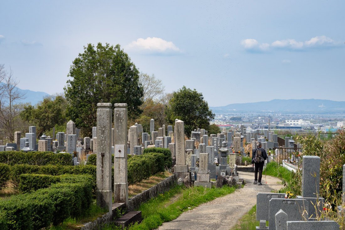
The Yamanobe-no-michi Trail.
Yamanobe-no-michi Trail
The Yamanobe-no-michi Trail is considered the oldest road in Japan and is now a fascinating hike through the rural landscape of the Nara countryside. With temples, cherry blossoms, rice fields, and no other tourists, it was one of the best experiences of my trip to Japan. From station (Google Maps) to station (Google Maps), it is about 15 km with no major elevation gain, so it is accessible to many people. You can find the GPS track on this page (All Trails). It took me just under five hours from station to station, with plenty of breaks and a packed lunch, but there are several places along the route where you can get something to eat, such as Cafe WaWa Tenri Google Maps), Cafe & Culture Tea House (Google Maps), Yamanobenomichi hana mori (Google Maps), etc. At the end of the route, there is a memorial (Google Maps) marking the symbolic site of the arrival of Buddhism in Japan in the 6th century, an event that profoundly transformed the country’s culture and religion. There is a beautiful avenue full of cherry trees illuminated by lanterns in the evening, so you could arrange to arrive in the late afternoon, or visit Hase-dera Temple (Google Maps) as I did and stop there on the way back.
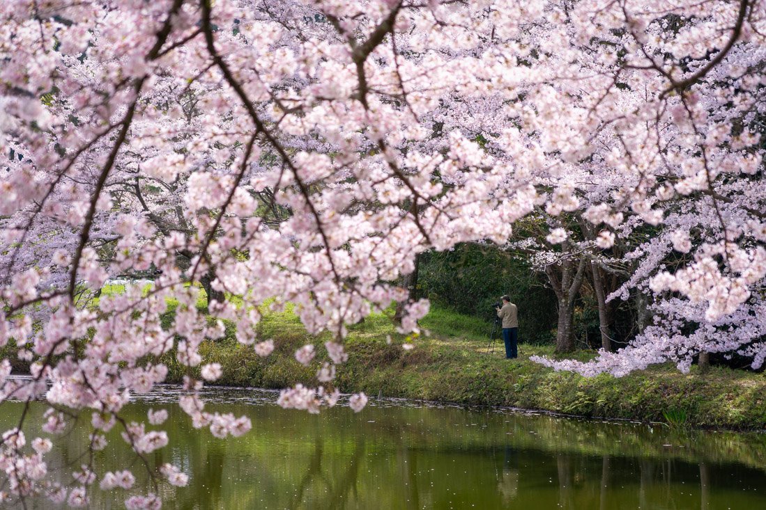 The Yamanobe-no-michi Trail.
Yoshino
Yoshino, in Nara Prefecture, is a mountain destination famous for its more than 30,000 cherry trees, which transform the landscape into a unique spectacle in spring. It goes without saying that the best time to visit Yoshino, as well as the busiest, is during cherry blossom season. I visited on a weekend and there were huge numbers of people, but I still think it is worth it. I recommend coming in the afternoon and staying until sunset, when the cherry trees in the valley, hit by the golden light, create a surreal landscape.
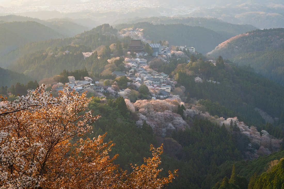
Yoshino.
From Yoshino Station (Google Maps), I recommend walking up, but there is also a bus that, from what I understand, takes you as far as this point (Google Maps), as well as a very short cable car (Google Maps) that covers the first section of the climb (apparently the oldest in the country). Be aware that during cherry blossom season, the queue for the bus is endless. Whatever you choose, I recommend making your way up to Hanayagura Observatory (Google Maps). There is quite a bit of uphill walking, but even at a very relaxed pace, it should not take you more than two hours from the station. Along the way, you could stop at Kinpusen-ji Temple (Google Maps). If you do not feel like climbing all the way to the actual observatory, there are other beautiful views along the road.
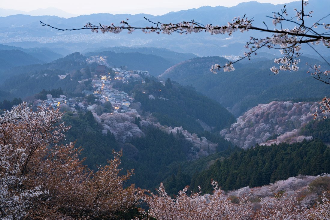
Yoshino.
Where to Stay in Nara?
I stayed at Nara Deer Hostel, which has an excellent location not far from the train station and the main tourist area. Overall, I recommend it.
How to Get to Nara?
Nara has extremely frequent train connections both to Kyoto to the north and Osaka to the west. About one hour in either case. In the “How to Get Around Japan” section, you will find plenty of other useful information.
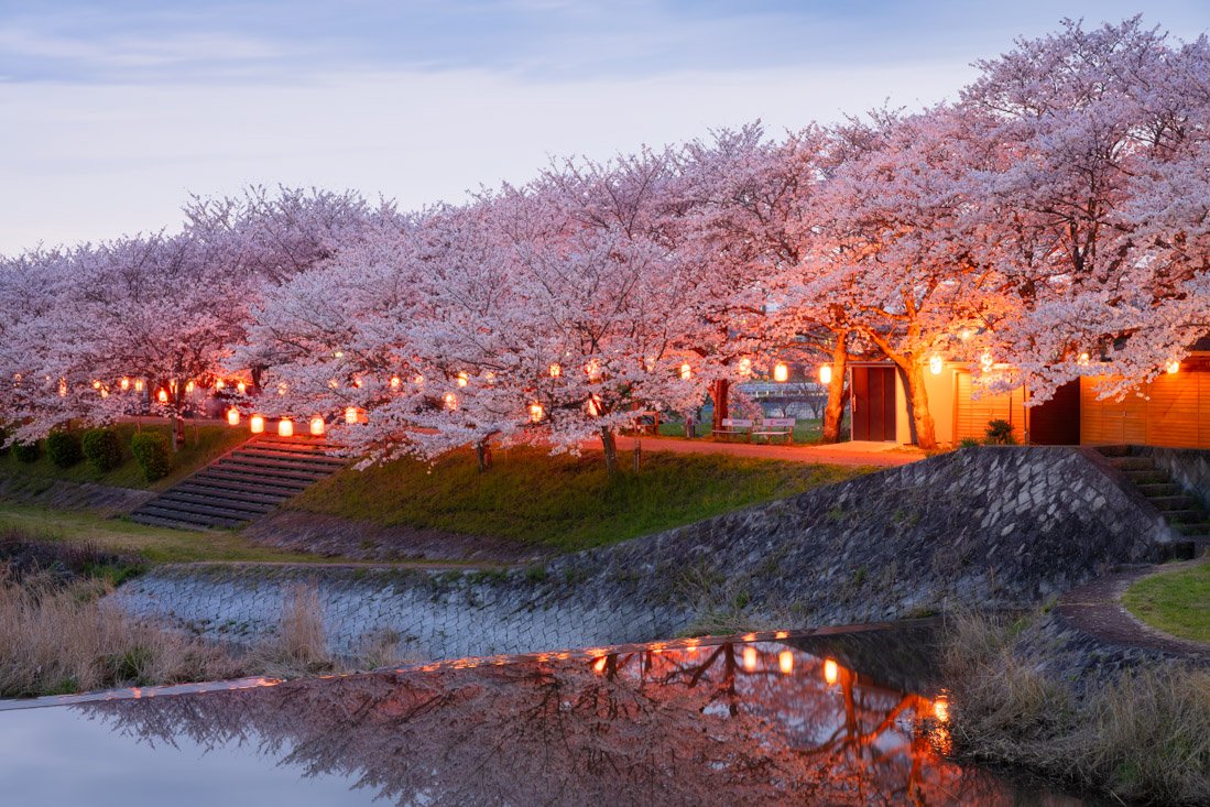
Cherry-tree-lined avenue at the end of the Yamanobe-no-michi Trail.
Kumano Kodo
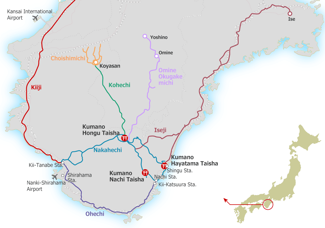
Kumano Kodo is a network of ancient pilgrimage trails located on the Kii Peninsula (Google Maps), used for over a thousand years to reach the three great sacred shrines of Kumano. The routes pass through cedar forests, mountain passes, and small rural villages. Historically, they were spiritual routes travelled by emperors, monks, and pilgrims. Today, together with the Camino de Santiago, they are one of the few sites in the world recognised as a UNESCO World Heritage Site for their living pilgrimage tradition.
It is a pleasant walk as long as you have the right expectations. If you are expecting a trail with breathtaking alpine scenery, you may be very disappointed. If, on the other hand, you want a mostly cultural experience combined with a good amount of physical exercise, then the Kumano Kodo becomes an interesting option.
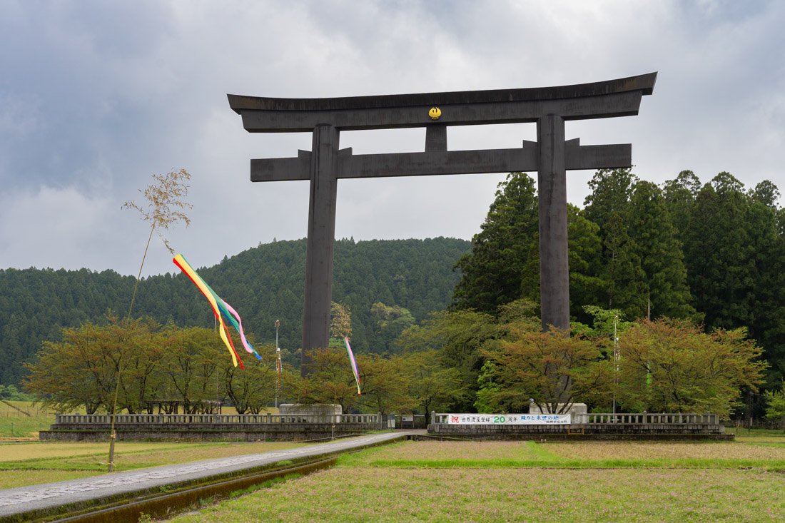
Kumano Kodo.
As mentioned, there are several trails (map), but even within the main routes there are possible variations, shortcuts, etc. With that said, the most popular route is the Nakahechi, approximately 70–100 km long and normally completed in 4–6 days, depending on the starting point.
Another important aspect to consider is accommodation. Although there are several guesthouses along the route, the trail has become relatively popular and during the high season (spring and autumn), the limited number of beds are booked months in advance. I tried to make some bookings towards the end of March and many of the guesthouses had no availability until May! I ended up adopting a hybrid strategy: I skipped the first section, stayed along the trail where there is slightly more accommodation available, and took public transport at the end of the day to sleep somewhere else before returning to the trail the following morning. Technically, you could also camp.
To book guesthouses along the route, this is the main website. Most properties do not appear on other booking websites. The same website also offers complete packages including accommodation, meals, buses, luggage transfer, etc. If budget is not an issue, they are certainly an interesting option; for everyone else, I recommend the “hybrid” system. If you are only interested in luggage transfer, this is the link. That said, I did the entire route carrying my full backpack. If you travel light enough, you should not have any problems.
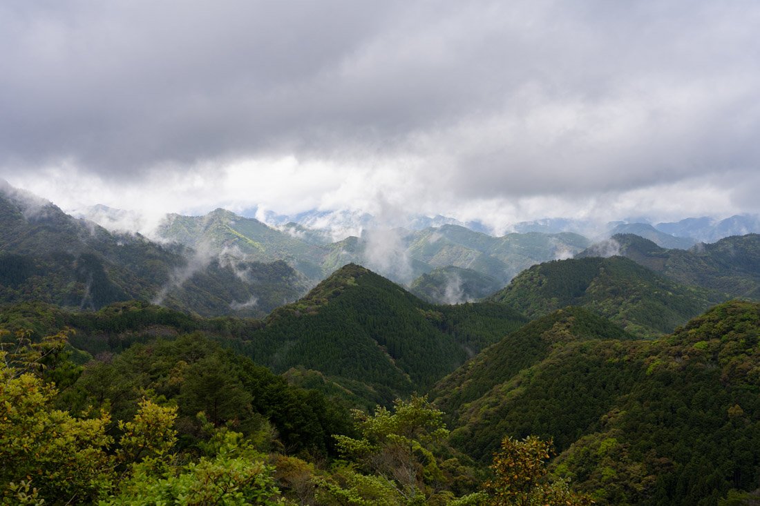
Kumano Kodo.
Kumano Kodo Nakahechi Itinerary
The main hub for anyone wanting to hike the Nakahechi route of the Kumano Kodo is the city of Tanabe, conveniently connected by train to the rest of the country (Google Maps). From Nara, it takes about 3–4 hours. Here, I stayed at Buddha Guest House, a very traditional guesthouse with a welcoming owner and a central location. Recommended.
On this page, you can find the “official route” divided into five sections ending at Kumano Nachi Taisha (where Nachi Falls is located), for a total of 70.7 km, starting from Takijiri, which can be reached by bus from Tanabe. Here you will find the official Kumano Kodo visitor centre (Google Maps), and if you are interested, you can pick up the booklet that allows you to collect stamps from the various temples/shrines certifying completion of the pilgrimage. This is the official website of the bus company operating in the region, but you could simply use Google Maps.
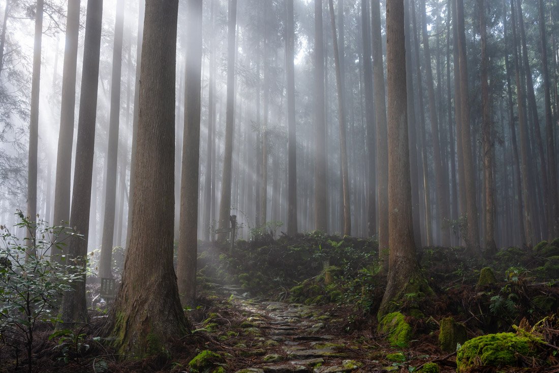
Kumano Kodo.
If you start in Takijiri, you need to spend the first night in Takahara or Nakahechicho Chikatsuyu. Since I could not find any guesthouse with availability, I decided to skip the first section and got off at this bus stop (Google Maps), from where I reached J-Hoppers Kumano Yunomine Guesthouse in about five hours. You can conveniently book it online, and it was one of my favourite places to stay during my entire trip to Japan. Although it is not officially on the main trail, it is a short detour that I recommend. That said, another option could be to continue straight to Hongu and stay at Kumano Backpackers. I also spent one night here and, the following day, walked to Koguchi (Google Maps), where in the afternoon I took the bus to Shingu, where I stayed at Hanare because all the guesthouses around the trail were fully booked. If you decide to do the same, consider booking two nights so that the following day you can return to Koguchi on the first bus of the day (leaving most of your luggage in Shingu), complete the trail by reaching Kumano Nachi Taisha (Google Maps), take the obligatory photos of the iconic pagoda (Google Maps), walk down to Nachi Falls (Google Maps), and then take the bus back to Shingu from this point (Google Maps).
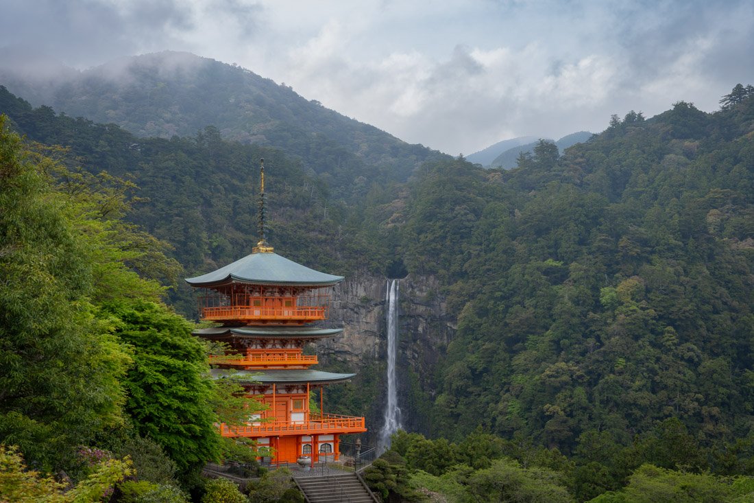
Nachi Falls.
Ise
Ise is not a particularly popular stop, but if, like me, you have time, want to get away from the classic tourist routes, and want to break up the journey towards Nagoya, then spending a night here makes perfect sense.
What to Do and See in Ise
Ise is home to one of the most important shrines in Japan, dedicated to Amaterasu, the mythical ancestor of the imperial family. Its importance also comes from its strong connection to the emperor and the tradition of rebuilding it every 20 years. The shrine is divided into two main complexes, Naikū (Google Maps) and Gekū (Google Maps). The former, and more important of the two, is located slightly outside the city, but there is a convenient shuttle connecting them.
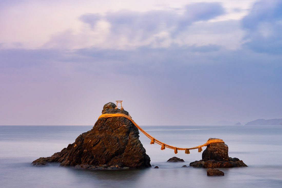
Futami Okitama Shrine.
Another interesting place to visit is Futami Okitama Shrine (Google Maps), famous for the Meoto Iwa, two sacred rocks joined by a rope, symbolising union and harmony in the Shinto tradition. Located by the sea, it is one of the most iconic places in the Ise area. You can simply take the train to Futamino-Ura Station (Google Maps). The seafront is nice and pleasant; I visited at sunset and there was practically no one around.
Where to Stay in Ise?
I stayed at FOLK FOLK Hostel, Cafe & Bar. Nothing particularly good or bad. If you are looking for a budget option, it is not bad at all.
How to Get to Ise?
Ise Station (Google Maps) has frequent connections both to Shingu to the south and Nagoya to the north.
In the “How to Get Around Japan” section, you will find plenty of other useful information.
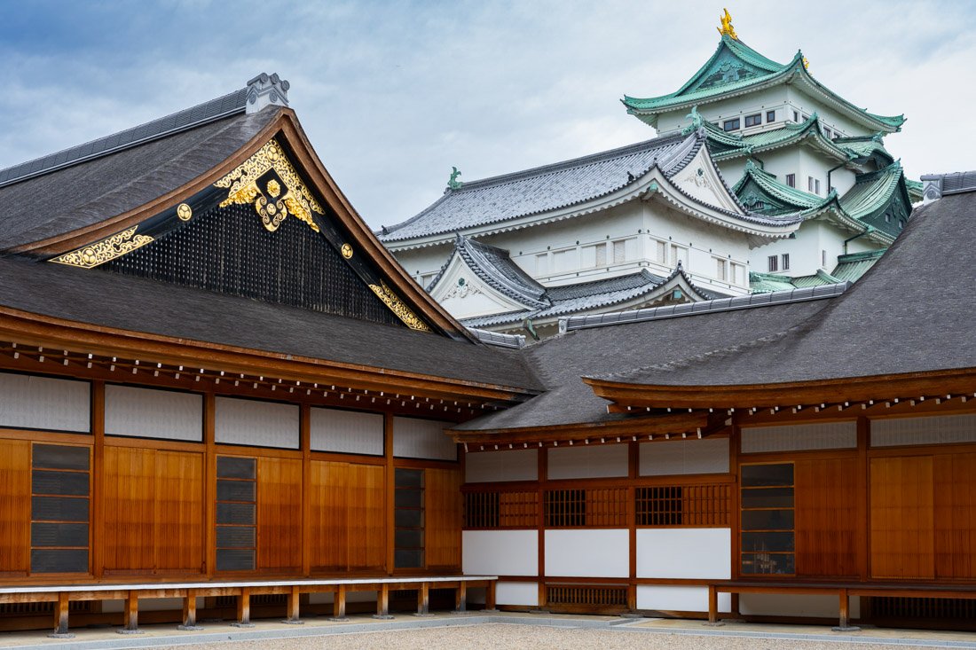
Nagoya Castle.
Nagoya
With more than two million inhabitants, Nagoya is the fourth most populous city in Japan after Tokyo, Yokohama, and Osaka. Unfortunately, much of the city, including most of its historic buildings, was destroyed by air raids in 1945.
What to Do and See in Nagoya
Nagoya is not a particularly touristy destination and, as just mentioned, there is not much historic architecture left to see, but it still offers more than a few interesting attractions depending on your interests.
Nagoya Castle
Nagoya Castle (Google Maps) is certainly not among the most impressive in the country and, as if that were not enough, the main keep is closed to the public until at least 2028 for restoration work. You can, however, visit the rest of the complex, including Honmaru Palace (Google Maps), which was recently restored and is a faithful reconstruction of a ceremonial complex from Japan’s feudal era, famous for its richly decorated interiors with paintings on sliding panels and extensive use of gold leaf. Admission costs 500 yen.
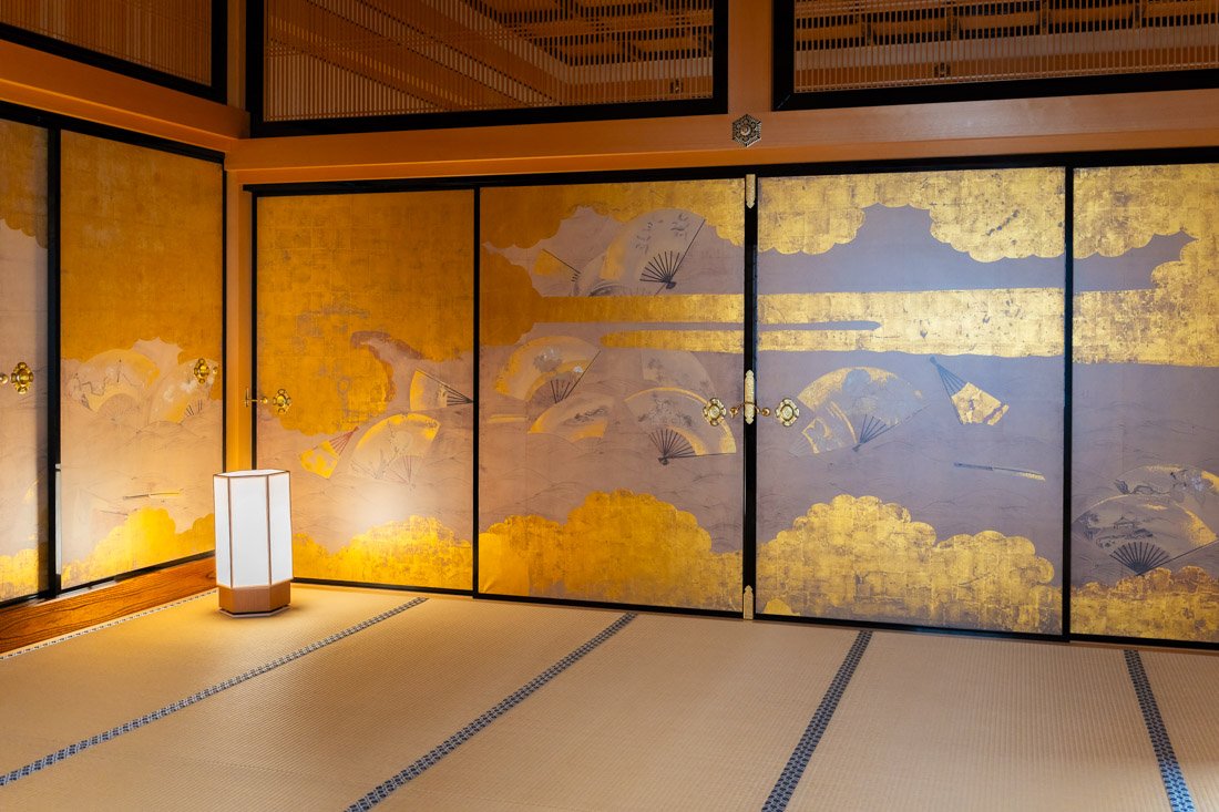
Paintings on sliding panels.
SCMAGLEV and Railway Park
Opened in 2011, the SCMAGLEV and Railway Park (Google Maps) is one of Japan’s main railway museums. The exhibition traces the evolution of high-speed rail in the country, with a rich collection of real trains: from historic steam locomotives to record-breaking experimental shinkansen and the latest magnetic levitation (maglev) trains. The ticket costs 1,000 yen and includes a free audio guide (it is better to bring your own headphones). Wi-Fi is also available. The museum offers Shinkansen driving simulators, numerous interactive areas designed for children, and a small cinema showing short documentaries. I found the visit interesting, especially considering the particularly rainy day on which I decided to go.
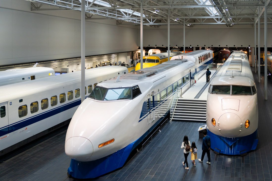
SCMAGLEV and Railway Park.
Toyota Commemorative Museum of Industry and Technology
The Toyota Commemorative Museum of Industry and Technology (Google Maps) is an interesting museum divided into two pavilions: one dedicated to the textile industry, which explains Toyota’s origins, and one dedicated to automobiles. Free guided tours in English are available at 14:00 for the textile pavilion and at 15:15 for the automobile pavilion (official website to check the times), with a maximum of 20 participants and no possibility of booking. I found the visit enjoyable; in particular, the guided tour allows you to better appreciate the exhibits. Admission costs 1,000 yen.
Toyota Auto Museum
The Toyota Automobile Museum (Google Maps) is another interesting Toyota museum, this time entirely dedicated to the automobile. Admission costs 1,200 yen and, by sending an email in advance, it is possible to book a free guided tour. The collection is truly impressive and ranges from some of the earliest models ever made to modern cars. The museum traces the global history of the automobile and car culture, with around 140 vehicles from Japan, the United States, and Europe, illustrating the evolution and spread of motorisation in different countries. The visit is enjoyable even for those who, like me, are not particularly passionate about cars.
Finally, Toyota also has a third museum, the Kaikan Museum (Google Maps), where the latest models and new technologies are presented to the public. I did not visit it personally, so I cannot give an opinion, but it is probably an interesting option to consider.
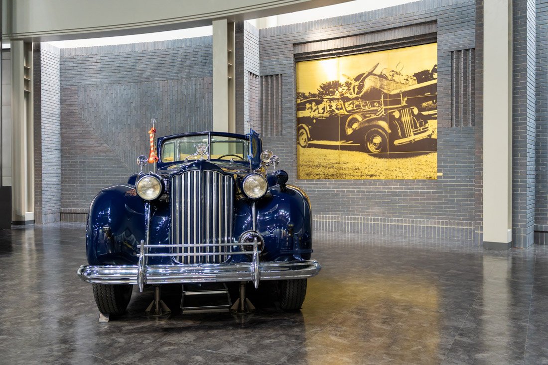
Toyota Automobile Museum.
Korankei Gorge
If you happen to visit Nagoya in autumn, you could consider a trip to Korankei Gorge (Google Maps). The entire valley is covered with maple trees that put on a particularly beautiful display during the autumn foliage season. Since I was in Nagoya in spring, I did not visit it, but it is certainly an excellent seasonal option.
Inuyama
I did not visit Inuyama either, but it was recommended to me by an American I met while visiting Nagoya Castle who has lived in Japan for many years. According to him, it is an ideal day trip using Nagoya as a base. One of the main attractions is Inuyama Castle (Google Maps). Here you can find an interesting article.
Kiso Valley
Finally, depending on your itinerary, it may make sense to visit the Kiso Valley from Nagoya. For various reasons, I preferred to include it as the next stop while using Matsumoto as a base, so I will discuss it later in the guide, but it remains an absolutely valid option to consider if you are in Nagoya.
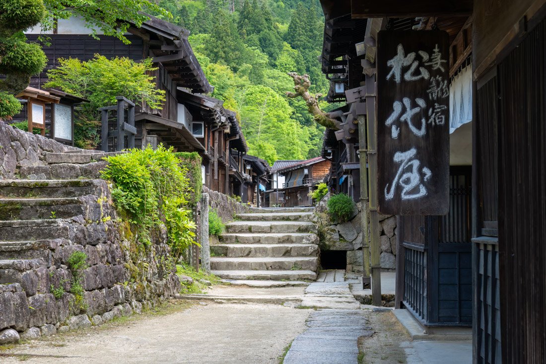
Kiso Valley.
Where to Stay in Nagoya?
I stayed at 9h nine hours Nagoya station, a nice, clean, and modern property. Recommended.
How to Get to Nagoya?
Nagoya has very frequent connections to Osaka, Kyoto, Nara, Ise, and Shingu to the south. If you are arriving from Osaka, Kyoto, or Nara and want to save money compared to the cost of the train, there are direct buses that you can book through Willer. To the north, there are frequent connections to Tokyo, of course. Again, if you want to save money, highway buses cost less than the train. Nagoya also has an international airport with several connections to the rest of the country and beyond (Google Maps). In the “How to Get Around Japan” section, you will find plenty of other useful information.
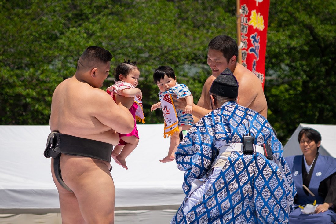
Sensō-ji Temple, Tokyo.
Planning your trip? If you still need travel insurance, you can find my guide to the best travel insurance here. Purchasing through the links in the guide supports this site at no additional cost to you.
Tokyo
Tokyo, the capital of Japan and the world’s most populous metropolitan area, with more than 37 million inhabitants, is practically a destination within a destination. You could easily spend a couple of weeks here, especially if you include popular excursions such as Nikko, Hakone, and Kamakura.
I spent ten nights there and left without managing to see everything I had planned. My advice, therefore, is the same as for Kyoto: trying to see “everything” is impossible. It is better to accept that and enjoy what you manage to do without stressing yourself out.
What to Do and See in Tokyo
For convenience, I will divide this section into geographical areas within Tokyo, in order to optimise travel and give a more logical sequence to what follows. This is, of course, an entirely personal division.
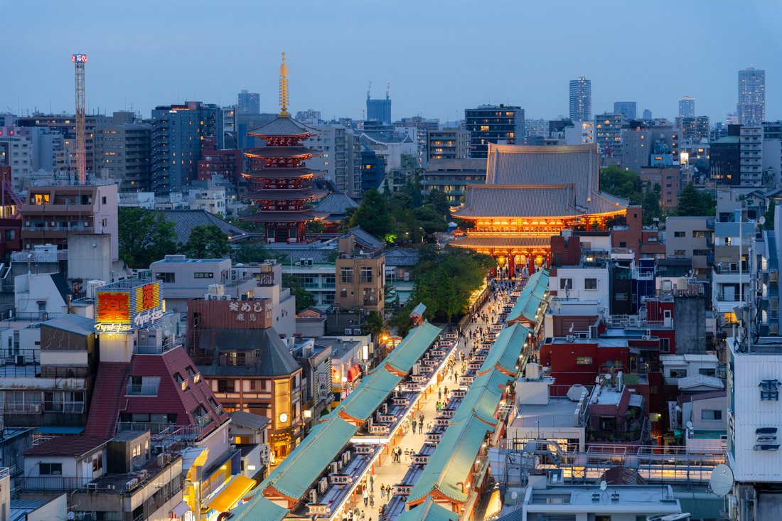
Sensō-ji Temple seen from the Information Centre.
Northern Tokyo
Broadly speaking, we are talking about the area around Ueno Station and Asakusa. I recommend starting with Ueno Park (Google Maps). There are several museums here that should cater to almost every taste. I only visited the Tokyo National Museum (Google Maps), which is the oldest and most important museum in Japan, with an enormous collection of art and artefacts telling the history and culture of the country. Admission costs 1,000 yen, and you can easily spend at least 2–3 hours there. Personally, I did not find it particularly interesting, but I had already been in Japan for over a month, so I had already seen quite a lot of artefacts, pieces of porcelain, swords, and the like. There is also a small shrine inside the park (Google Maps).
Once you have finished visiting Ueno Park, I recommend stopping by Ameyoko Market (Google Maps) and perhaps having lunch here. From here, you can head towards Asakusa. I did not visit it, but if I were to return to Tokyo, I would definitely stop by the Samurai Ninja Museum (Google Maps). Alternatively, go directly to the iconic Sensō-ji Temple (Google Maps); admission is free. I strongly recommend also entering the nearby Asakusa Culture Tourist Information Center (Google Maps). Again, admission is free, and from the top floor there are beautiful views both of the temple, which is particularly picturesque in the evening when illuminated, and of Tokyo Skytree (Google Maps).
The latter can certainly be an option for enjoying panoramic views over Tokyo in the evening, but there are at least a couple of completely free alternatives mentioned later in the guide. I recommend ending the day in Akihabara (Google Maps), Tokyo’s iconic district for otaku culture and electronics, famous for technology, anime, manga, and video game shops, as well as its characteristic maid cafés. During the day, depending on what you decide to visit or skip (perhaps you have no interest in museums), you could take a walk through Koishikawa Korakuen Gardens (Google Maps), one of Tokyo’s many typical gardens. Admission costs only 300 yen. Not far from the gardens is the Bunkyo City Office (Google Maps), which offers a completely free observation deck on the 25th floor. Closed at weekends.
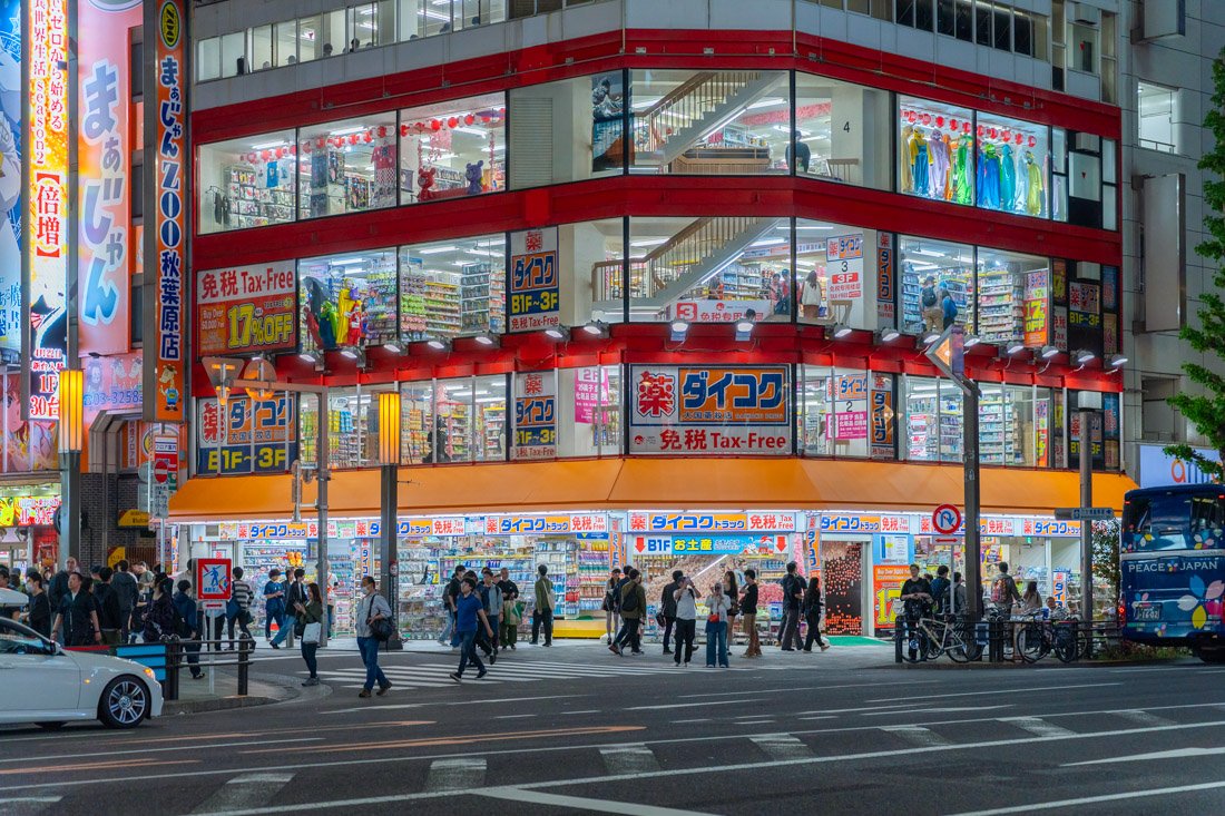
Akihabara.
Central Tokyo
We are talking about the area around Tokyo Central Station. Here, many people would recommend starting the day by visiting the infamous Tsukiji Fish Market (Google Maps), where many restaurants are open from 5:00 in the morning and serve extremely fresh fish. I encourage you to stop by, but personally I found it extremely crowded, touristy, and expensive. I much preferred Hamarikyu Gardens (Google Maps), which are located nearby, particularly the contrast with the adjacent skyscrapers. Admission costs 300 yen. From here, you could walk along Chuo-dori Avenue (Google Maps), which is also closed to traffic at weekends, heading towards the Tokyo International Forum (Google Maps). Even without considering its function as a venue for exhibitions, concerts, and conferences, the building is absolutely worth seeing. Admission is free, and the modern architecture, made of glass, steel, and large spaces, creates a bright and futuristic environment.
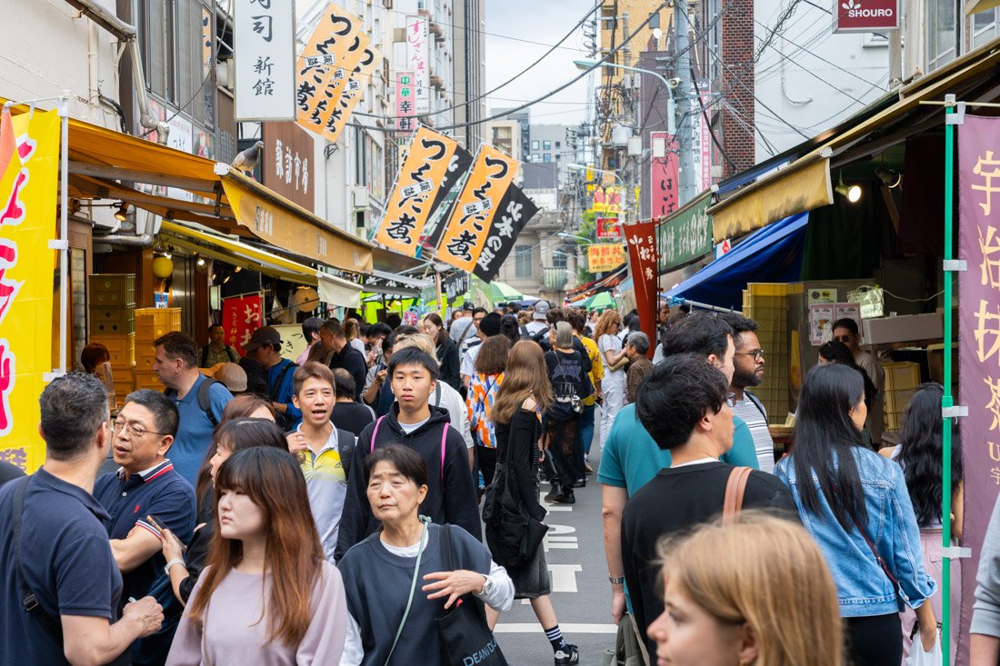
Tsukiji Fish Market.
Another possible short stop is Sukiyabashi Crossing (Google Maps), a pedestrian crossing almost as busy as Shibuya’s but less popular. The best views are from the GinzaNovo shopping centre (Google Maps). On the sixth floor, there is a lounge with decent views; alternatively, you can go up to the rooftop, where they understandably ask you to buy something. From here, continue towards the Imperial Palace (Google Maps). Here, you can mainly visit the Outer Gardens (Google Maps), which are the main part open to the public. I did not do it, so I cannot speak from personal experience, but if you book in advance, you can also join a guided tour that enters some inner areas of the complex, though not the palace building itself, which is always closed. Here you can find the official website. Once you have finished visiting the Imperial Palace, I recommend stopping by Hie Shrine (Google Maps), where there is a beautiful staircase lined with torii gates in the style of Fushimi Inari Taisha, albeit on a much smaller scale.
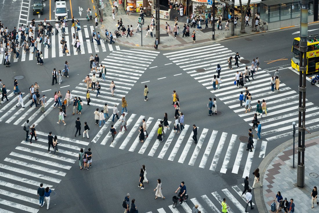
Sukiyabashi Crossing.
Western Tokyo
We are talking about the area around Shinjuku and Shibuya stations. I recommend starting in Shibuya, but you can easily follow the itinerary in reverse if you prefer to visit it in the evening. Shibuya is one of Tokyo’s most iconic districts, famous for its crowded pedestrian crossing, youthful energy, neon lights, and lively nightlife. If you want to see the famous crossing (Google Maps) from above, two completely free options are the corridor connecting Shibuya Station (Google Maps) to Shibuya Mark City (Google Maps) and the Shibuya Hikarie shopping centre (Google Maps), which has a free observation deck on the 11th floor (Google Maps). If it is very crowded, go down one floor: the view is almost identical, but there are far fewer people. If you do not mind spending 1,800 yen, there is a rooftop bar literally above the pedestrian crossing where admission also includes a drink (Google Maps) (official website). Another option is Starbucks on the other side of the street (Google Maps).
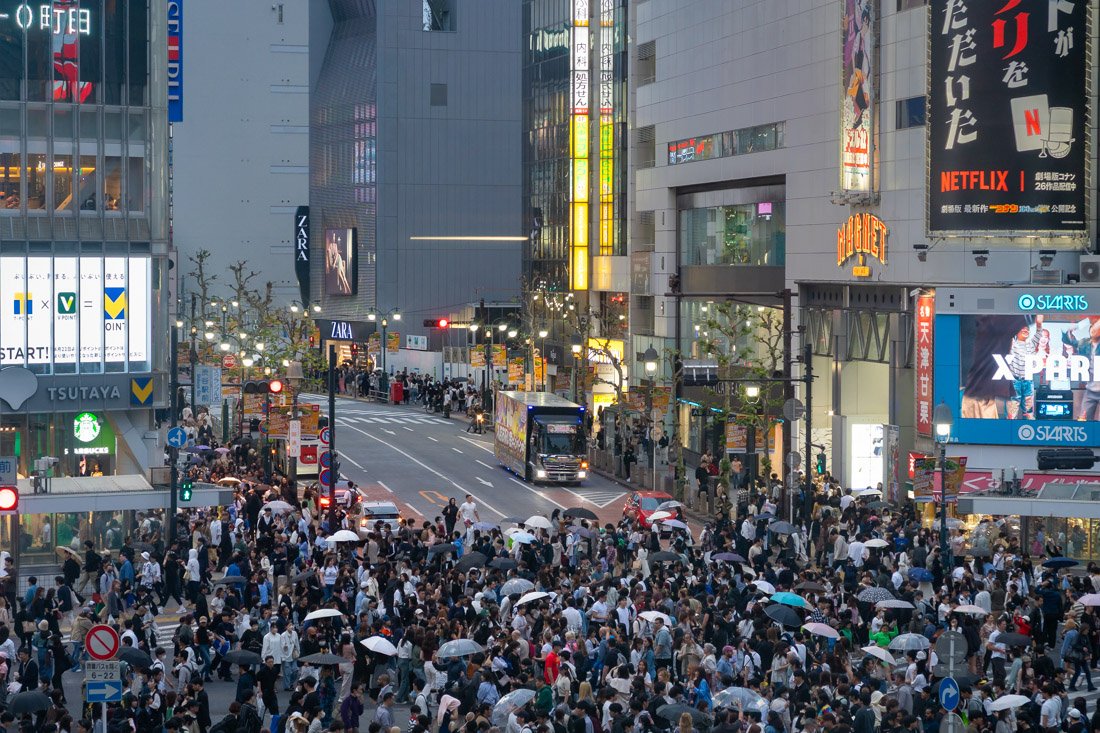
Shibuya Crossing.
After enjoying the atmosphere of Shibuya for a while, I recommend walking towards Meiji Jingu Shrine (Google Maps). If you feel like it, along the way you can stop at the Tokyu Plaza Omotesando shopping centre (Google Maps): here you will find the famous escalators covered in mirrors and a pleasant rooftop garden. Back to the shrine, admission is free, but if you want to visit the attached garden, you have to pay 500 yen. I did not enter the garden, but I believe it is a typical Japanese-style garden. I did, however, visit the nearby Shinjuku Gyoen National Garden (Google Maps). Admission is also 500 yen here, and there is a classic Japanese garden and a greenhouse with tropical plants. Nothing particularly good or bad, in my opinion.
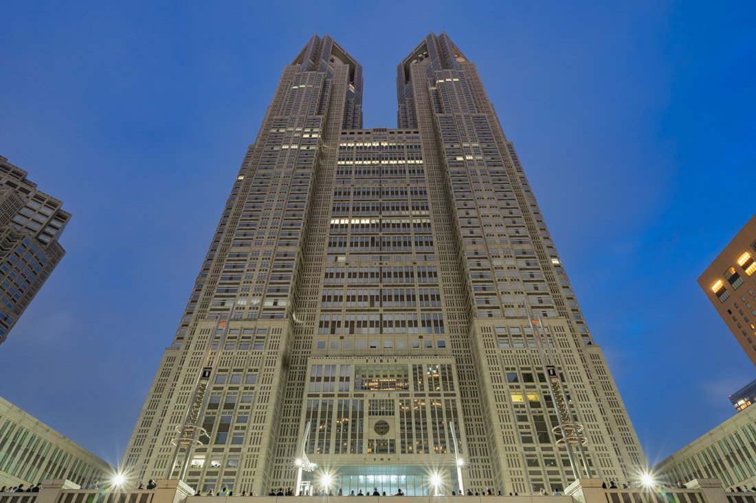
Tokyo Metropolitan Government Building.
Then continue towards the Tokyo Metropolitan Government Building (Google Maps), open only from Monday to Friday until 18:45, so plan accordingly. There is a completely free observation deck on the 45th floor offering beautiful views over the city and, weather permitting, even Mount Fuji in the distance. Once you have finished your visit, stop in the square in front of the building to watch a short film projected onto its façade. The show, called Tokyo Night & Light, is completely free and literally holds a World Record (which is why I recommend going to Shibuya in the morning and Shinjuku in the evening). This is the official website with the show schedule. To end the day, I recommend walking through the alleys of Omoide Yokocho (Google Maps), famous for its small izakaya and yakitori stalls, which offer a retro and authentic atmosphere reminiscent of post-war Tokyo.
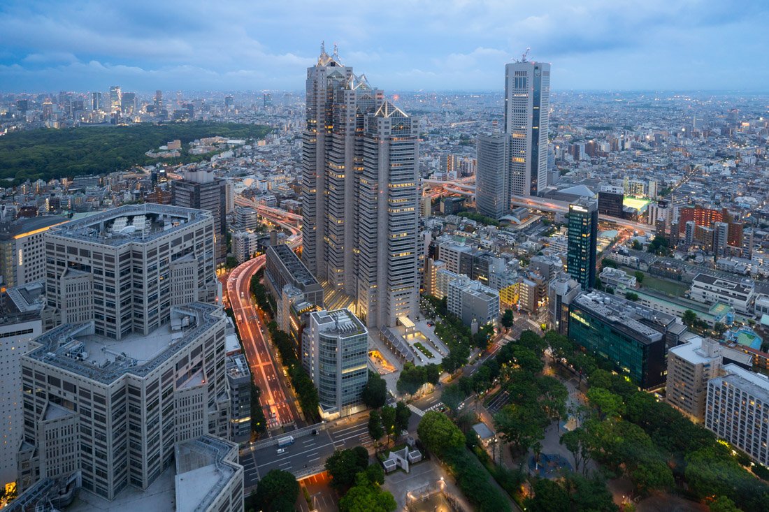
View from the Tokyo Metropolitan Government Building.
Southern Tokyo
I recommend starting the day with the iconic teamLab Planets (Google Maps), an immersive digital art museum where you walk barefoot through interactive installations of light, water, and mirrors. Admission is not cheap, but personally I think it is worth it. I recommend booking the first time slot of the morning to avoid the crowds as much as possible. Once you have finished your visit, you can stop by Fuji’s headquarters (Google Maps). The building itself is very interesting, and for 800 yen you can access the observation platform inside the giant sphere, which offers fantastic views of the city on the other side of the bay. Alternatively, you could simply walk along the waterfront, where there is a completely free observation platform (Google Maps).
TeamLab Planets.
From here, if you are interested, you could visit Sengakuji Temple (Google Maps), which houses the graves of the legendary 47 ronin (Google Maps) and a small museum. If you do not know the story, take a look at this video. It costs 300 yen for the graves and another 500 yen for the museum. Alternatively, go directly to Zojo-ji Temple (Google Maps), where admission is completely free. At the back there is also an interesting mausoleum (Google Maps). It is a nice temple and there is a beautiful contrast with Tokyo Tower (Google Maps) in the background. The latter, at 333 metres tall, is 3 metres taller than the structure it was modelled after, the Eiffel Tower. A symbol of Japan’s post-war rebirth as a major economic power, Tokyo Tower was the tallest structure in the country from its completion in 1958 until 2012, when it was surpassed by Tokyo Skytree. I did not go to the top, but of course it is an option; it costs 1,500 yen. The iconic photo with the stairs can be taken from this spot (Google Maps), which is essentially the entrance to the underground car park.
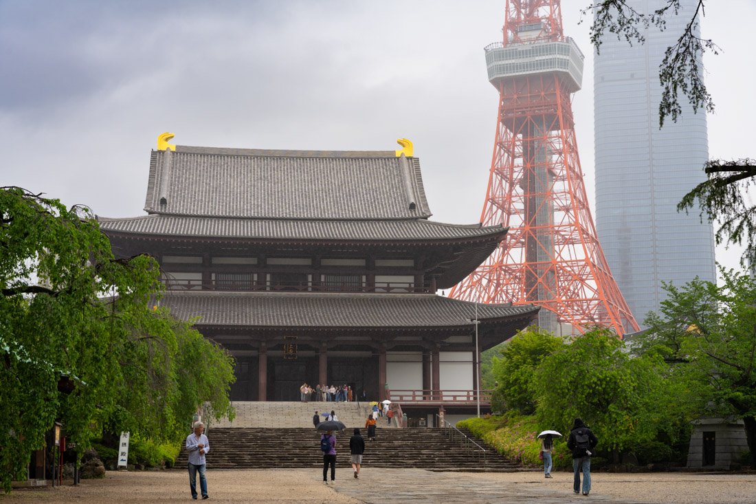
Zojo-ji Temple.
Other Destinations in Tokyo
Here I list a few destinations that are slightly less convenient to reach, harder to combine with other attractions in the city, or simply more niche and not relevant to most travellers.
The Ghibli Museum (Google Maps) is an unmissable stop for fans of Studio Ghibli films, while it may be less interesting for those unfamiliar with its work. The museum offers an immersive experience, with exhibitions and sets inspired by the studio’s films. Tickets go on sale on the 10th of the month before your visit (for example, tickets for May are released on April 10) and sell out within minutes. I gave up, but my sister and her husband managed to book them by logging in in the middle of the night using three different devices. In short, if you are interested, it is essential to plan ahead.
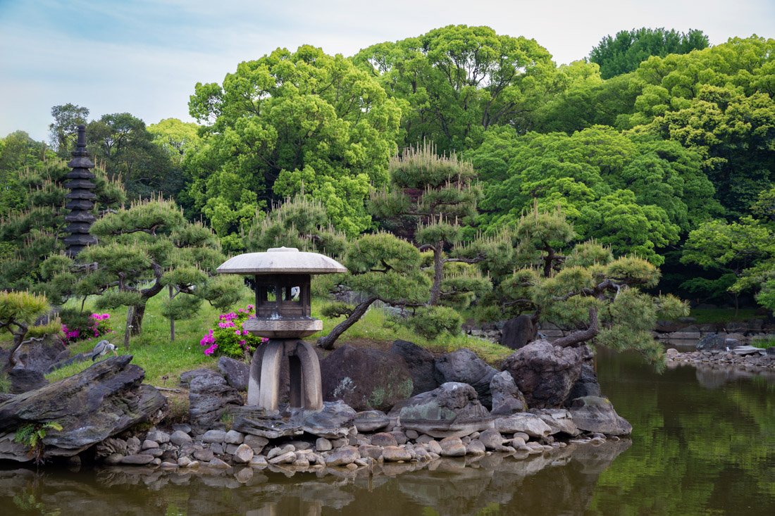
Kiyosumi Gardens.
Kiyosumi Gardens (Google Maps) are close to the centre but “far” from the other main tourist attractions. To be clear, they are nothing unmissable, just classic Japanese-style gardens, but if you are in the area, I recommend them. I visited to pass the time while waiting for dusk because Eitai Bridge (Google Maps) is nearby, and from there you can take the iconic photo with light trails created by boats and skyscrapers in the background, as you can see below.
Ashikaga Flower Park (Google Maps) is a couple of hours outside the city. I did not visit it, but it is a flower park best known for its spectacular wisteria, with tunnels and illuminated trees creating very scenic displays, especially in spring and during the evening illuminations.
N.B. The destinations below are all day trips: if possible, plan them during the week to avoid the weekend exodus from Tokyo.
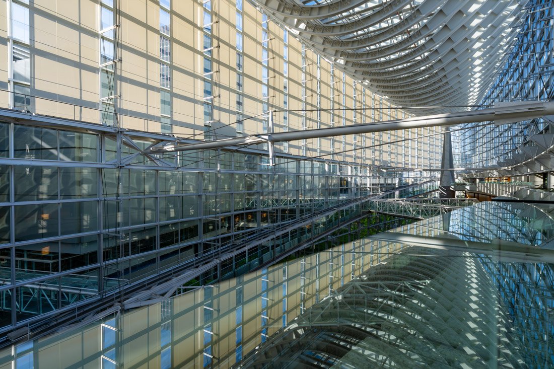
Tokyo International Forum.
Nikko
Nikko is undoubtedly one of the most popular excursions. It is a historic mountain town north of Tokyo, famous for its UNESCO-listed shrines and temples and surrounded by plenty of nature, including waterfalls, forests, and Lake Chuzenji. If you decide to visit it as a day trip, I recommend taking the Limited Express, which reaches Tōbu-nikkō Station (Google Maps) in about two hours. I boarded in Asakusa (Google Maps). From the station, you can easily continue on foot towards the various temples. I also entered Shōyō-en Garden (Google Maps), a classic Japanese-style garden, probably prettier in autumn. Depending on what you decide to visit, it is worth considering the combination ticket, which also includes Rinnōji Temple (Google Maps), Taiyuin Temple (Google Maps), and the Museum (Google Maps) for 1,000 yen.
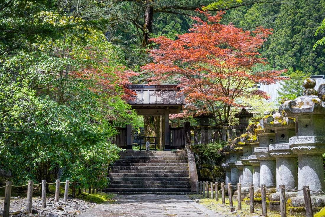
Nikko Futarasan.
Nikkō Tōshōgū Shrine (Google Maps) is generally the most famous attraction in the area. It is probably the richest and most elaborately decorated Shinto complex in Japan, built as the mausoleum of Tokugawa Ieyasu, the shogun who unified the country. I did not even go inside because, since it was Golden Week, there was an endless queue at the entrance, and I was spending the day with a budget-conscious friend (admission costs 1,600 yen), so we decided to visit Nikko Futarasan Shrine (Google Maps) nearby instead. Admission costs 300 yen; honestly, it is nothing exceptional. Afterwards, we went down to Kanmangafuchi (Google Maps), where there are some very picturesque moss-covered statues along the river.
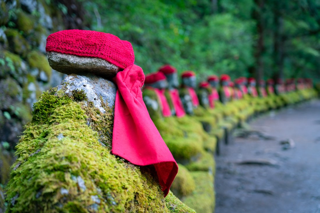
Kanmangafuchi.
From here, the plan was to take the bus towards Kegon Falls (Google Maps), but there was an endless queue for the bus and cars were moving at walking pace along the main road (Golden Week!!), so we decided to avoid it and walked towards Choji Falls (Google Maps) and Kirifuri Falls (Google Maps). They were not exactly the most impressive waterfalls I have ever seen, but at least there was practically no one around. On a normal day, I think it is worth going to the main waterfall, and if you stay for a couple of days, you could consider climbing Mount Nantai (Google Maps) (All Trails) for spectacular views over Lake Chuzenji.
Kamakura
Just an hour by train from Tokyo is Kamakura, which was briefly the capital of Japan from 1185 to 1333, before power returned to Kyoto. Over the centuries, it became one of Japan’s most important spiritual centres and a pilgrimage destination. Arriving from Tokyo, I recommend getting off at Kita-Kamakura Station (Google Maps) and walking this short and very pleasant “trail”, which you can find on AllTrails. Along the way there are a series of temples and shrines: Jōchi-ji (Google Maps), Kuzuharaoka (Google Maps), Zeniarai Benten (Google Maps), Sasuke Inari (Google Maps), and finally the Great Buddha of Kamakura (Google Maps) at Kotoku-in Temple. Admission here costs 300 yen.
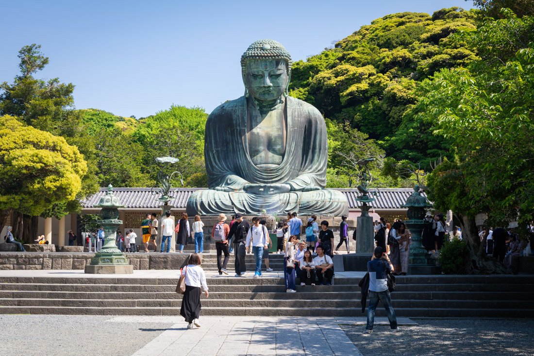
Great Buddha of Kamakura.
If you still have not had enough of temples and shrines, Hase-dera (Google Maps) is nearby, a very nice complex with numerous buildings on several levels. Finally, there is Tsurugaoka Hachiman-gu Shrine (Google Maps). If you do not feel like doing the short trail mentioned above, I recommend starting your visit to Kamakura here by getting off at the main station (Google Maps) and then perhaps going to see the Great Buddha. In any case, admission here is completely free. There is a small paid art museum inside the complex (Google Maps). I did not go in, so I cannot comment. Finally, you can even surf at Kamakura Beach (Google Maps), or you could simply stop for a swim depending on the season.
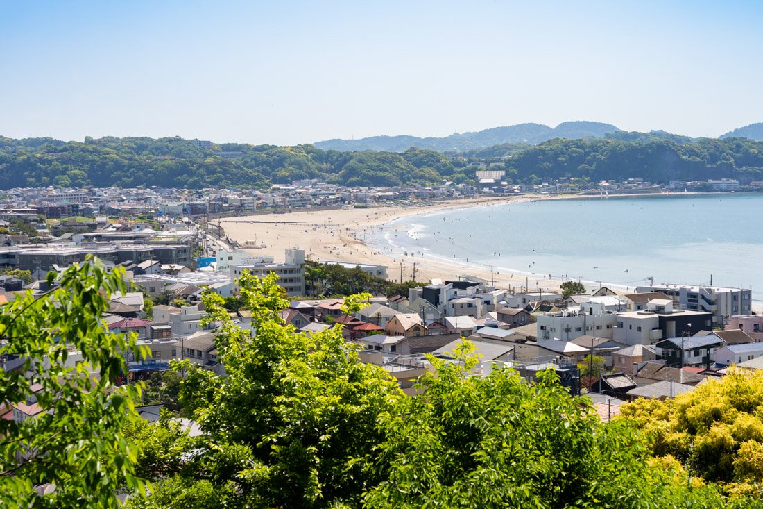
Kamakura Beach.
Hakone
Hakone, less than one hundred kilometres from Tokyo, is another popular day-trip destination. It is particularly famous for its hot springs and views of nearby Mount Fuji across Lake Ashinoko. I visited Hakone during Golden Week after spending the morning in Kamakura. Between the late departure, delayed buses, and traffic jams along the road, I spent about two hours in Hakone, so I did not have the chance to do much. With that said, if you are arriving from Tokyo, take the first train to Odawara Station (Google Maps). All buses to Hakone depart from here. If you simply want to explore the area around the lake, take a bus to this stop (Google Maps). On the other side of the road is the Narukawa Art Museum (Google Maps). It is not exactly my type of museum, so I did not go in, but many people recommend it, particularly for the view over the lake from the café inside the museum.
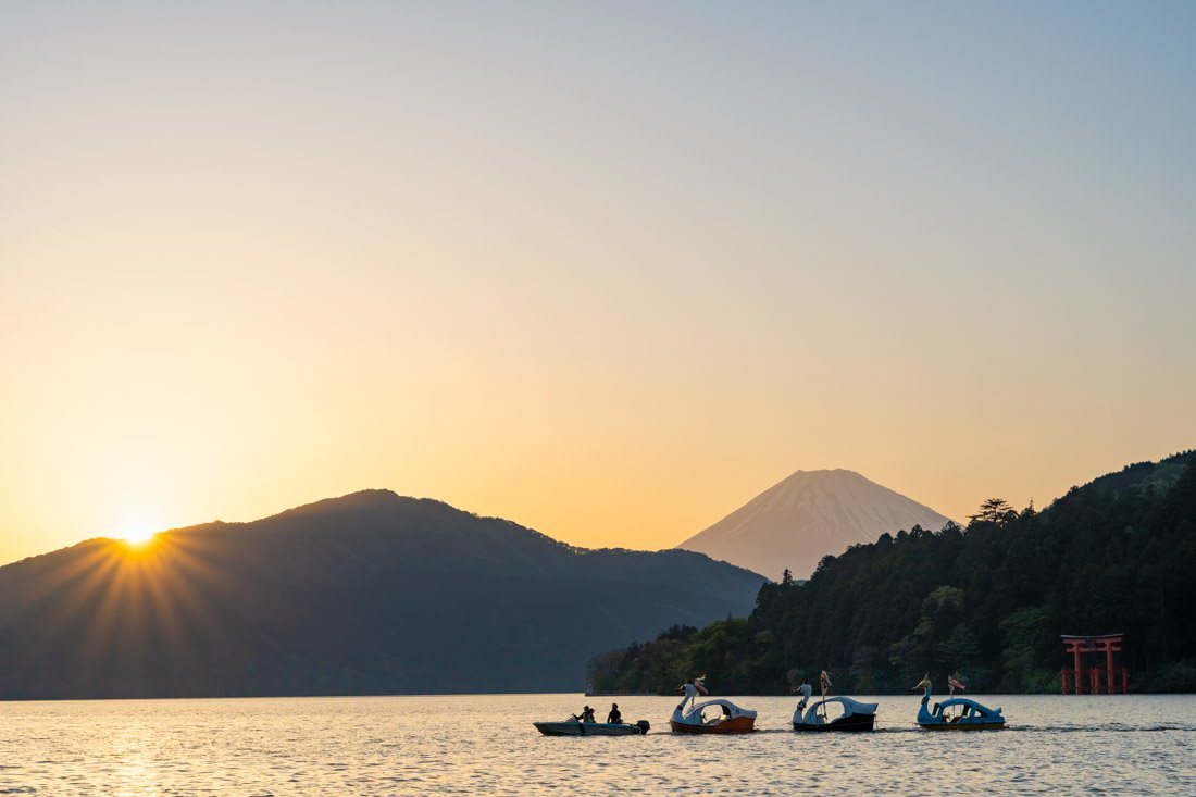
Fuji seen from Hakone.
If you like, there is a completely free park nearby that offers beautiful views of the lake and, weather permitting, Fuji (Google Maps). I simply walked to the iconic torii gate on the other side of the lake (Google Maps) and the nearby shrine (Google Maps), then went back, watched the sunset, and took the bus to Odawara Station. If you arrive in Hakone in the morning or perhaps decide to spend the night, consider visiting the Hakone Open-Air Museum (Google Maps), stopping by the hot springs (here you can find a list of the various facilities), or perhaps going to the top of Mount Komagatake (Google Maps) by taking the scenic cable car (Google Maps). You can also hike up if you prefer (All Trails). If you plan to take the cable car or spend at least a couple of days in Hakone, take a look at the Hakone Freepass, which among other things also includes a discount on the train from Shinjuku in Tokyo.
Yokohama
To conclude this long section dedicated to Tokyo and its surroundings, you could consider visiting Yokohama. Once a quiet fishing village, it was opened to foreign trade in 1859 after the end of Japan’s isolation, quickly becoming one of the country’s main gateways for international trade, especially during the Meiji period. I did not visit it personally, but this history has left behind interesting architecture from the period alongside the modern buildings that now characterise the waterfront, as well as Japan’s largest and most famous Chinatown (Google Maps).
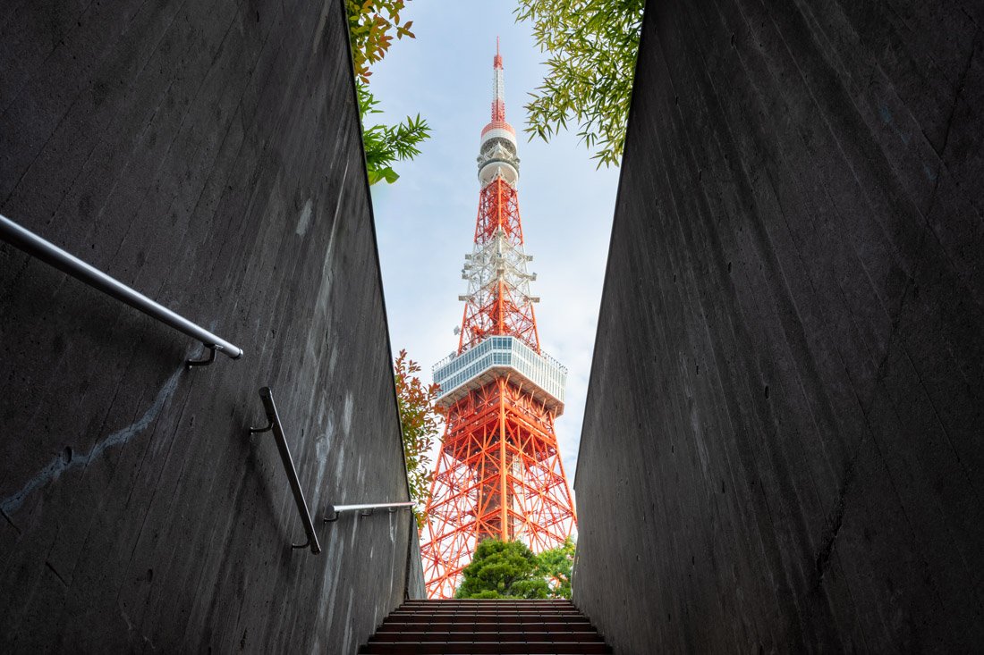
Tokyo Tower.
Where to Stay in Tokyo?
I spent almost a week at Hotel Plus Hostel TOKYO ASAKUSA 1. It offers excellent value for money and a great location just a short walk from Asakusa Station; the sauna and traditional baths are the icing on the cake. I also spent a few nights at Hotel Tomariya Ueno, nothing particularly good or bad, just a short walk from Ueno Station.
How to Get to Tokyo?
Tokyo has plenty of direct connections to the rest of the country. By shinkansen, you can reach Fukuoka to the south and Hakodate to the north in just 5 hours! Of course, there are also plenty of bus connections and the country’s two busiest airports, Narita (Google Maps), about an hour outside the city, and Haneda (Google Maps), much closer to the centre but mainly handling domestic traffic. If for any reason you need to spend the night near the airport, Toyoko Inn Narita Airport Shinkan is nice and not too expensive, with frequent shuttles to and from the airport. In the “How to Get Around Japan” section, you will find plenty of other useful information.
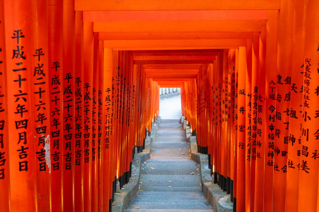
Hie Shrine.
Five Lakes Region (Mount Fuji)
The Five Lakes region is an area at the foot of Mount Fuji made up of five lakes, famous for its spectacular views of the volcano and outdoor activities.
What to Do and See in the Five Lakes Region
To begin with, I spent six nights in the area and rarely saw Fuji, so if you are planning to spend just one night there, you need to accept the possibility that the weather may not cooperate. With that small caveat out of the way, depending on your interests, there are plenty of activities and possible destinations around the five lakes. Depending on what you decide to do, it may make sense to buy a one- or two-day pass that provides unlimited rides on local buses. You can find all the relevant information on this page.
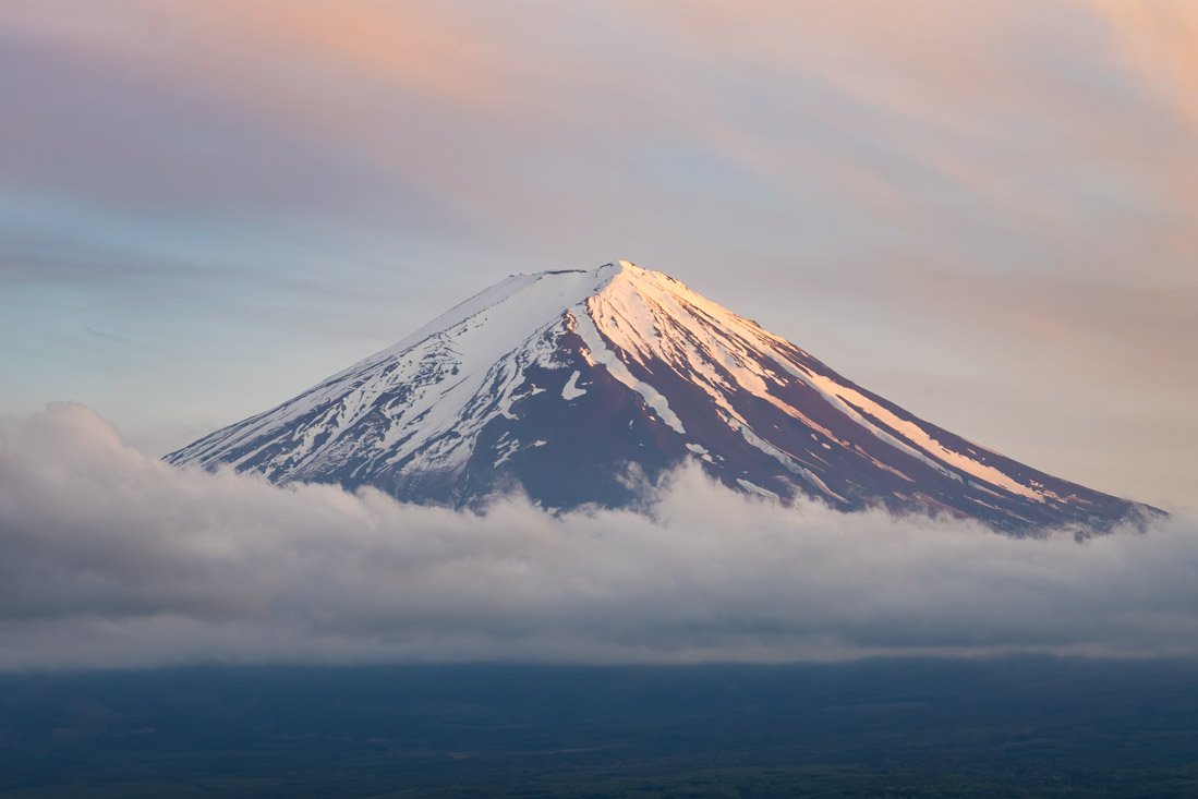
Mount Fuji.
Mount Ashiwada and Sankodai Viewpoint
You can complete this hike by starting conveniently from Kawaguchiko and continuing on foot. Along the route there are numerous viewpoints, such as the summit of Mount Ashiwada (Google Maps) and Sankodai Viewpoint (Google Maps), with beautiful views of Mount Fuji, Lake Kawaguchi, and Lake Saiko. It is a route of less than 10 km, with around 500 metres of elevation gain, so it is accessible to many people. The trail is well maintained and easy to follow. You can find the GPS track on this page (All Trails). For me, it was a really pleasant morning: I only encountered one group of students. If you are looking for peace and beautiful views of Mount Fuji, it is an excellent choice, weather permitting.
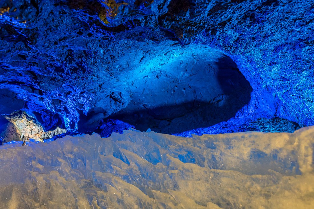
Narusawa Ice Cave.
Narusawa Ice Cave, Fugaku Wind Cave, Aokigahara Forest and Fuji Yurari Hot Spring
At the end of the trail just described, essentially on the other side of the road, is Narusawa Ice Cave (Google Maps). Admission costs only 300 yen, but in my opinion it is a complete waste of time. The section open to visitors is really small, there are a few blocks of ice and nothing more. It was so disappointing that instead of also visiting the nearby Fugaku Wind Cave (Google Maps), which has similar reviews, I took the first bus back to Kawaguchiko. That said, a more interesting option could be visiting Aokigahara Forest (Google Maps), also known as the suicide forest, famous for its atmospheric landscape of roots, moss, and silence. I did not visit it, but a friend told me it is quite nice. Another option could be Fuji Yurari Hot Spring (Google Maps). It was hot on the day I visited this area, so it did not seem particularly appealing, but on a cold day or perhaps simply in the evening, you could stop here before returning to Kawaguchiko.
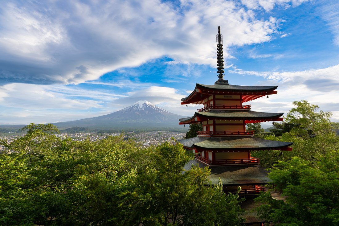
Chureito Pagoda.
Chureito Pagoda
Chureito Pagoda (Google Maps) is perhaps one of the most iconic places in Japan, at least among photography enthusiasts. As far as I am concerned, it offers one of the most memorable views from all my travels. I strongly recommend coming at sunrise to avoid the crowds. Unfortunately, unless you are staying close enough to walk, the only option is to take a taxi because public transport starts operating too late. That said, not coming at sunrise is absolutely not a disaster, and although it is more crowded, sunset remains an excellent option. The nearest station is Shimoyoshida Station (Google Maps); from here, it takes about 10 minutes to walk up to the pagoda.
Fujiyoshida Street
Fujiyoshida Street (Google Maps) is the famous street that aligns perfectly with Mount Fuji in the background. It is a very popular photo spot, especially when using a zoom lens to achieve the classic perspective-compression effect. That said, it is still a busy road: avoid reckless behaviour just for a photo. Do not stand in the middle of the road and respect local instructions; it is no coincidence that there are signs asking tourists not to stop in the street. If you decide to visit Chureito Pagoda at sunrise, I recommend stopping here immediately afterwards, when the light is still favourable and traffic is limited.
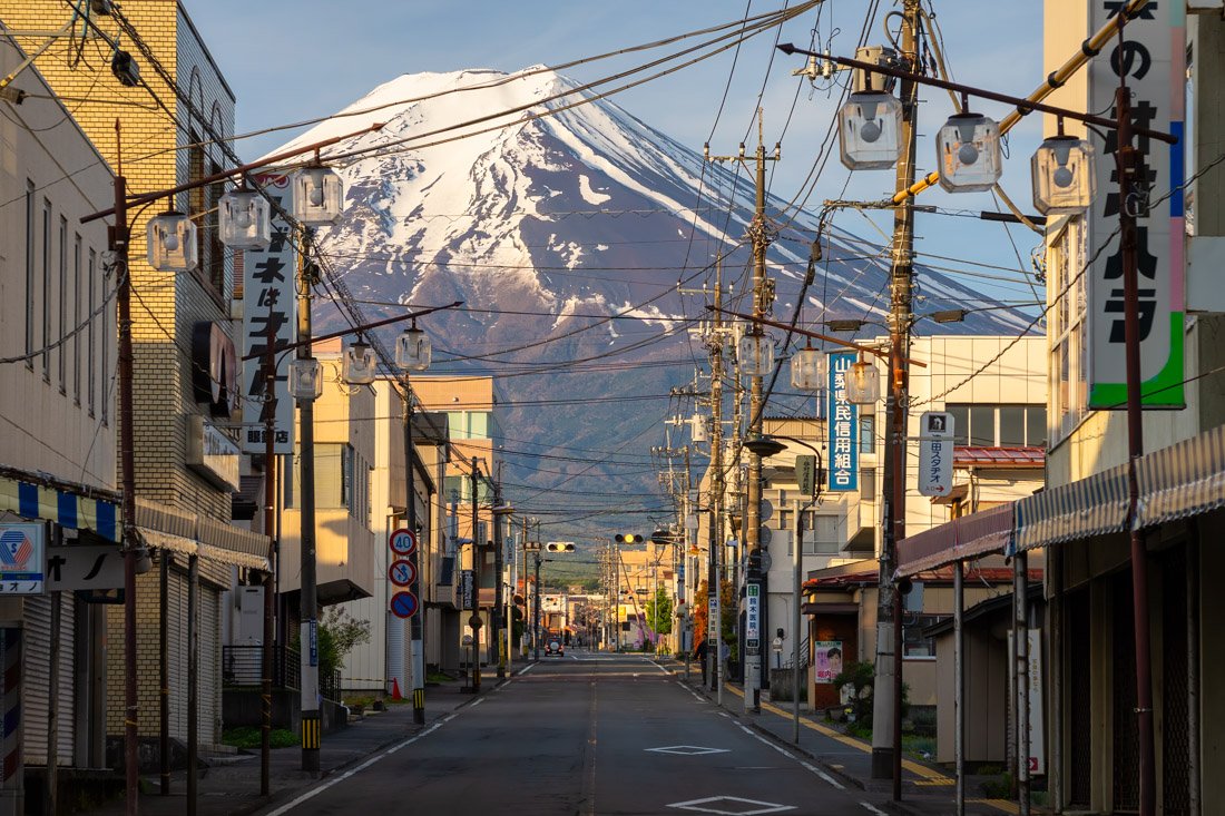
Fujiyoshida Street.
Mount Mitsutoge
Mount Mitsutoge (Google Maps) offers one of the best viewpoints of Mount Fuji. With around 1,200 metres of elevation gain, it is a more demanding hike than the one described above, but still accessible to many people. I recommend following this route (All Trails), starting from Mitsutōge Station (Google Maps). Just below the summit there is also a mountain hut (Google Maps) where you could even spend the night if you wanted, but you can certainly eat or drink something there at the end of the climb. An interesting variation from the trail described on AllTrails could be to descend towards Chureito Pagoda for sunset, switching trails at this point (Google Maps). For those who do not want to work too hard, another option could be to do the route in reverse and save some elevation gain by taking the Mt. Fuji Panorama Ropeway (Google Maps). Near the upper station there is also the iconic swing (Google Maps). From here, you could continue to the trail that leads to Chureito Pagoda, or perhaps stop earlier and return along the same trail. Essentially, depending on how much you feel like walking, you can create your own customised itinerary.
Lake Kawaguchiko, Lake Saiko and Saiko Iyashi-no-Sato Nemba Village
Oishi Park (Google Maps), on the shores of Lake Kawaguchiko, is a popular place, especially in spring when there are lots of flowers. That said, the entire northern shore of the lake offers excellent views of Mount Fuji, particularly at sunset. I went there by bus, but you could also rent a bicycle and ride all the way around the lake. In that case, the more energetic could continue as far as Lake Saiko, where you will find Saiko Iyashi-no-Sato Nemba Village (Google Maps), a reconstruction of a traditional Japanese village. I did not visit it, but it should be similar to Oshino Hakkai, which I discuss below.
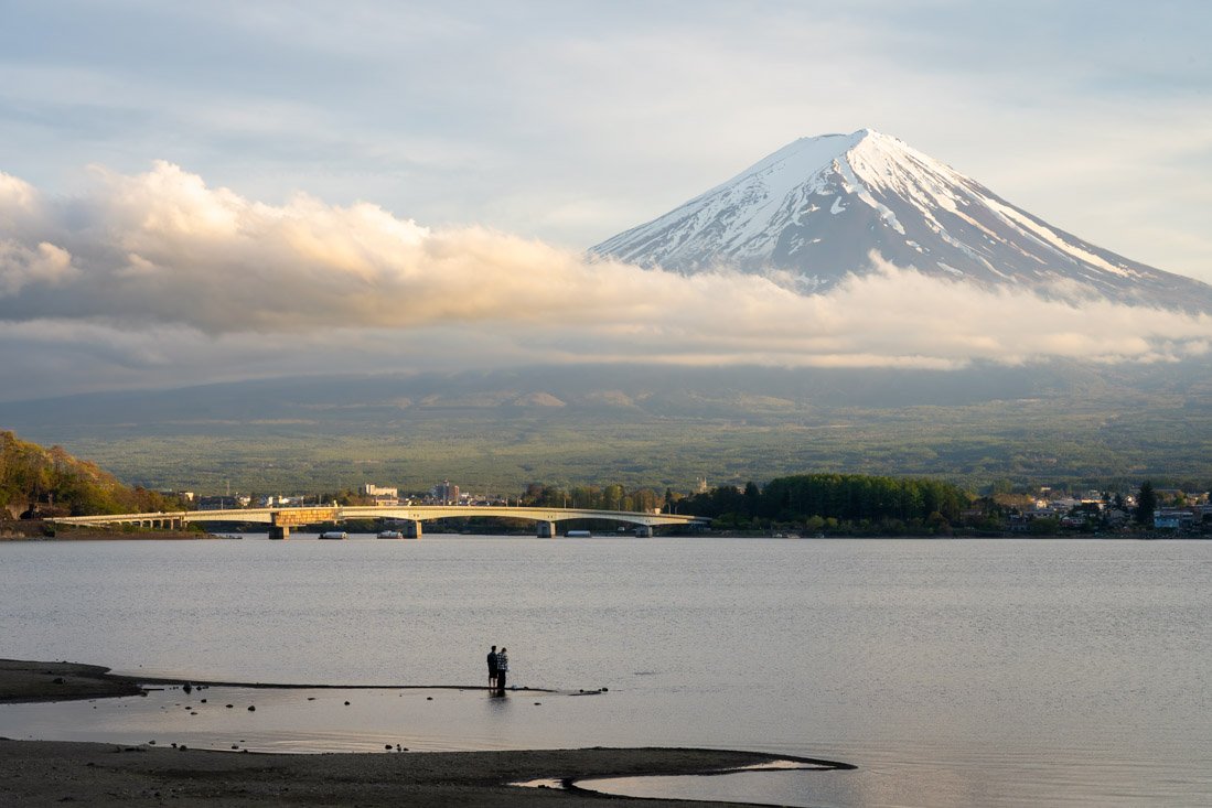
Northern shore of Lake Kawaguchiko.
Mount Fuji
Of course, it is also possible to climb to the summit of Mount Fuji, the highest mountain in Japan. Unfortunately, I did not have the chance to do it because in May it is still too early to consider it a straightforward hike: snow and ice still pose a significant risk. The official season runs from July to around mid-September. The most popular trail is the Yoshida Trail, which nowadays, due to the high number of visitors, has a permit limit and therefore needs to be booked in advance. There are also other less crowded trails without a strict cap on entries, but they still require registration and payment of an entrance fee. For more information, I refer you to the official website.
Fuji Motosuko Resort
If you have ever seen photos of flower fields with Mount Fuji in the background, Fuji Motosuko Resort (Google Maps) is most likely the place in question. The Fuji Shibazakura Festival is held here, a spring event at the foot of Mount Fuji during which vast expanses of flowers create a colourful carpet ranging from pink to purple, generally between April and May. I did not visit, both because the peak bloom had already passed and because it is a little inconvenient to reach without a car. There is, however, a shuttle bus from Kawaguchiko, but the ticket costs around 2,400 yen. If you are interested, on the official website you can book both the bus and admission.
Oshino Hakkai
Oshino Hakkai (Google Maps) is a popular tourist destination made up of 8 spring-fed ponds from Mount Fuji, located between Lake Kawaguchiko and Lake Yamanakako. There is a reconstruction of a traditional Japanese village here with Mount Fuji in the background. Although it is certainly photogenic, I found it very touristy and relatively crowded despite visiting early in the morning; I do not dare imagine what it is like during the day. As far as I am concerned, I think there are better things to do. If you decide to go, I recommend combining the visit with Kitaguchi Hongu Fuji Sengen Shrine (Google Maps), which is on the way.
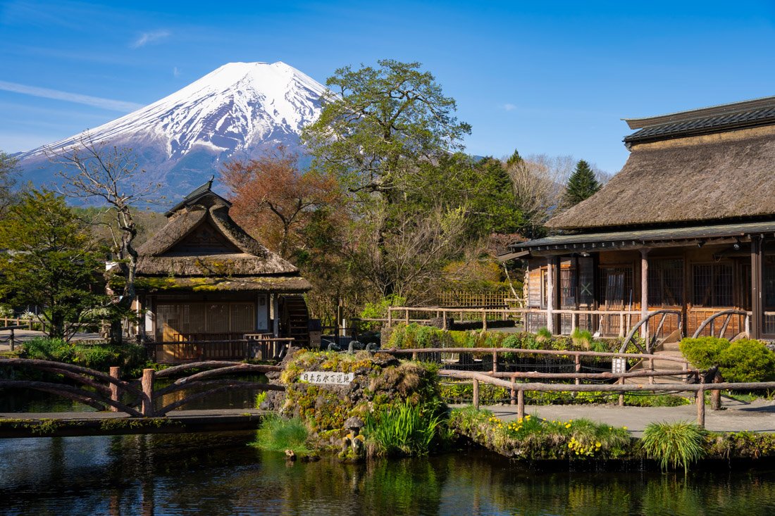
Oshino Hakkai.
Lake Motosu and Lake Shōji
Of the five lakes, these two are definitely the most inconvenient to visit by public transport. Personally, I gave up, but if you are more determined than I was, at Lake Motosu there is a very distinctive viewpoint, namely the angle used for the image printed on the old 1,000-yen banknotes (Google Maps), while at Lake Shōji there is this observation platform (Google Maps), reached at the end of this trail (Google Maps).
Where to Stay in the Five Lakes Region?
Although the Five Lakes region is very large, most travellers use either Fujiyoshida or Kawaguchiko as a base. Especially if you plan to use public transport to get around, these are the two options that make the most sense. I spent a few nights at Mt Fuji Hostel Michael’s, a good hostel. The spaces are a little cramped, but overall it offers excellent value for money and an unbeatable location for anyone wanting to watch the sunrise from Chureito Pagoda. I then spent a couple of nights at K’s House MtFuji, with a more central location just a short walk from the lake, beautiful and spacious common areas, and objectively a more comfortable property.
How to Get to the Five Lakes Region?
Although technically it is possible to arrive by train from Tokyo, the bus is not only cheaper but also faster. You can book the highway bus on this website. It is the Tokyo – Yamanashi route. Depending on where you decide to stay, the two arrival stations for most people should be Kawaguchiko Station (Google Maps) or Fujisan Station (Google Maps), but there are also other stops; you can find the complete list at the link. Especially in high season, I recommend booking the bus at least a few days in advance. Alternatively, you can take the train from Tokyo Station or Shinjuku Station towards Otsuki Station (Google Maps). From here, there are connections to Mt.Fuji Station (Google Maps) and Kawaguchiko Station (Google Maps). Finally, depending on your itinerary, you could consider the night bus connecting the Five Lakes region with Osaka and Kyoto. There is only one departure per day, so it is advisable to book in advance; this is the official website. In the “How to Get Around Japan” section, you will find plenty of other useful information.
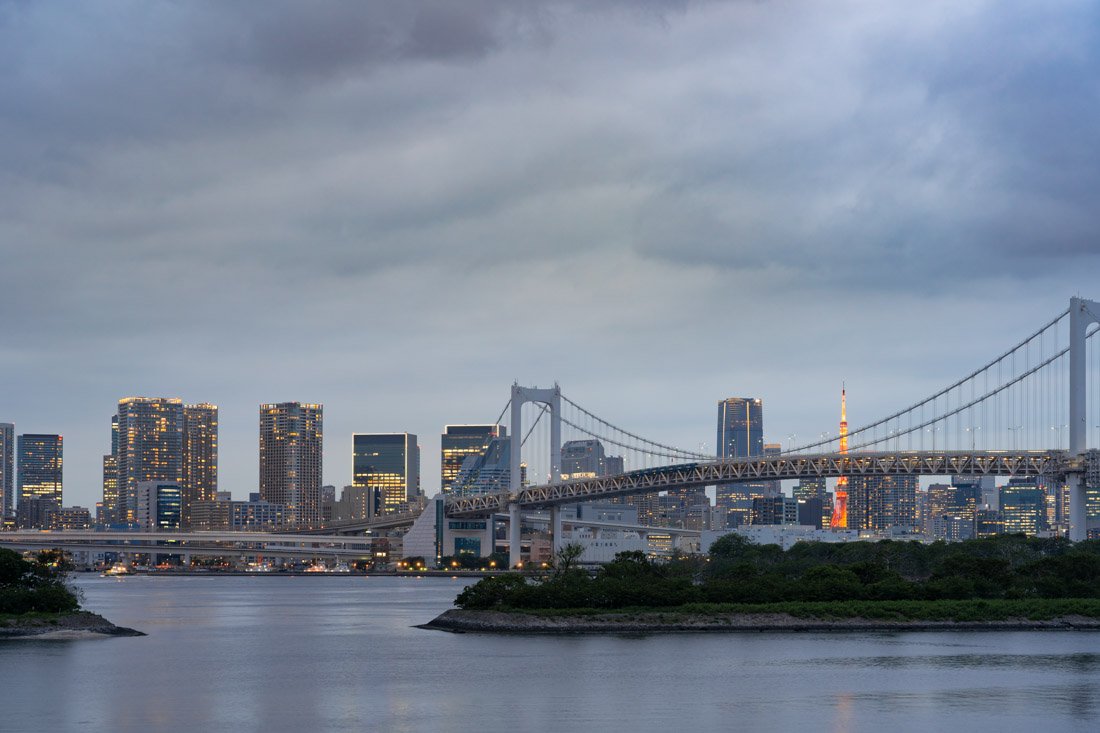
Tokyo.
Yatsugatake Mountains
The Yatsugatake Mountains are a mountain range between Nagano and Yamanashi, appreciated for their scenic hikes, relatively accessible peaks, and alpine landscapes reminiscent of the European Alps. During my visit, however, there was still a lot of snow at higher elevations, so I preferred to continue towards Matsumoto. In particular, I had been recommended the ascent of Mount Akadake (Google Maps), both by a friend and by a local guy I met along the Kumano Kodo. However, the final section is quite technical, with chains and exposed passages: in early May, with snow and ice still present, I preferred to avoid it. The most popular route seems to be the one that also reaches the summits of Mount Yokodake and Mount Iodake, as described on this page (All Trails). You could also spend the night at Yatsugatake Honzawa Hot Spring (Google Maps), which at 2,150 metres are the highest natural hot springs in Japan.
How to Get to the Yatsugatake Mountains?
By public transport, the main hub is Chino Station (Google Maps). From here, there are direct buses to the car park where the trail described above begins (Google Maps).
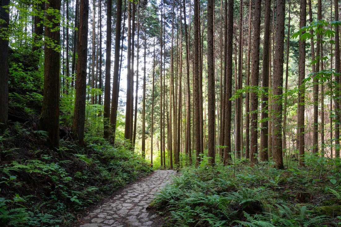
Nakasendō Trail.
Matsumoto
Matsumoto is a historic city famous for its splendid black castle, one of the best preserved in Japan, and for its peaceful atmosphere with views of the Japanese Alps.
What to Do and See in Matsumoto
As mentioned, the number-one attraction in Matsumoto itself is its castle (Google Maps). There are free tours of the castle from 10:00 to 15:00. They absolutely do not want any money; it explicitly says that they do not accept tips. I limited myself to walking around the outside of the castle because I was literally short on time, but it can certainly be a nice way to spend a couple of hours. Another nearby attraction that is often recommended is Yōhashira-jinja Shrine (Google Maps). That said, the city also serves as an excellent base for exploring both the Japanese Alps (Kamikōchi) and the Kiso Valley.
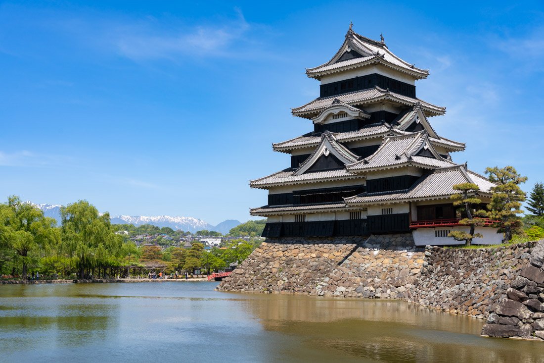
Matsumoto Castle.
Kiso Valley
The Kiso Valley was one of my favourite destinations in Japan. It is a historic valley crossed by the ancient Nakasendō route, famous for its perfectly preserved post towns that recreate the atmosphere of Edo-period Japan. While I visited it as a day trip from Matsumoto, it is also possible to stay overnight. As mentioned earlier in the guide, the Kiso Valley can also be reached from Nagoya and, depending on your itinerary, this may be the most convenient option logistically, especially if you then need to return to Tokyo for your flight home.
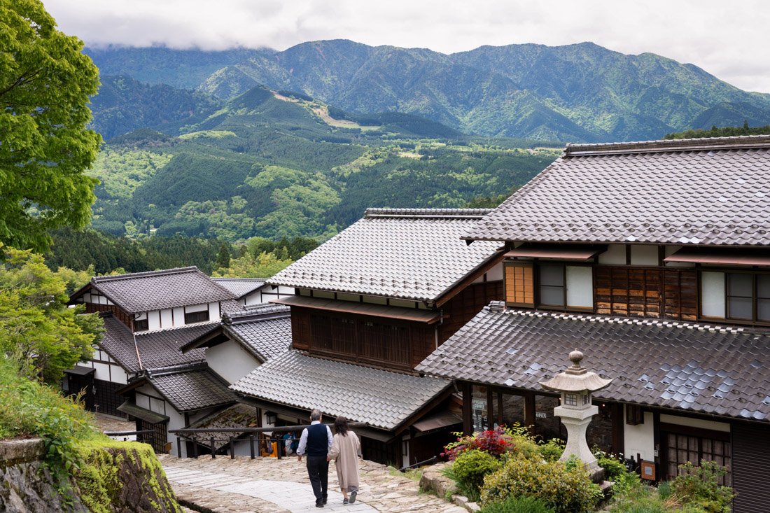
Magome.
What to Do and See in the Kiso Valley
Starting from Matsumoto and visiting the Kiso Valley as a day trip, I recommend organising it this way: take the first available train to Nagiso Station (Google Maps). At the time of writing, this is the 7:42 train arriving at 10:02. The bus station (Google Maps) is literally next to the railway station, and from there a minibus leaves for Magome at 10:10 (Google Maps). Note: neither at Nagiso Station nor on the minibus can you pay with an IC card, so make sure you have enough cash with you.
Once you arrive in Magome, I recommend walking to Tsumago, following the route described on this page (All Trails), a section of the ancient Nakasendō route. I had lunch at this restaurant, which is located about halfway along the route (Google Maps). From here, the trail descends to the village of Tsumago Juku (Google Maps), considered by many to be the best preserved in the valley. From here, I continued on foot to Nagiso Station (alternatively, you can take a bus) and then took the first train to Narai (Google Maps), another post town in the Kiso Valley.
I arrived in the late afternoon, when the streets were practically empty: the atmosphere was extremely evocative and the visit is absolutely worth it. If you want, you could have dinner here, but it is essential to check the train times back to Matsumoto in advance. In general, you can adapt the itinerary very flexibly: for example, skip Narai or take the bus from Magome to Tsumago instead of walking the trail. Another option is to sleep in the valley and return to Matsumoto the following day. In short, in the Kiso Valley you can build whichever itinerary you prefer: the one I followed simply represents a good compromise between time and variety.
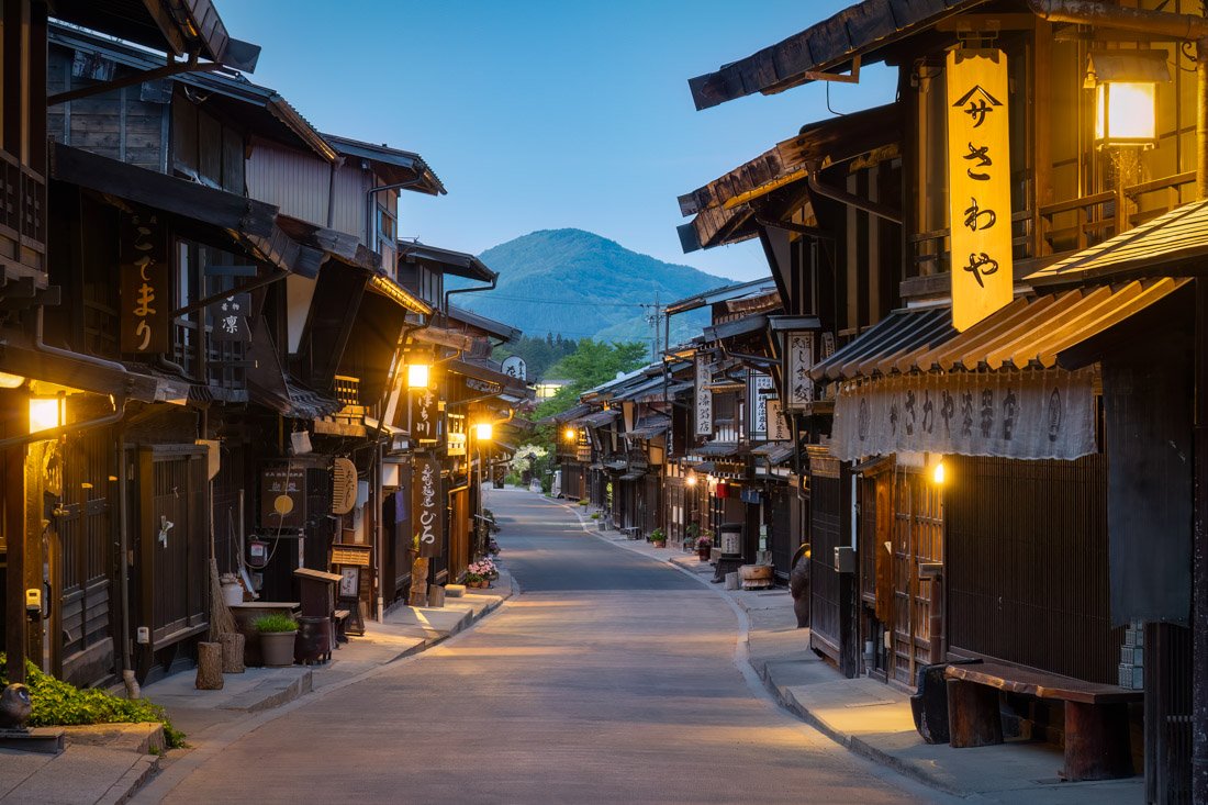
Narai.
Kamikōchi
Kamikōchi is a spectacular valley in the Japanese Alps, one of the country’s best destinations for hiking among mountains and unspoilt nature. As mentioned, I will treat Kamikōchi as a destination to visit using Matsumoto as a base. However, there are other options as well: you can stay directly in Kamikōchi or in the nearby village of Okuhida Onsengo Hirayu, famous for its hot springs. From a logistical point of view, this second option can make particular sense if you plan to continue your journey towards Takayama.
Based on my research, the cheapest options in Kamikōchi are Nishi-Itoya Mountain Lodge (Official website) and Konashidaira Campground (official website), where you can also camp and pitches cost only 1,500 JPY. Most properties do not appear on websites such as booking.com, so I recommend checking the official Kamikōchi website. In Okuhida Onsengo Hirayu, a friend recommended Hirayu no Mori (Google Maps) (official website).
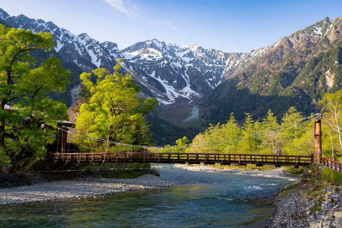
Kamikōchi.
What to Do and See in Kamikōchi
To begin with, because of the snow, access to the valley is normally closed from November 15 to April 16, and some trails remain officially closed even longer. I visited on May 10 and above 2,300 metres there was still a lot of snow. With that said, there are so many possible hikes that instead of listing them all, I refer you to the usual All Trails, the official website, or this website, where you can find plenty of suggestions ranging from short hikes with little elevation gain on the valley floor to day hikes up mountains and multi-day treks with overnight stays in mountain huts.
Personally, I managed to reach the summit of Mount Chogatake (Google Maps) in a single day, following this loop (All Trails), in addition to the approach from the bus parking area. The summit is considered one of the best viewpoints over the Japanese Northern Alps. The snow definitely slowed me down, but I practically never stopped: it took me about four hours from the moment I got off the bus to the hut at the summit. On the way back, I practically had to run to catch the last bus at 17:30. In general, doing it as a day hike is clearly possible, but for many people it may be too ambitious. A more accessible option is to spread it over two days, staying overnight in the hut (Google Maps). If you are looking for a very easy option on the valley floor, you could do this loop (All Trails). For everything else, I refer you to the websites mentioned above.
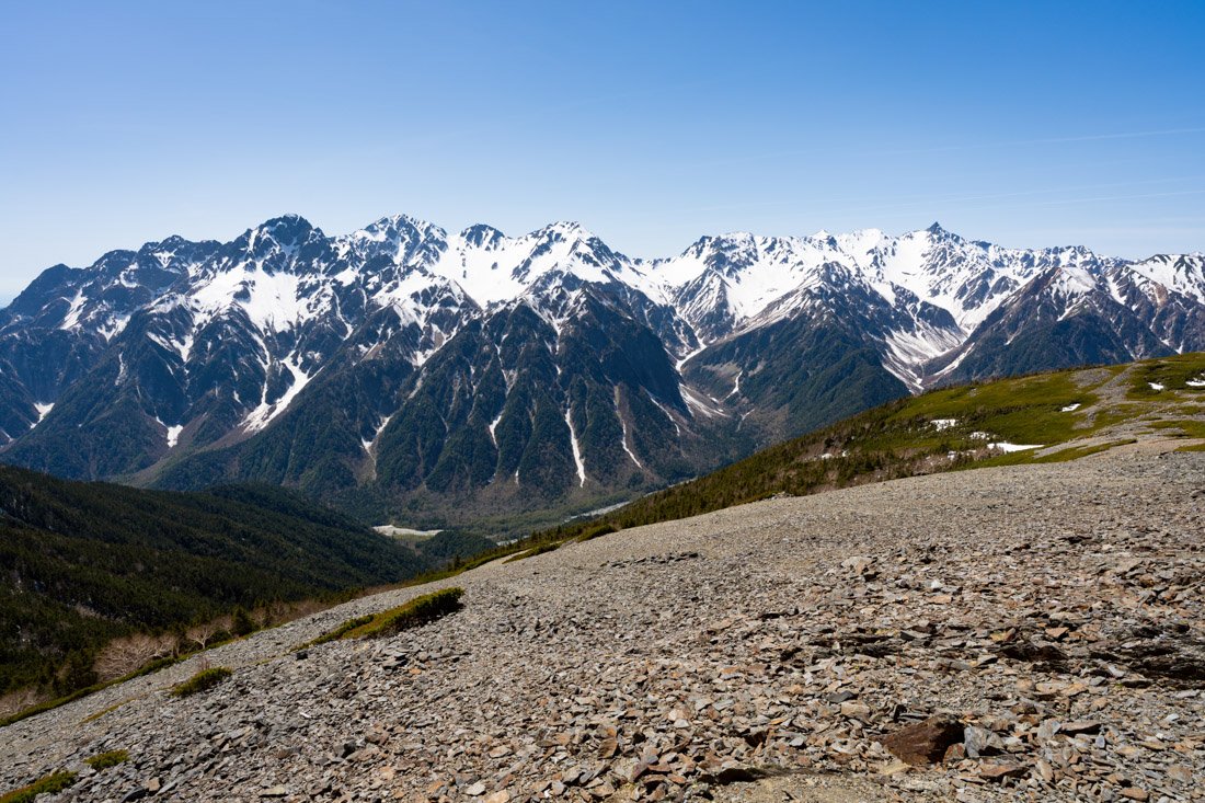
Mount Chogatake.
How to Get to Kamikōchi?
Generally speaking, starting from Matsumoto there are two options: take the train from Matsumoto to Shinshimashima Station (Google Maps). You cannot use an IC card on this line; the ticket must be purchased from the ticket machines at Matsumoto Station. From Shinshimashima Station, there are direct buses to Kamikōchi. The alternative is the direct Matsumoto – Kamikōchi bus, which must be booked online on the official website. As mentioned above, if you are continuing your journey towards Takayama, want to optimise your travel, and save some money as well, you can go to Kamikōchi with all your luggage, leave what you need in the lockers at the visitor centre, do your hike, and then take the direct bus to Takayama at the end of the day, or perhaps to Okuhida Onsengo. In any case, you can find all the relevant information on the official Kamikōchi website.
Where to Stay in Matsumoto?
I stayed at Minka House. Nothing particularly good or bad; it has an excellent location not far from both the train station and the castle.
How to Get to Matsumoto?
Arriving from the Five Lakes region, you can take the bus from Kawaguchiko Station (Google Maps) to Kofu train station (Google Maps), from where there are direct trains to Matsumoto Station (Google Maps). In the “How to Get Around Japan” section, you will find plenty of other useful information.
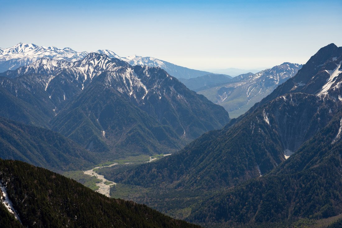
Japanese Northern Alps.
Takayama
Takayama retains a traditional charm that is rare among Japanese cities, especially in its perfectly preserved historic centre. It is a very popular destination for those who want to add a more rural element to their itinerary in central Japan. The city is particularly lively during the Takayama Matsuri, considered one of the most spectacular festivals in Japan, famous for its finely carved decorated floats (yatai) and traditional parades. If you visit the city at a different time, a good alternative is the Matsuri no Mori Museum (Google Maps), entirely dedicated to the festival.
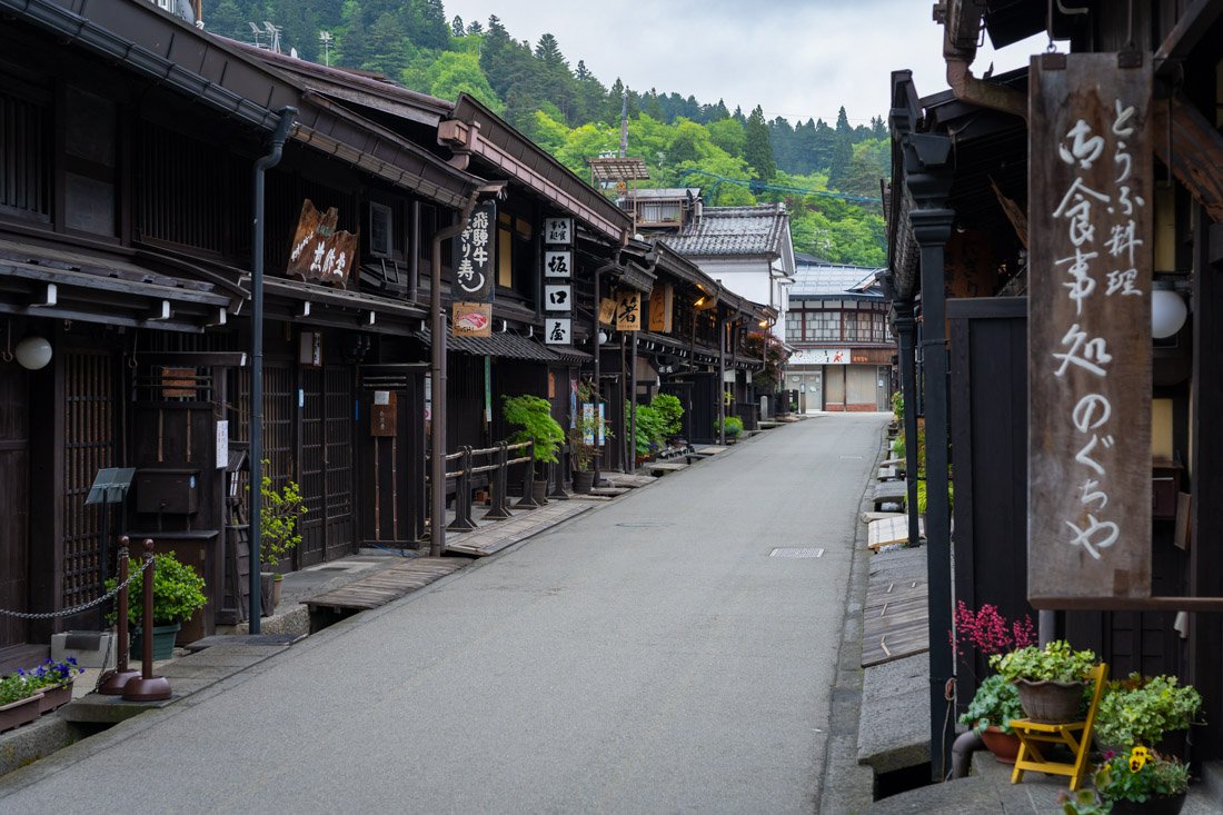
Takayama.
What to Do and See in Takayama
Takayama is quite compact. I spent one day there and found it more than enough. In addition to walking around the historic centre (Google Maps), I recommend stopping by Takayama Jinya (Google Maps), which served as the offices of the Edo shogunate from 1692 to 1868. The only building of its kind still in existence, it is recognised as a historic site of national importance. Admission costs 500 yen. There was a live music performance from 10:00 to 12:00; I was there on a Sunday, so I assume it was a special event.
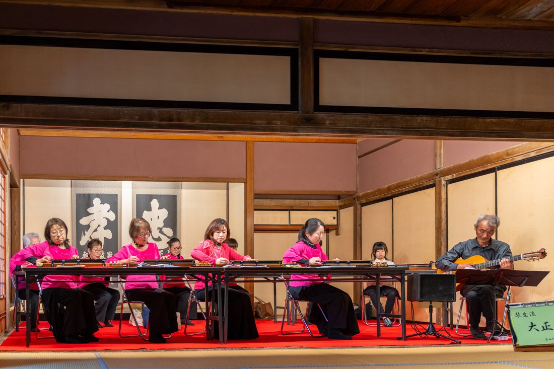
Live music performance.
If you feel like walking for a few hours, you could follow this GPS track (All Trails), which includes the “Higashiyama Walking Course”, a route with around a dozen temples and shrines and the ruins of the old Takayama Castle, where there is not much to see but there is a beautiful view over the Central Alps. Finally, I did not visit it, but you could also visit Hida Folk Village (Google Maps), an open-air museum with traditional gasshō-zukuri-style houses (similar to those in Shirakawa-go). Personally, I preferred to skip it, but it is still a valid option.
Where to Stay in Takayama?
I stayed at Hostel Miyagawa by Murasaki Ryokan, a good hostel inside a historic building in the city centre and not far from the train station.
How to Get to Takayama?
From Matsumoto Bus Terminal (Google Maps), there are several direct connections each day. You can book online on this website. As mentioned above, there are also direct buses from Kamikōchi and Okuhida Onsengo (the hot spring village); this is the official website.
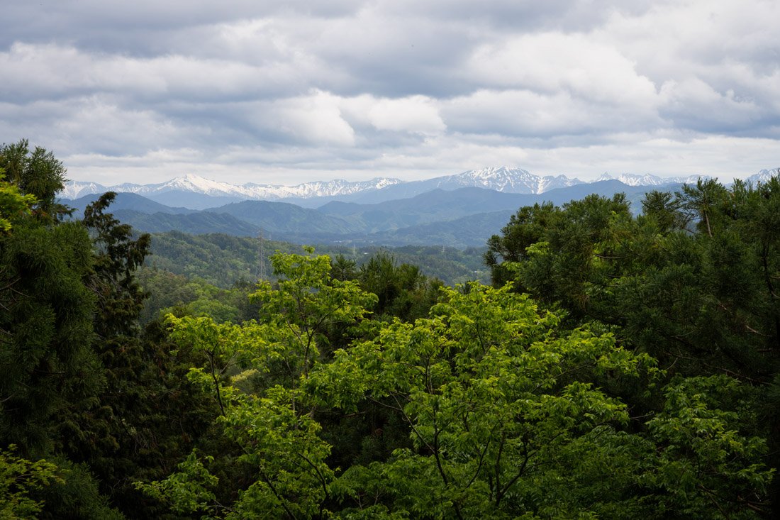
View from the ruins of old Takayama Castle.
Kanazawa
During the Second World War, Kanazawa was one of the major Japanese cities (along with Kyoto) to largely escape destruction from air raids. As a result, some areas of the old city have survived in relatively good condition.
What to Do and See in Kanazawa
Although Kanazawa is much larger than Takayama, I think a full day is more than enough to visit the main attractions.
Kanazawa Castle Park
I recommend starting with Kanazawa Castle Park (Google Maps): it is a very pleasant place for a walk. You can visit much of the inner gardens and the castle gates free of charge. If you want to enter the main building (Google Maps), you need to pay 320 yen. It is not much, but it was the weekend and there was a bit of a queue. Moreover, according to the reviews, as is often the case with castles, there is not much to see inside. Up to you. That said, there is a nice and free virtual tour in the rest area that serves as a visitor centre (Google Maps).
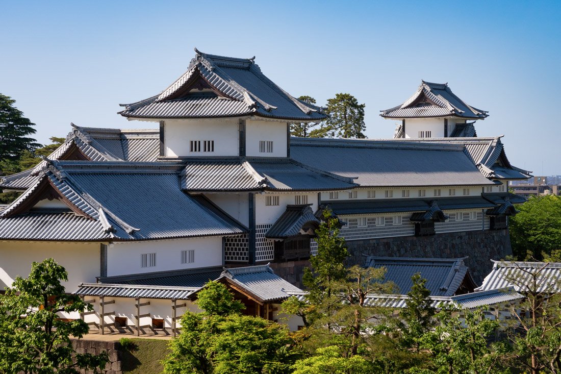
Kanazawa Castle Park.
Kenroku-en Garden
From Kanazawa Castle Park, continue towards Kenroku-en Garden (Google Maps), which is considered one of the “three best landscape gardens in Japan”. The large park was once the outer garden of Kanazawa Castle and was built by the ruling family over almost two centuries. Kenrokuen features a variety of flowering trees that give the garden a different appearance in each season. Personally, I did not find it quite as impressive as other traditional gardens I visited during my trip, but I clearly recommend visiting it. Admission costs 320 yen.
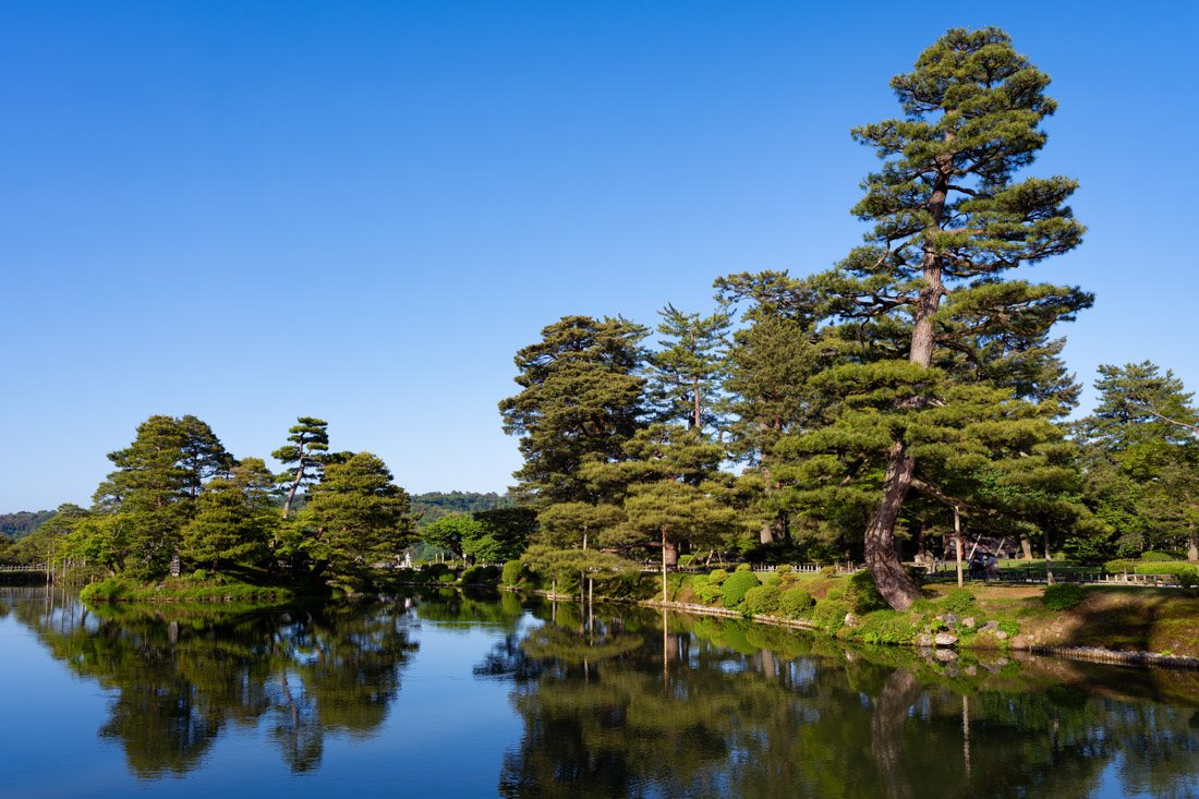
Kenroku-en Garden.
Higashi Chaya District (Geisha District)
End the day in Higashi Chaya (Google Maps), the largest of Kanazawa’s three historic “teahouse” districts. Founded in 1820, it was where geiko (the local term for geisha) entertained wealthy merchants with music, dance, and games. The traditional wooden buildings and characteristic windows still preserve the atmosphere of more than 200 years ago. Personally, I found it very charming.
Finally, two other recommended attractions that I did not visit are Myouryuji Temple, also known as the “Ninja Temple” (Google Maps). The guided tour is only available in Japanese and the reviews are rather mixed, so I preferred to spend my time elsewhere, but it is still an interesting option. In addition, a friend spoke very highly of the 21st Century Museum of Contemporary Art (Google Maps), which apparently is absolutely worth a visit for enthusiasts.
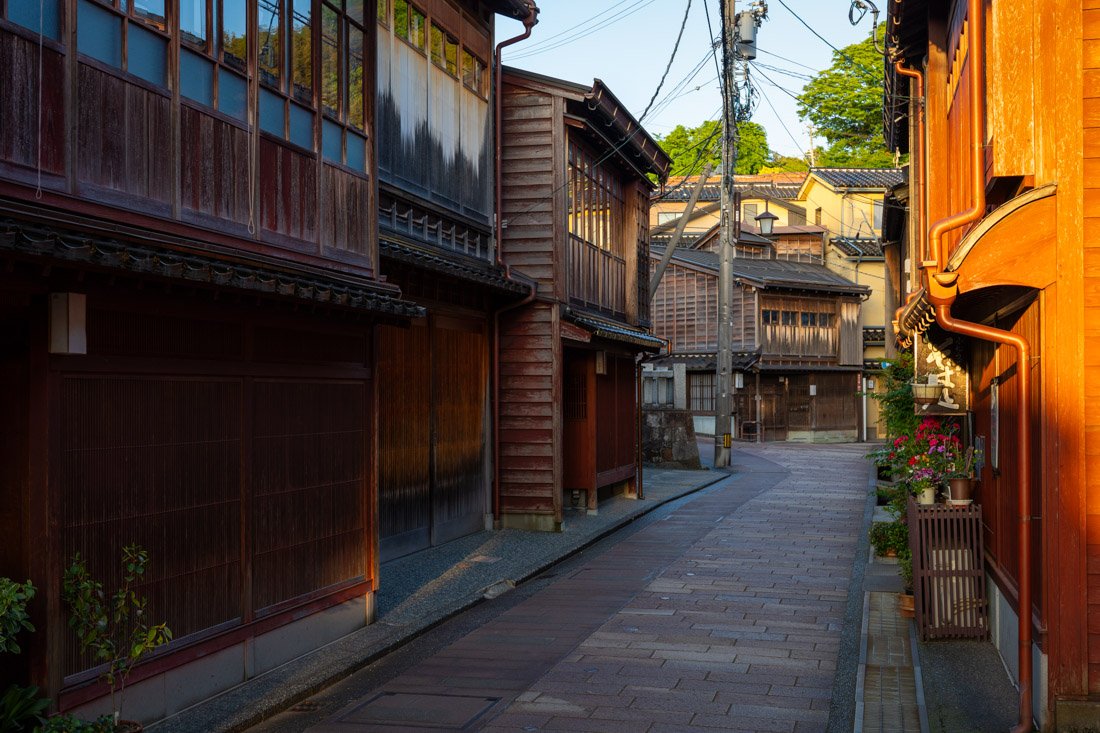
Higashi Chaya District.
Shirakawa-go (Ogimachi) and Ainokura
N.B. If you want to be efficient with your travel, the direct bus to Kanazawa from Takayama is the same one that also serves Shirakawa-go. This way, you can take a bus in the morning, visit the village, and then continue to Kanazawa in the afternoon or evening. Lockers are available at the bus station for your luggage.
Ogimachi and Ainokura are two UNESCO-listed mountain villages famous for their traditional gasshō-zukuri houses with thatched roofs, set in very picturesque rural landscapes that are particularly spectacular under the snow in winter. I decided to visit the villages as a day trip from Kanazawa. The only real advantage compared with what I suggested above is that this makes it easier to visit some of the other villages as well (I chose Ainokura, but there are also Suganuma, Kaminashi, and Kaminashi). Visiting all of them in one day by public transport becomes “complicated”, however, because the buses are not very frequent. That said, if you want to do the same, take the bus from Kanazawa towards Jōhana Station (Google Maps). From here, the World Heritage Bus departs (official website). Departures are also shown on Google Maps, and you can pay directly with any card; you do not even need an IC Card. Depending on what you want to do, it may make sense to buy the Hop on/off pass.
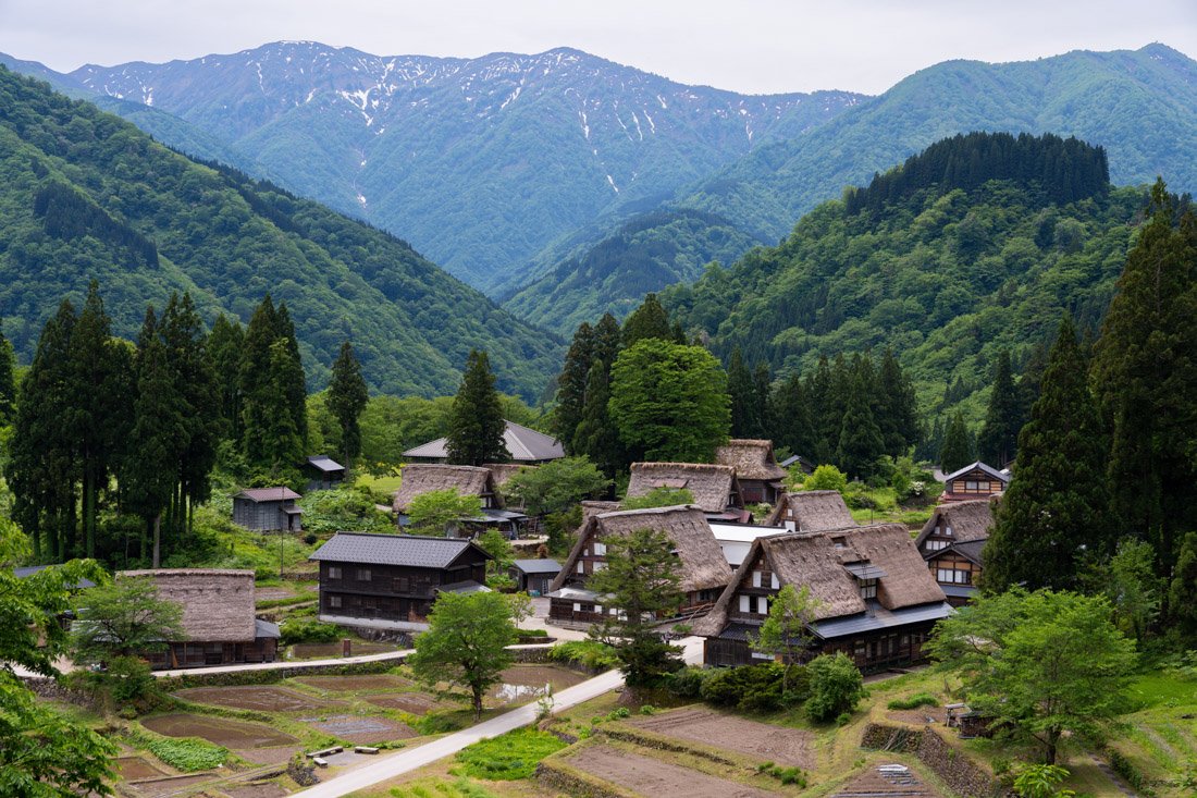
Ainokura.
Get off at this stop (Google Maps) and continue on foot towards Ainokura (Google Maps). The village is very compact, so do not expect to spend too much time there, especially if you do not visit any of the museums or workshops on offer. I simply walked around the village and went up to the viewpoint, which I recommend (Google Maps). Once you have finished your visit, return to the road and take the World Heritage Bus again. If you want, you could also stop at Suganuma (Google Maps), but I stayed on board until Shirakawa-go. The latter is not only by far the largest of the traditional villages, but also the most touristy. Again, I personally just walked around the village, but there are museum houses you can visit, workshops, and so on. I definitely recommend the iconic viewpoint (Google Maps). Once you have finished your visit, take the direct bus to Kanazawa. I strongly recommend booking online to avoid getting stuck. This route is relatively popular.
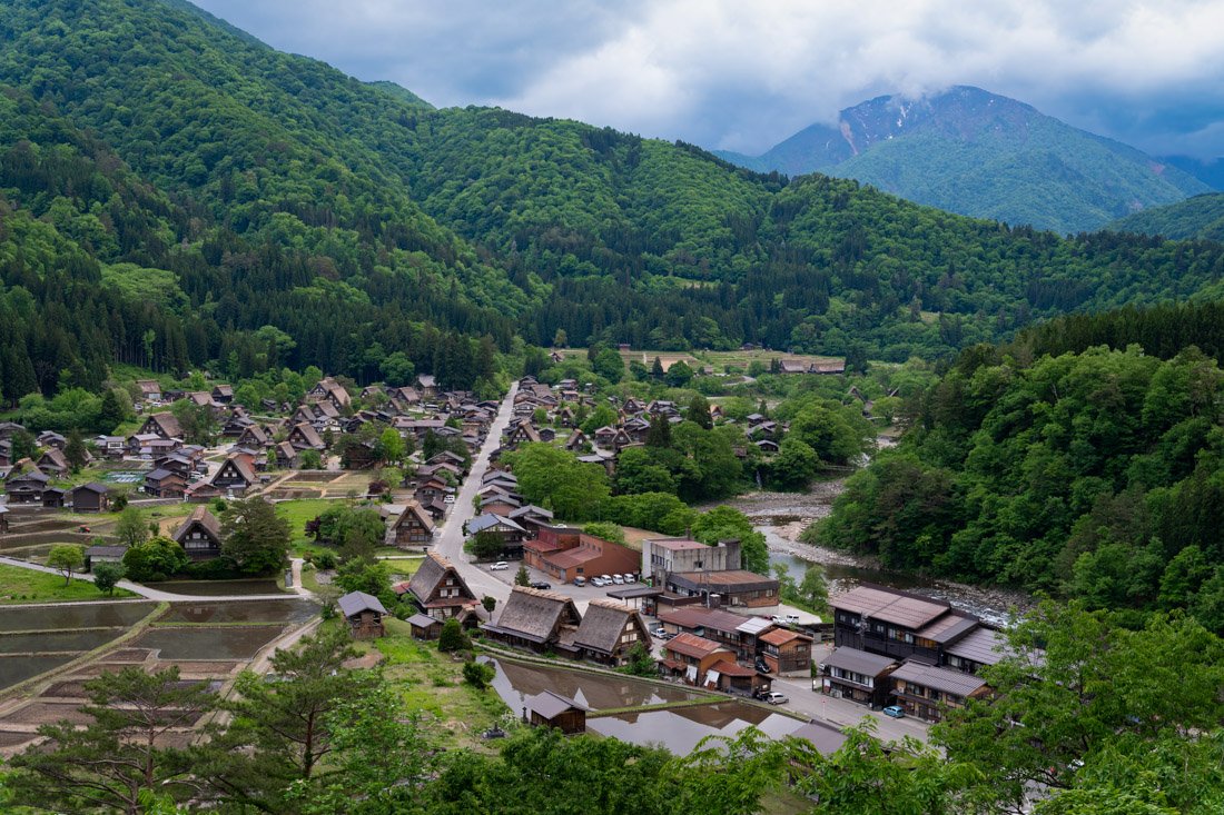
Shirakawa-go.
Where to Stay in Kanazawa?
I stayed at Blue Hour Kanazawa, a very welcoming property just a short walk from the train station. Recommended.
How to Get to Kanazawa?
From Takayama Station (Google Maps), there are frequent train connections with a change in Toyama. Kanazawa is also directly connected to Tokyo by Shinkansen, with a journey time of just two and a half hours. There is also a highway bus connecting Kanazawa directly with Nagoya. Depending on the itinerary you have in mind, this could be an interesting option; you can book through Willer. In the “How to Get Around Japan” section, you will find plenty of other useful information.
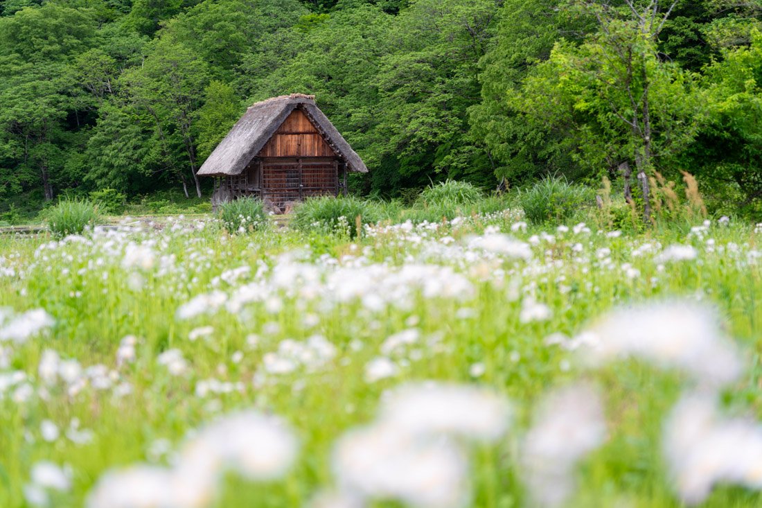
Shirakawa-go.
Tateyama and Nagano
From Kanazawa, I went directly to Sendai, but there are at least two other interesting stops in between. First of all, the Tateyama caldera, which offers some of the most spectacular alpine scenery in Japan and is easily accessible via the fascinating Tateyama-Kurobe Alpine Route. This is considered a special place. Tateyama, or simply Tate, is in fact one of Japan’s three most sacred mountains, together with Fuji and Hakusan. Unfortunately, at 3,015 metres above sea level, there was still too much snow in mid-May for it to be a straightforward hike, but later in the season I think it could be a really interesting stop for mountain enthusiasts and others. Here you can find all the relevant transport information. I had identified this short loop (All Trails), but of course there is no shortage of options.
Another interesting stop could be Nagano. A couple of hours outside the city is the iconic Jigokudani Monkey Park (Google Maps), home to Japanese macaques that became famous for bathing in hot springs in winter to keep warm. I was also recommended Lake Kagami (Google Maps), which is particularly beautiful in autumn with the foliage.
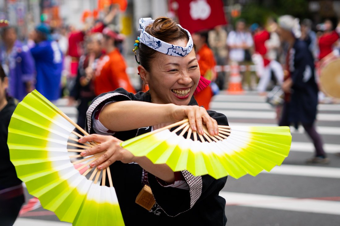
Sendai Aoba Matsuri Festival.
Sendai
Sendai is an excellent stop to break up the journey north, as well as one of my favourite destinations from my entire trip to Japan, thanks to an enormous stroke of luck: I had absolutely no idea it was taking place during those days, but I happened to be in the city during the annual Sendai Aoba Matsuri festival (official website).
What to Do and See in Sendai
Central Sendai
I recommend starting the day with a visit to Ōsaki Hachimangū (Google Maps), a Shinto shrine dating from 1607, built at the request of the powerful feudal lord Date Masamune and today recognised as a National Treasure of Japan for its extraordinary, richly decorated architecture. Admission is free. From there, you could walk towards Rinnoji Temple (Google Maps), a peaceful Buddhist temple known above all for its beautiful Japanese garden with a pond and its tranquil atmosphere. Admission to the garden costs 300 yen.
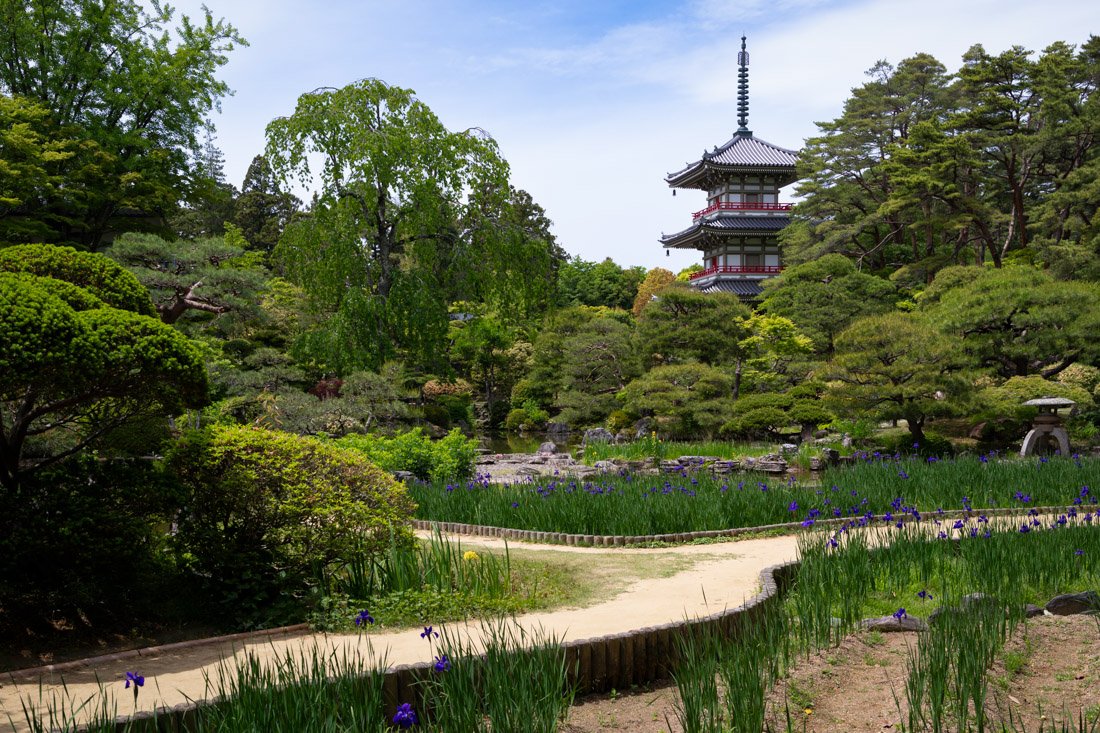
Rinnoji Temple.
Another place that is often recommended is Zuihōden, the mausoleum of Date Masamune (Google Maps), the powerful feudal lord who founded Sendai. I did not visit it, so I cannot comment, but I imagine it could be a fascinating place. Admission costs 570 yen. Nearby there is also the Aoba Castle Museum (Google Maps). Little or nothing remains of the castle and apparently the entire exhibition is only in Japanese, so I skipped it, but I think it is worth mentioning, especially given its proximity to the mausoleum. To end the day, go up to the observation deck of the AER shopping centre (Google Maps). Admission is completely free. Simply take the lift to floor “31F”.
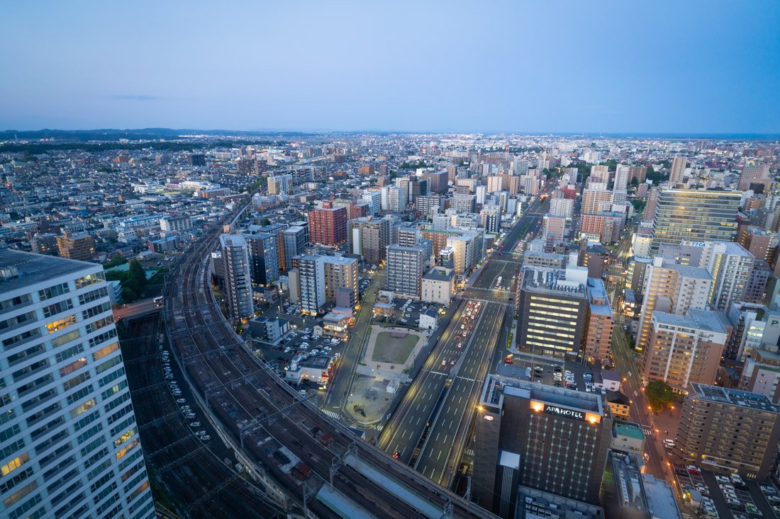
Observation deck of the AER shopping centre.
Matsushima
Matsushima is by far the most popular day trip, famous for its bay dotted with hundreds of small pine-covered islands and the numerous temples and shrines along the coast. I recommend starting the day by taking the train to Matsushimakaigan Station (Google Maps). From here, I went up to Saigyo Modoshi no Matsu Park (Google Maps). It is nothing exceptional, but there are at least a couple of very beautiful views over the bay. If you are interested, there is also a bar with a panoramic terrace. I did not go in, but I imagine it is the ideal place to have a drink and enjoy the view. That said, I am sure it is a much more picturesque place during cherry blossom season, as the park is famous for its roughly 250 cherry trees.
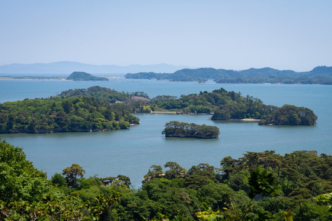
Saigyo Modoshi no Matsu Park.
From the park, I recommend heading down towards Zuigan-ji Temple (Google Maps), one of the most important Zen temples in the region, founded in the 9th century and rebuilt during the Edo period, famous for its elegant wooden buildings, beautiful decorated interiors, and caves carved into the rock. Admission costs 1,000 yen. If you like, you could also visit nearby Entsūin Temple (Google Maps), where admission costs 500 yen. I did not visit it, but the nearby Kanrantei Tea House (Google Maps) is also often recommended. The building is around 400 years old: it was built at the beginning of the Edo period by the feudal lords of Sendai, who used it as a place for recreation and to welcome important guests.
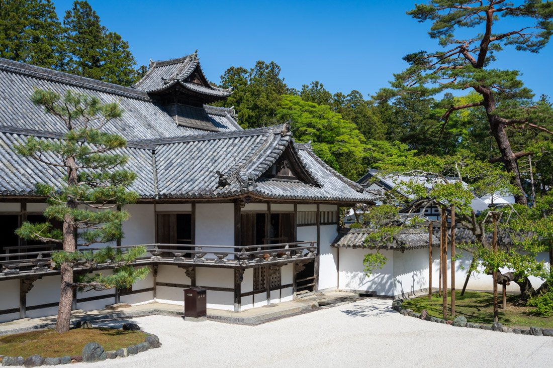
Zuigan-ji Temple.
Then continue towards Fukuurajima Island (Google Maps). They charge 200 yen to cross the bridge, but the island is nice, you can easily walk around it in half an hour, and it offers some interesting views over the bay. End the day with the iconic bay cruise. I recommend the “Basho Cruise” so that you can get off at Shiogama Port (Google Maps) and take the first train back to Sendai from the nearby station (Google Maps). I paid 1,500 yen for the cruise. There is a 10% discount for online bookings. Here you can find the various itineraries, the timetable for the “Basho Cruise”, and the booking link.
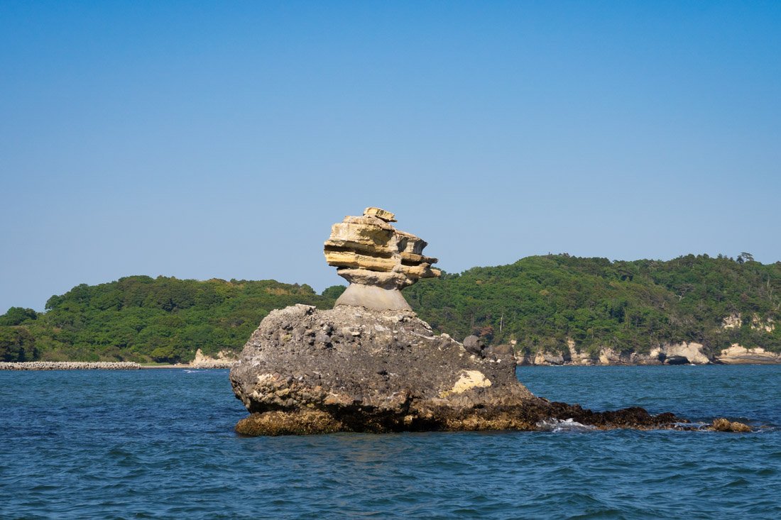
Basho Cruise.
Where to Stay in Sendai?
I stayed at 9h nine hours Sendai, a modern and clean property with a good central location. Overall, I recommend it.
How to Get to Sendai?
If, like me, you are arriving from Kanazawa, the fastest option by far is to take the Shinkansen towards Tokyo, change trains, and board the one heading to Sendai: this takes around 4 hours in total. If you want to save money, however, you can do what I did: take the highway bus from Kanazawa to Niigata, which can be booked online through Willer. Here I spent the night at the Bandai Silver Hotel, practically next to the bus station, and the following morning I took the bus to Koriyama, which again you can book through Willer. From here, depending on the connections, you can continue by train plus bus to Sendai, changing in Fukushima, or vice versa: the cost is practically the same. Take a look at Google Maps using the “Lowest cost” option. In the “How to Get Around Japan” section, you will find plenty of other useful information.
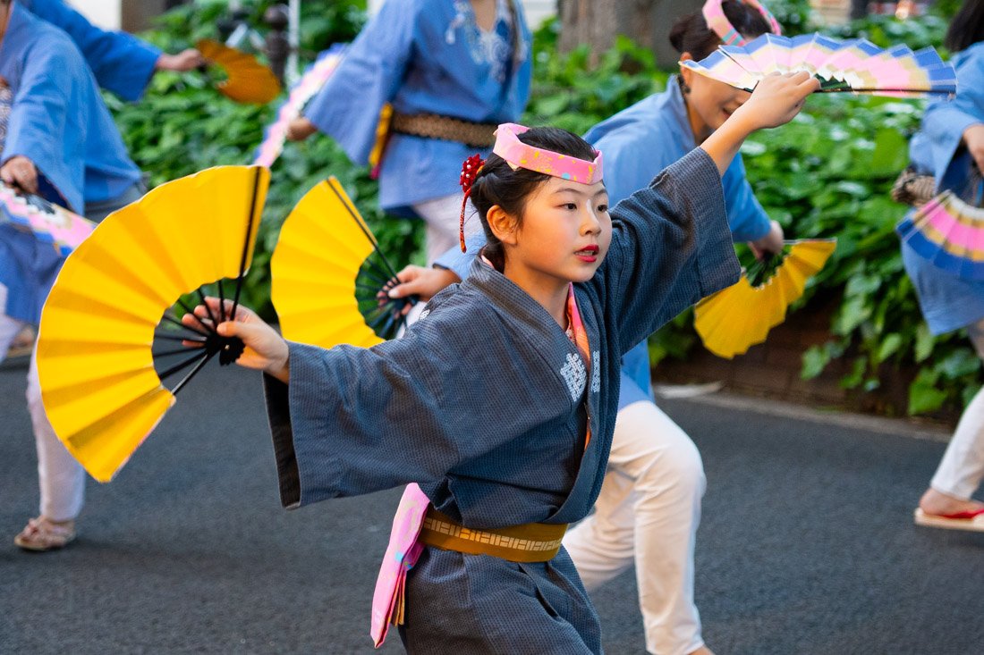
Sendai Aoba Matsuri Festival.
Hirosaki
Hirosaki is a historic city in Tōhoku best known for its castle and spectacular park, considered one of the most beautiful places in Japan to see the cherry blossoms.
What to Do and See in Hirosaki
I visited Hirosaki when cherry blossom season had already ended, and I have to say that although it was a pleasant day overall, if you have limited time, I would probably continue straight to Aomori.
That said, in half a day you can easily visit the castle and its park (Google Maps), the botanical gardens (Google Maps), and Fujita Memorial Garden (Google Maps). In 2015, the castle was literally moved from its original position for restoration work on the walls it stood on, and it is not particularly impressive. It is still a pleasant place, as are the park and botanical gardens, while Fujita Memorial Garden is very well maintained and absolutely worth visiting. The combination ticket for the three attractions costs 520 yen.
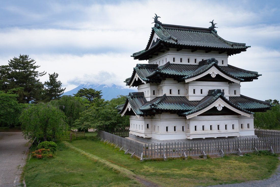
Hirosaki Castle.
Where to Stay in Hirosaki?
I stayed at the Tabist Hirosaki Touei Hotel, which was the cheapest option during my visit. Nothing exceptional, but I have nothing to complain about either.
How to Get to Hirosaki?
Arriving from Sendai, you could take the Shinkansen, but if, like me, you prefer to spend half as much, there are several daily departures by highway bus from Miyagi Kotsu Sendai Highway Bus Center (Google Maps) to Hirosaki Bus Terminal (Google Maps), which you can book on this page. Timetables are also available on Google Maps. In the “How to Get Around Japan” section, you will find plenty of other useful information.
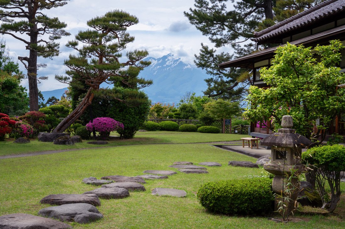
Fujita Memorial Garden.
Aomori
This port city was once the main departure point for reaching Hokkaido by ferry. Although it remains an important ferry port, the opening of the Seikan underwater railway tunnel in 1988 and the arrival of low-cost flights have reduced passenger numbers.
Nowadays, Aomori is best known for the lively Nebuta Matsuri (official website), one of Japan’s most spectacular summer festivals, famous for enormous illuminated lanterns depicting historical figures, warriors, and mythical characters, which parade through the streets accompanied by traditional music and dancing.
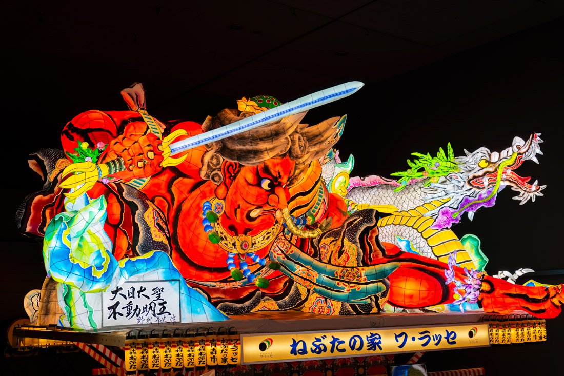
Nebuta Museum WA RASSE.
What to Do and See in Aomori
Beyond the festival, the city does not have much to offer the average tourist. Again, if you have limited time, I would probably go directly to Hokkaido, particularly if you are willing to take the Shinkansen. Otherwise, you could spend half a day here and then take the ferry to Hakodate in the morning.
That said, if you have a few hours to spend in the city, I recommend visiting the Nebuta Museum WA RASSE (Google Maps), the museum dedicated to the Nebuta Matsuri festival, where you can admire some of the enormous illuminated lanterns used in previous festivals. A free audio guide is available; bring headphones. Admission costs 620 yen. If you like, you can buy a combination ticket that includes a visit to the maritime museum (Google Maps) and access to the observation deck of the tourist information office (Google Maps). This ticket should cost 1,300 yen. I only entered the Nebuta WA RASSE museum because it was already late, but if you have a few more hours, I think it is definitely worth paying for the combination ticket. Finally, you could visit the Aomori Gyosai fish market (Google Maps). What makes this fish market special is a system that allows visitors to create their own seafood donburi (called nokkedon) using local products sold right at the market.
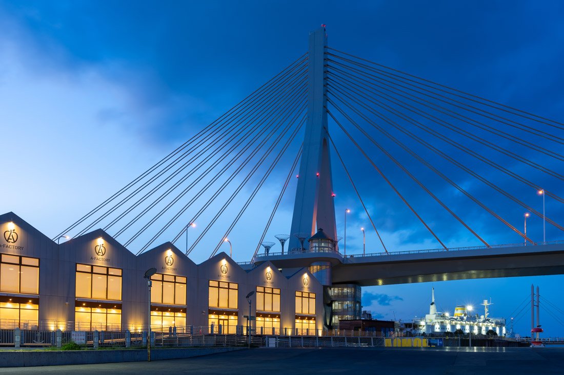
Where to Stay in Aomori?
I stayed at Iroha Ryokan, which was by far the cheapest option during my visit. Clean property, excellent location, and a very kind and friendly owner. Recommended.
How to Get to Aomori?
From Hirosaki Station (Google Maps), you can simply take the train along the Ou Line to Aomori Station (Google Maps). Departures are very frequent. In the “How to Get Around Japan” section, you will find plenty of other useful information.
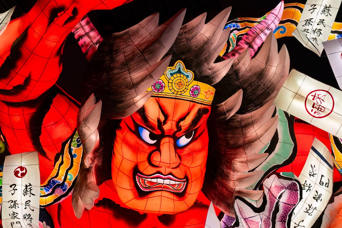
Nebuta Museum WA RASSE.
HOKKAIDŌ
Hokkaidō is Japan’s northernmost island and one of the most popular among lovers of nature and unspoilt landscapes. Less urbanised than Honshū, it offers vast open spaces, mountains, lakes, and national parks that change with each season: from the summer lavender fields of Furano to the spectacular winter snowfalls of Sapporo and Niseko. The island is also renowned for its cuisine, particularly fresh fish, seafood, and dairy products. Hokkaidō is an ideal destination for those looking for a more authentic and peaceful side of Japan, away from the major cities while still being well connected to the rest of the country.
Hakodate
For years, Hakodate, with its port, was the main gateway for anyone wanting to reach Hokkaidō. However, the city lost some of its importance with the opening of the underwater railway tunnel and the arrival of low-cost flights, just like Aomori on the other side of the strait.
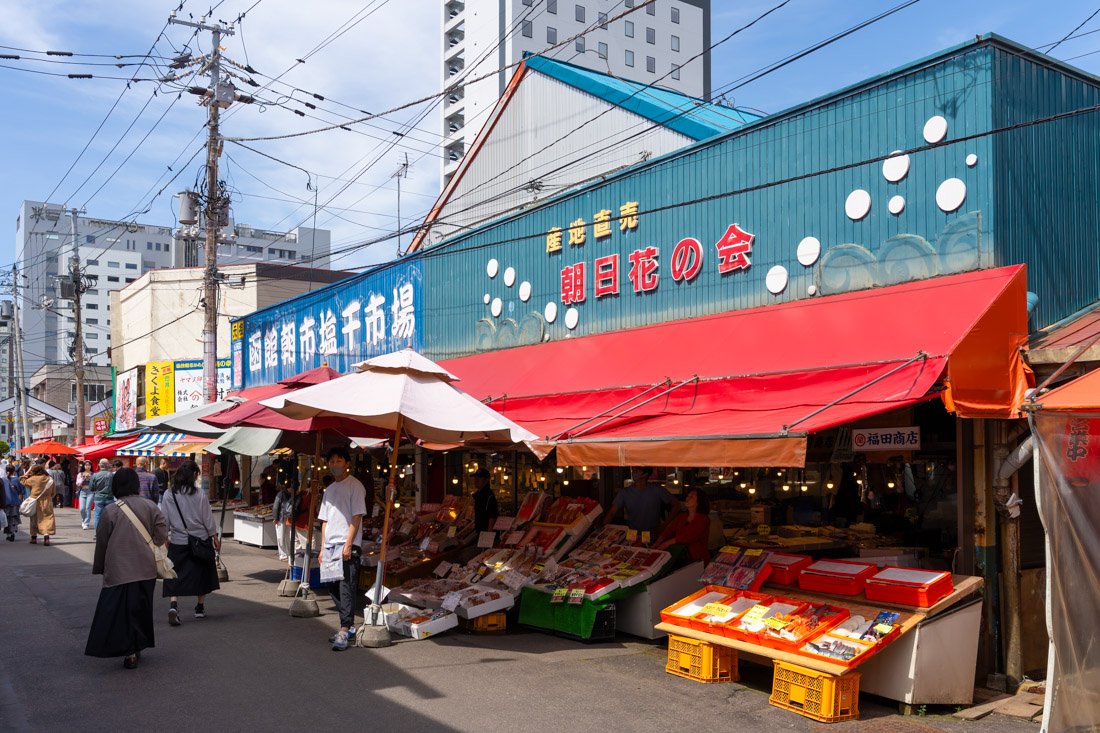
Hakodate Morning Market Square.
What to Do and See in Hakodate
I recommend starting the day at Hakodate Morning Market Square (Google Maps). It is very touristy, but it is still worth walking around and perhaps eating something; prices are not excessive. From here, you could head towards Goryokaku Tower (Google Maps), which offers excellent views of Goryōkaku Fort with its iconic star shape and the city. Admission costs 1,200 yen. If you are on a limited budget, I do not think it is a must-see unless the park below, with its roughly 1,500 cherry trees, is in bloom: in that case, I think it is definitely worth going up. Peak bloom usually occurs in early May. I then recommend walking through the park itself (the fort was turned into a public park in the early 20th century). Inside there is also the Hakodate Magistrate’s Office (Google Maps), a reconstruction of the former shogunate government office in Hakodate. I did not go inside, so I cannot comment. Admission costs 500 yen.
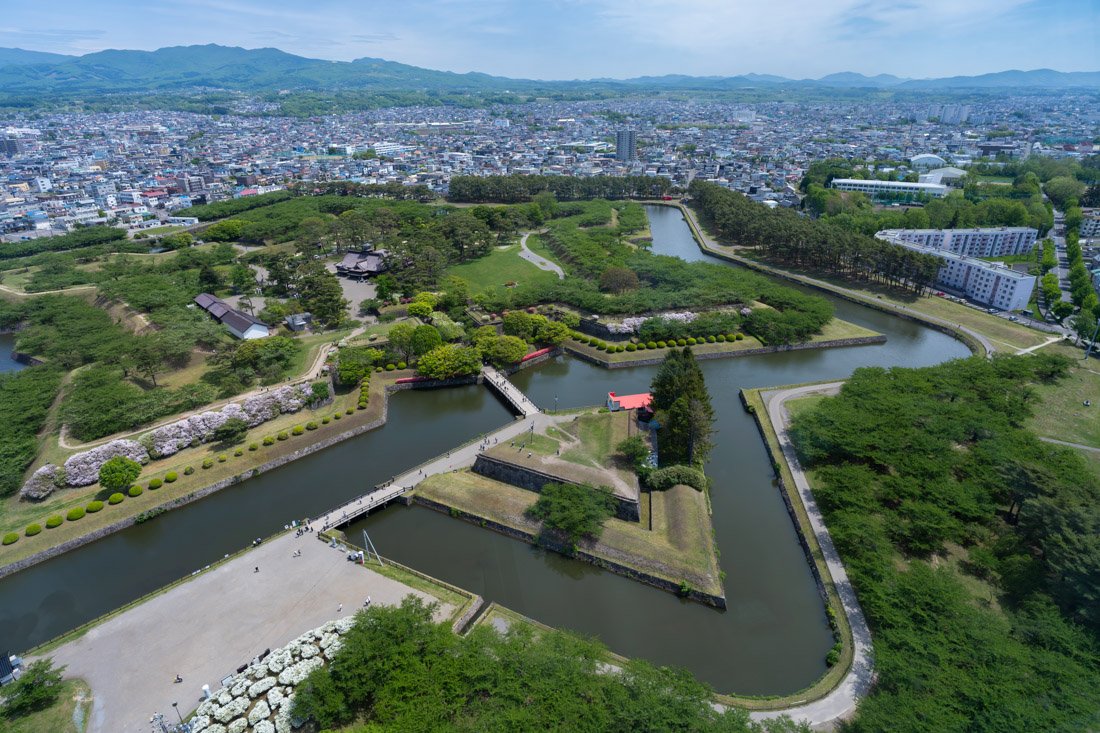
View from Goryokaku Tower.
In the afternoon, I recommend walking around the Motomachi district (Google Maps). Hakodate was one of the first Japanese ports to open to international trade, in 1859. As a result, many merchants and entrepreneurs from Russia, China, and Western countries moved to the city, and Motomachi became one of the areas where the new foreign residents were concentrated. Even today, the district retains numerous buildings and places of worship that reflect this meeting between Japanese and Western cultures. Among the most famous are the Russian Orthodox Church (Google Maps), the former British Consulate (Google Maps), the former prefectural government office (Google Maps), and the Old Public Hall of Hakodate (Google Maps).
End the day with sunset from the top of Mount Hakodate (Google Maps). To walk up, I recommend the Kyutozando trail, which begins from the car park at this point (Google Maps). It is easy to follow and is mapped on Organic Maps, as well as on AllTrails. If you do not feel like walking, you can simply take the cable car (Google Maps). In any case, although the view is fascinating, even on a weekday in late May there was an absolute mess of people at sunset: literally busloads of tourists. If you are looking for a bit of peace, you can descend towards the Second World War artillery battery (Google Maps). The view is not quite as beautiful, but there are still more than a couple of interesting viewpoints and, at least in my case, there was no one else around.
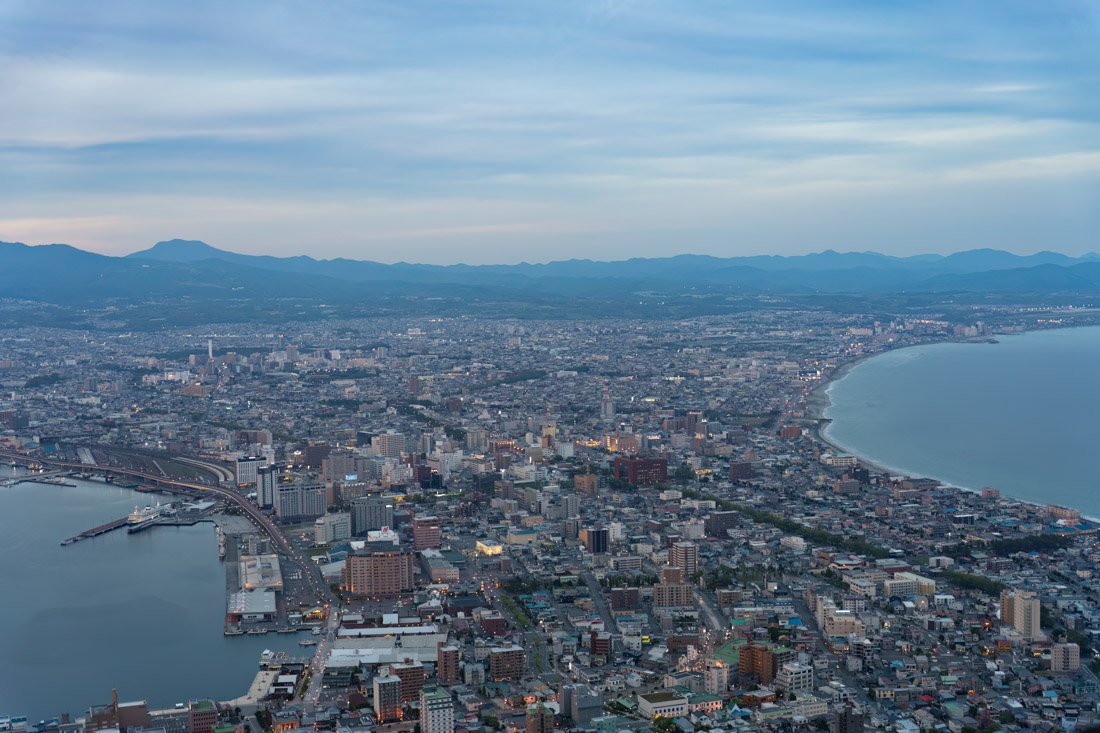
Mount Hakodate.
Onuma Quasi-National Park
Ōnuma Quasi-National Park (Google Maps) is a natural area at the foot of Mount Komagatake, characterised by lakes, islets, forests, and scenic trails, particularly beautiful in autumn when the vegetation turns red and yellow. As the name suggests, it is not a full national park, but it is still an area of significant natural interest. I did not visit because my Hokkaidō itinerary was already far too packed, but I am sure it could be a nice day trip from Hakodate, being only half an hour away by train. From the train station, you can complete short walking trails or rent a bicycle. To be safe, you can always stop by the visitor centre (Google Maps).
Where to Stay in Hakodate?
I stayed at GUEST HOUSE HAKODATE BAY, which I believe was the cheapest option available during my visit. Nothing particularly good or bad, and a good location.
How to Get to Hakodate?
As mentioned, arriving from Aomori, the cheapest option for reaching Hakodate is the ferry. Two companies operate the route: Tsugaru Kaikyō Ferry (official website) and Seikan Ferry (official website). The journey takes about 4 hours. I travelled with Tsugaru Kaikyō Ferry, paying 2,860 yen in late May, which was still low season. The ticket can be booked online, although I went directly to the port and the ferry was practically empty. Moreover, the standard ticket does not assign you a seat, but rather access to rooms where you can lie down. If you want an actual chair, then it may make sense to book in advance. Direct buses to the city centre depart from Hakodate Port, with timetables coordinated with ferry arrivals. The alternative is to take the Shinkansen, which passes through the underwater railway tunnel. This option costs more than twice as much as the ferry, while saving around two hours of travel time. In the “How to Get Around Japan” section, you will find plenty of other useful information.
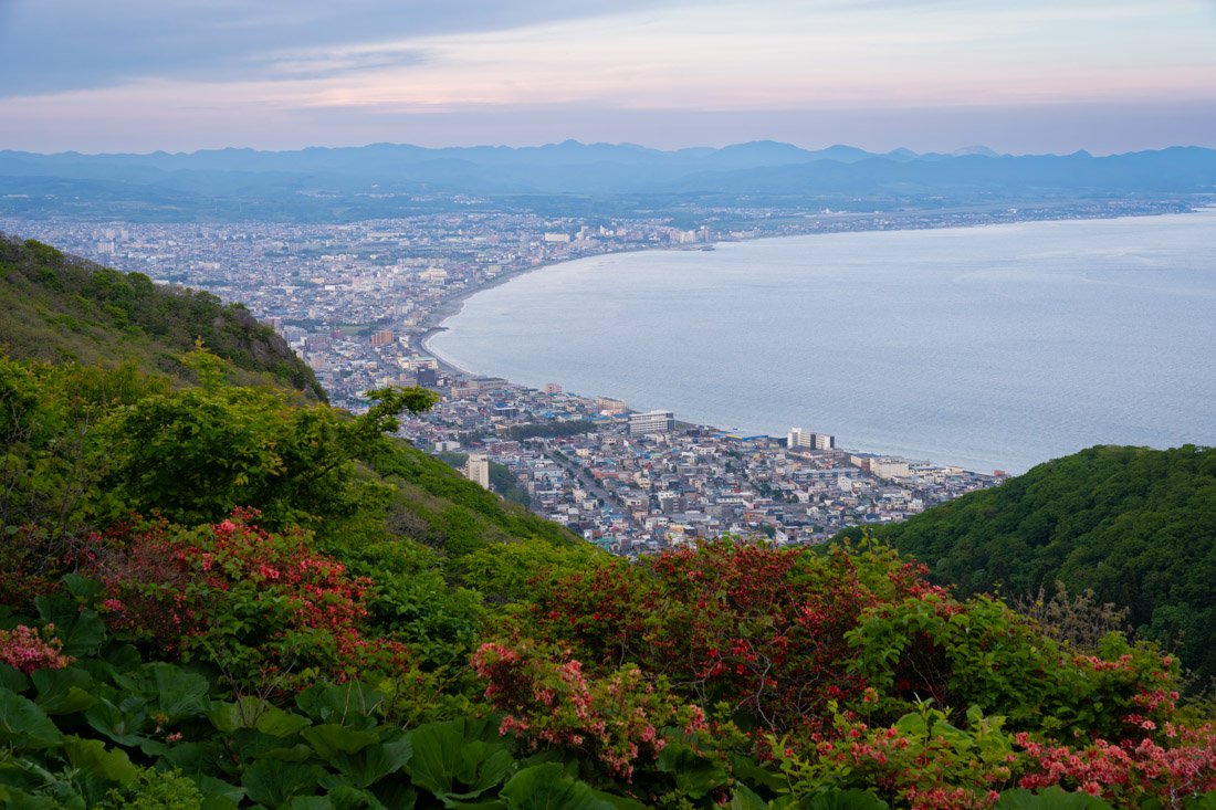
Lake Toya
Lake Toya is a beautiful volcanic lake, famous for its clear waters, numerous hot springs, and views of Mount Usu and Mount Yōtei.
What to Do and See at Lake Toya
I recommend starting your visit at the Toyako Visitor Center (Google Maps), where you will find a nice exhibition, completely free of charge, dedicated to the flora, fauna, and geological history of the area. It is an excellent starting point for better understanding Shikotsu-Tōya National Park and the distinctive natural environment surrounding the lake. There is also an attached museum, which I did not enter, so I cannot comment. Admission costs 600 yen. Several hikes start from the visitor centre. Personally, I wanted to climb to the crater of Mount Usu (Google Maps), but during my visit it was closed to the public because the volcano was particularly active at the time. Officially, the trail to reach the crater starts from the cable car (Google Maps). You can therefore use it to go up or down and save yourself much of the elevation gain: once you reach the crater, you can simply follow the scenic trail along the rim, which you can also find on AllTrails.
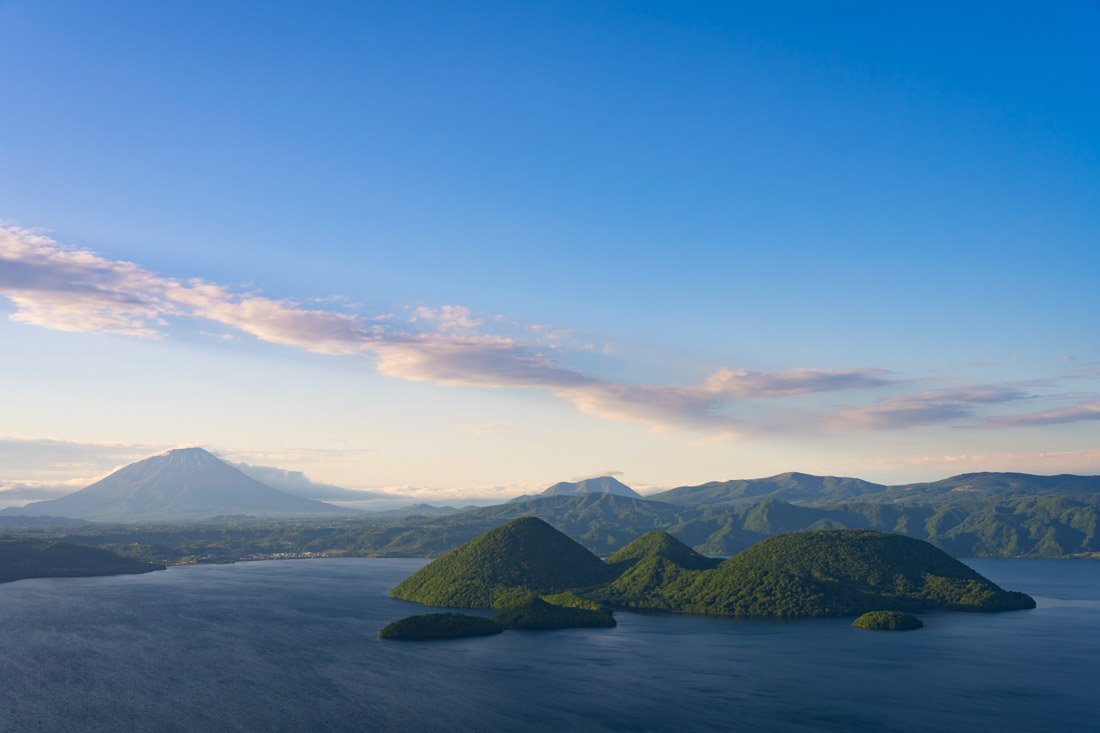
Lake Toya.
There also seems to be a trail on the northern side, mapped on Organic Maps, that joins the crater route roughly at this point (Google Maps). I did not walk it personally, so I cannot tell you how practical it actually is. Since the crater was closed, I ended up walking somewhat randomly up to this point (Google Maps), from where there is a beautiful view over the lake. A shorter alternative is the Kompira Crater Walking Trail (Google Maps), which allows you to see the damage caused by the 2000 eruption up close. You can then continue at least as far as Yu-kun Crater (Google Maps).
Another option is to take a boat trip on the lake: departures are frequent from the pier at this point (Google Maps). If you like, you can also get off on Nakajima Island (Google Maps) and explore it on foot by following the trail shown on AllTrails. I did not visit, but I think it could be a nice way to spend a day. Cycling enthusiasts, on the other hand, can ride all the way around the lake. Finally, during the summer, fireworks are held over the lake every evening at 20:45. I therefore recommend heading to the shores of Lake Tōya and enjoying the show!
Fireworks over the lake.
Where to Stay at Lake Toya?
I stayed at Toyako Guest House Ponkotan, a very well-kept, clean, and comfortable hostel. Recommended.
How to Get to Lake Toya?
Take the train from Hakodate Station (Google Maps) to Tōya Station (Google Maps). From here, there are frequent bus connections to Toyako Onsen Bus Terminal (Google Maps). In the “How to Get Around Japan” section, you will find plenty of other useful information.
Noboribetsu
Noboribetsu is one of Hokkaidō’s most famous hot spring resorts, best known for Jigokudani, the striking “Hell Valley” with fumaroles, sulphurous springs, and volcanic landscapes.
What to Do and See in Noboribetsu
If you are staying in Noboribetsu itself, take the bus to Noboribetsu Onsen (Google Maps). From here, I recommend this walking itinerary: first reach Hell Valley (Google Maps), enjoy the surreal landscape, and then continue towards Lake Oyunuma (Google Maps). I actually made a detour along the road first to Lake Kuttara (Google Maps), but I am not convinced it is particularly worth it, especially if you do not feel like walking too much. I strongly recommend, however, soaking your feet at the Oyunuma River Natural Footbath (Google Maps): in the late afternoon there was practically no one there and I really enjoyed it. Before or after all this, if you are interested, you can take the cable car (Google Maps) up to Noboribetsu Bear Park (Google Maps), which is home to numerous Hokkaidō brown bears. Apparently, there are also some beautiful viewpoints overlooking Lake Kuttara. I did not visit, so I cannot comment personally.
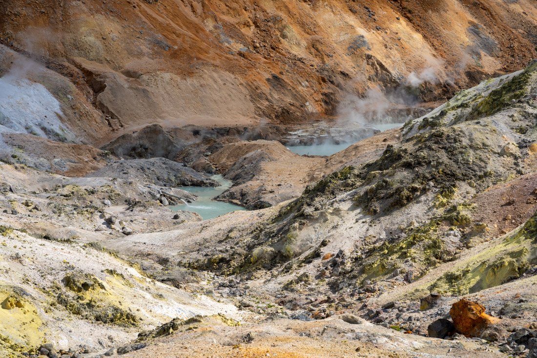
Hell Valley.
The same applies to Noboribetsu Date Jidai Village (Google Maps), a theme park recreating an Edo-period village, with traditional buildings, samurai and ninja shows, and various themed activities. Personally, this kind of attraction gives me a certain sense of artificiality that I do not particularly enjoy, but I mention it because it may still be interesting to some people. Finally, you could end the day at Dai-ichi Takimotokan (Google Maps), which is home to the largest hot spring complex in Hokkaidō. From what I was told, it is possible to buy a day pass and access the onsen even without staying at the hotel. Alternatively, there are numerous other onsen in town.
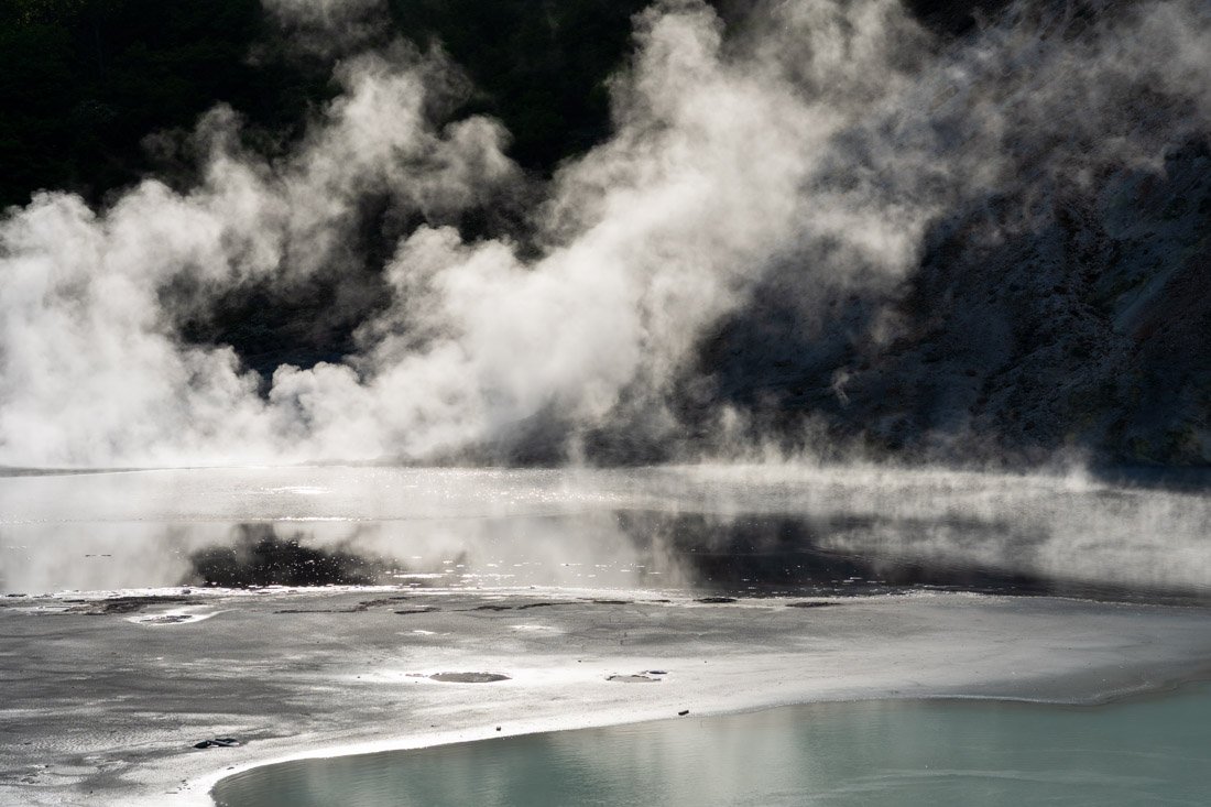
Lake Oyunuma.
National Ainu Museum (Upopoy)
The National Ainu Museum (Google Maps) is Japan’s main national museum dedicated to the history, language, and culture of the Ainu, the indigenous people of Hokkaidō. I found it really nice and interesting: the complex is divided into several areas and also includes a reconstruction of a traditional village. There is also a cultural centre, where numerous performances are held every day, ranging from traditional music and dance to documentaries, workshops, and other activities. In short, there is a bit of everything. Admission costs 1,200 yen. I visited it as a day trip from Noboribetsu, but you can also leave your luggage in the lockers at Shiraoi Station (Google Maps), visit the museum, and then continue directly towards Sapporo.
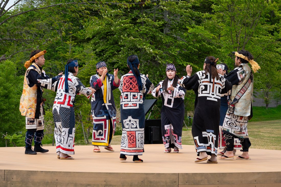
National Ainu Museum (Upopoy).
Where to Stay in Noboribetsu?
I stayed at Noboribetsu Guest House AKA & AO and I recommend it. An excellent hostel just a short walk from the train station.
How to Get to Noboribetsu?
Arriving from Hakodate or Tōya, take any train heading to Noboribetsu Station (Google Maps). In the “How to Get Around Japan” section, you will find plenty of other useful information.
Sapporo
Sapporo is the capital of Hokkaido and the fifth-largest city in Japan. It is also one of the country’s youngest cities: in 1869, when the city’s development officially began, it had just seven inhabitants! Sapporo became famous around the world in 1972, when it hosted the Winter Olympic Games. Today, the city is best known for its ramen, beer, and annual Snow Festival, held every February.
What to Do and See in Sapporo
Compared with Japan’s other major cities, in my opinion Sapporo, although pleasant, does not have a huge amount to offer tourists, especially because it is a relatively recent city from a historical point of view. That said, you can easily spend a couple of days here, also because it is effectively an essential stop for most travel to and from Hokkaidō. Most attractions are outside the city, but I recommend taking at least a short walk around the centre near Odori Park (Google Maps) and the iconic Clock Tower (Google Maps).
Moerenuma Park.
Moerenuma Park
Moerenuma Park (Google Maps) is a large art park on the outskirts of Sapporo, designed by artist and architect Isamu Noguchi, where broad green spaces, installations, and geometric structures blend into a single landscape. I found it a really pleasant place, perfect for walking around and spending a few hours. The fountain puts on several shows throughout the day. Nothing exceptional, but it can be useful to check the times before your visit. Here you can find a photo with the schedule.
You can also rent bicycles at the entrance to the park (Google Maps). I explored it entirely on foot without any problems. There are also lots of cherry trees, so I imagine the park becomes even more picturesque during cherry blossom season.
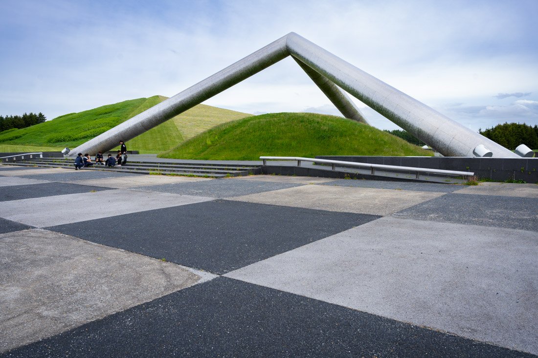
Moerenuma Park.
Hill of the Buddha
Hill of the Buddha (Google Maps) is a striking Buddhist complex on the outskirts of Sapporo, designed by architect Tadao Andō. The highlight is the monumental Buddha statue, which emerges from a lavender-covered hill, creating a truly scenic landscape when the flowers are in full bloom.
I visited when the lavender had not yet bloomed, so the atmosphere was probably less spectacular, but I still found the visit pleasant. That said, do not expect an attraction packed with things to see: apart from the Buddha statue and some monoliths reminiscent of those on Easter Island, there is not much else, and if you want, the visit can easily be completed in about ten minutes. In short, it depends on how interested you are in this kind of place. I paid 300 yen for admission. There is a bus stop in front of the entrance (Google Maps), but services are not particularly frequent, so check the timetable and plan accordingly.
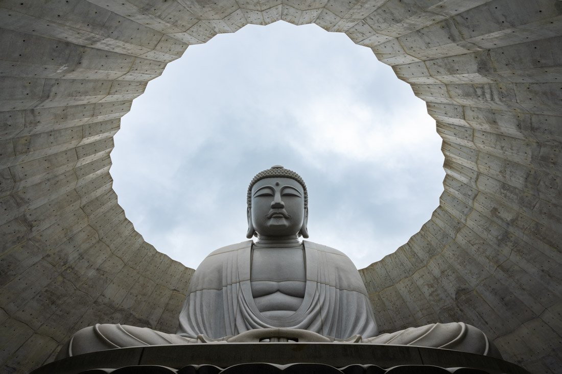
Hill of the Buddha.
Mount Moiwa
Mount Moiwa (Google Maps) is one of Sapporo’s most famous mountains, also accessible by cable car and best known for its spectacular view over the city, which is particularly beautiful at sunset and at night. As always, I walked up: the shortest trail starts from this point (Google Maps) and is really easy to follow. It is about 3 km with 500 metres of elevation gain, so nothing particularly demanding. Alternatively, you can take the cable car (Google Maps).
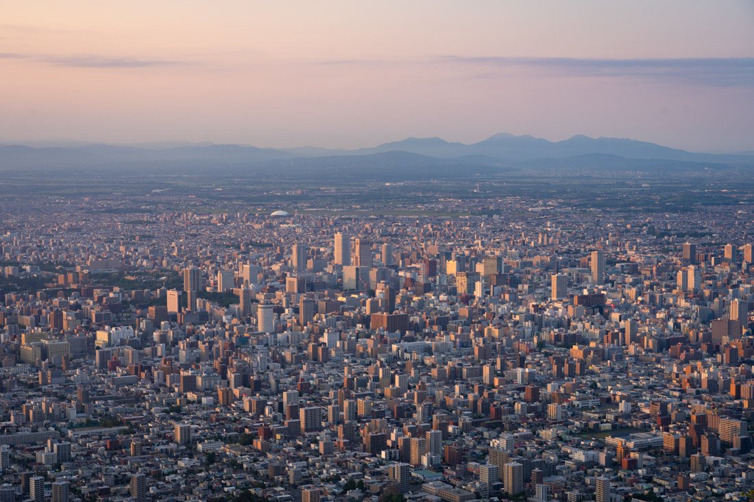
Mount Moiwa.
Historical Village of Hokkaido and Museum
The Hokkaidō Museum (Google Maps) tells the story of Hokkaidō’s history and nature and is located about a ten-minute walk from the nearby open-air museum. The exhibition is organised around five main themes, including Ainu culture, the history of the island, and its wildlife. Having already visited the National Ainu Museum (Upopoy), I preferred to spend my time elsewhere, although it is worth pointing out that this museum offers a much broader overview, focusing on the entire history of Hokkaidō rather than only on the Ainu. If you decide to come this far, many people also recommend visiting the nearby Historical Village of Hokkaidō (Google Maps). The open-air museum includes around 60 buildings from different parts of the island, dating mainly from the Meiji and Taishō periods (1868–1926), when the development of Hokkaidō was carried out on a large scale. The village is divided into four areas: a town, a fishing village, a farming village, and a mountain village. If you decide to visit both attractions, it is worth buying the combination ticket.
Shiroi Koibito Park
Shiroi Koibito Park (Google Maps) is a theme park dedicated to the famous Shiroi Koibito chocolate, where you can visit the factory, discover the history of the brand, and walk among European-style buildings and gardens. I arrived too late for the factory visit: the last admission is at 16:30, so I simply walked around the outdoor gardens. Nice, but nothing exceptional. I imagine, however, that if you are interested in the factory visit and the production process, the experience is much more complete. You can find all the information, including opening hours and prices, on the official website, where you can also buy tickets in advance.
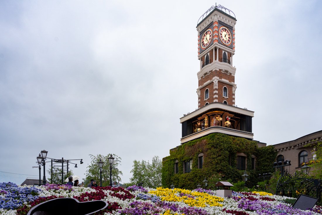
Shiroi Koibito Park.
Snow Festival
The Sapporo Snow Festival is held every year in February for about a week. It is one of Japan’s most popular winter events. The festival began in 1950, when some high school students built snow statues in Odori Park. Since then, it has grown into a huge international event, famous for spectacular snow and ice sculptures that attract millions of visitors every year. If you happen to visit Hokkaidō during this period, I think it is absolutely worth stopping by!
Otaru
Otaru (Google Maps) is a picturesque port city about an hour by train from Sapporo, famous for its historic canal (Google Maps), steam clock (Google Maps), and Western-style buildings. I did not visit due to lack of time, but it seems to be a fairly popular day trip using Sapporo as a base. Whisky enthusiasts can also visit the Nikka Whiskey Yoichi Distillery (Google Maps). You could also go to the top of Mount Tenguyama (Google Maps), which offers excellent views over the city with the ocean in the background. Of course, as often happens in Japan, there is the option of taking the cable car (Google Maps). Finally, if you happen to visit the region in February, take a look at the dates of the Otaru Snow Light Festival. During the festival, central Otaru is illuminated by thousands of candles and lanterns.
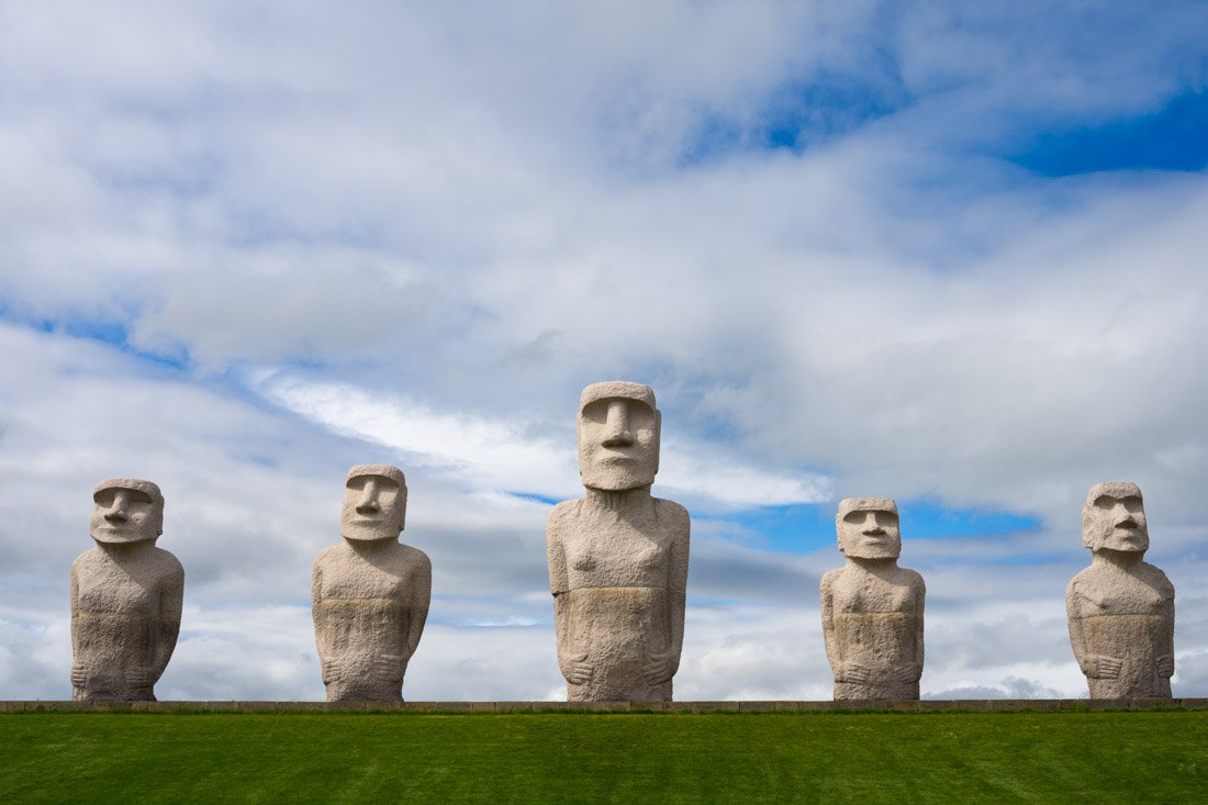
Hill of the Buddha.
Where to Stay in Sapporo?
I stayed in three different hostels during my two stays in Sapporo: HELIO HOSTEL SAPPORO is probably my favourite, with a modern and clean environment and an excellent, very central location; EZO Run Sapporo, although less polished, offers a more relaxed atmosphere, almost as if you were staying at someone’s home; The Stay Sapporo, although a good hostel, was the one I liked the least.
How to Get to Sapporo?
Sapporo serves as the public transport hub for the entire island of Hokkaido. From here, there are essentially direct train and bus connections to all the main destinations on the island. In addition, New Chitose Airport (Google Maps) has several daily connections to all the country’s main cities as well as plenty of international destinations. To reach it from the centre, if you want to save some money, I recommend taking the New Chitose Airport Limousine Bus (you can pay with an IC card on board) instead of the train. You can also find the timetable on Google Maps. In the “How to Get Around Japan” section, you will find plenty of other useful information.
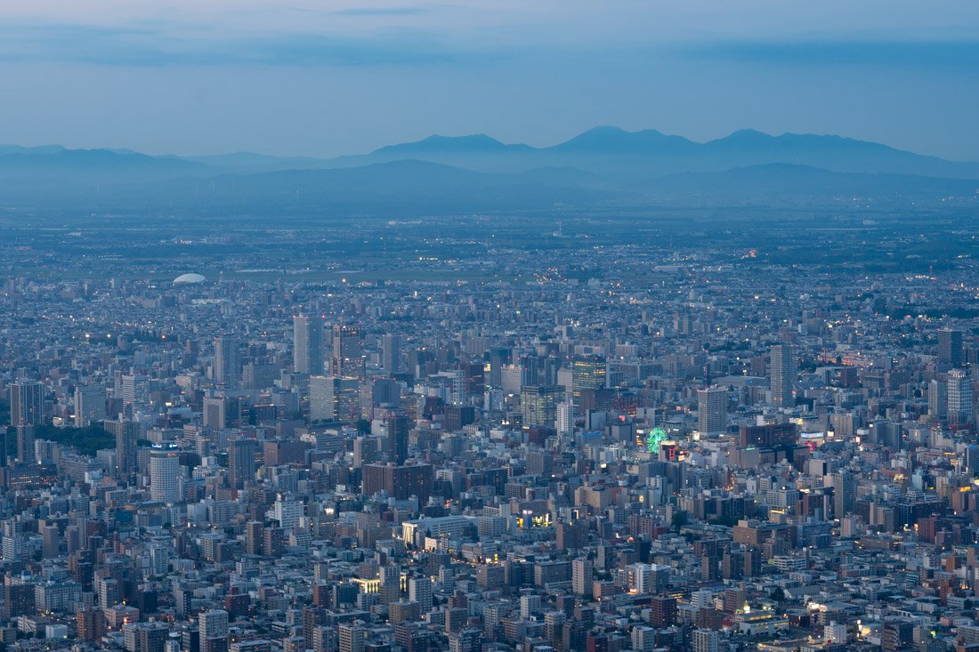
Mount Moiwa.
Furano
Furano is a small city in Hokkaidō surrounded by hills and countryside, best known for its vast lavender fields and beautiful rural landscapes, which are at their most spectacular in summer when the lavender and other flowers are in bloom.
What to Do and See in Furano
There is not exactly much to do in the city centre. To make getting around more efficient, I did the following while carrying my backpack with me, essentially visiting the various attractions as I made my way towards Asahikawa. If you want, you could do the same using the lockers at the stations or, alternatively, simply return to Furano at the end of the day. From Furano Station, take the train to Naka-Furano Station (Google Maps). There are lockers here as well, but you will need to walk about 2 km to reach Farm Tomita (Google Maps). During the high season, however, the train also stops at Lavender-Farm Station (Google Maps), right in front of the farm. Be aware, though: there are no lockers here.
Farm Tomita.
Farm Tomita is one of Furano’s most famous attractions, known above all for its spectacular lavender fields, which in summer turn into a true sea of colours and scents. Even at the end of May, however, several other flowers were in bloom, and I found it a nice place to visit. At least during my visit, admission was free. Keep an eye on the train schedules and try to organise yourself so that you are back at the station in time to catch a train to Bibaushi Station (Google Maps). For reference, I do not think there were any lockers here.
From the station, I then walked to Shikisai-no-oka (Google Maps), a vast flower park famous for its colourful fields arranged across gentle hills, which in summer create one of Hokkaidō’s most iconic landscapes. Admission is charged only from July to September. A slightly closer alternative to the station is Kanno Farm (Google Maps). I did not visit it, but I think it offers a fairly similar experience. From here, I then took the first train to Asahikawa Station (Google Maps).
If you want, Shirogane Blue Pond (Google Maps) is also along the way and can be reached by public transport, but logistically it becomes rather complicated. I skipped it, but especially if you have a car, it might be worth considering. Sticking with hiking, you could also consider the Mount Tokachi–Mount Biei loop (AllTrails). It looks like a really nice hike, but, as just mentioned, it is not easy to do using public transport alone.
Shikisai-no-oka.
Where to Stay in Furano?
I stayed at Hostel Tomar, probably one of the best hostels of my entire trip to Japan. The interiors are very well maintained and clean. Highly recommended.
How to Get to Furano?
If you are arriving from Sapporo, I recommend taking the Highway Furano Go bus. It makes a couple of stops in the city and, if you are staying in the centre, the most convenient is probably Hokkaido Chuo Bus Sapporo Terminal (Google Maps). If you want, you can pay directly on board with an IC card. The bus also appears on Google Maps when using the public transport function. In the “How to Get Around Japan” section, you will find plenty of other useful information.
Furano.
Asahikawa and Daisetsuzan National Park
Asahikawa is the second-largest city in Hokkaidō and an excellent base for exploring the centre of the island, particularly nearby Daisetsuzan National Park.
What to Do and See in Asahikawa
I limited myself to visiting the national park, but if you are looking for something to do in the city, the zoo is often recommended (Google Maps).
Daisetsuzan National Park
Daisetsuzan National Park is the largest national park in Japan: an immense wilderness of volcanic mountains, forests, and alpine landscapes. It was one of my favourite places of the entire trip. I recommend taking the first bus in the morning, which during my visit departed at around 7:00, depending on the stop you board at. The schedules also appear on Google Maps, and the final destination is the Asahidake Visitor Center (Google Maps). At least during my visit, it was only possible to pay in cash.
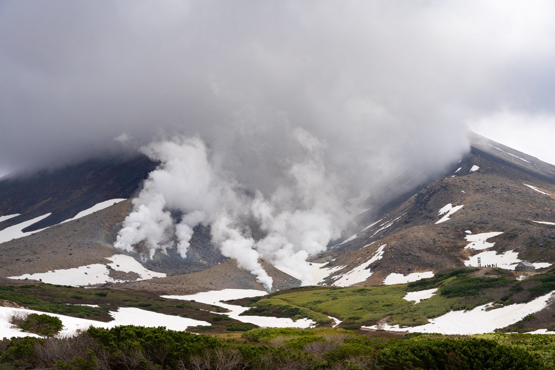
Mount Asahidake.
Once you arrive at the visitor centre, you have several options. The easiest is to take the cable car (Google Maps). From the upper station, you can reach the summit of Mount Asahidake (Google Maps) with around 700 metres of elevation gain. The trail is really easy to follow, but you can also find the route on AllTrails. If even that seems too demanding, you can simply walk around the cable car station, where you will find a few ponds and several viewpoints.
If, on the other hand, you decide to climb to the summit of Mount Asahidake, I recommend not returning via the same trail and instead completing the loop described on AllTrails. I found it really enjoyable: fantastic views, very few people, and even natural hot springs where you can soak your feet. Be careful, however, about trail conditions. During my visit, in early June, there was still quite a lot of snow, especially on the northern side of Mount Asahidake. I did not encounter any particularly dangerous or exposed sections, but it is definitely something to keep in mind and check before setting out.
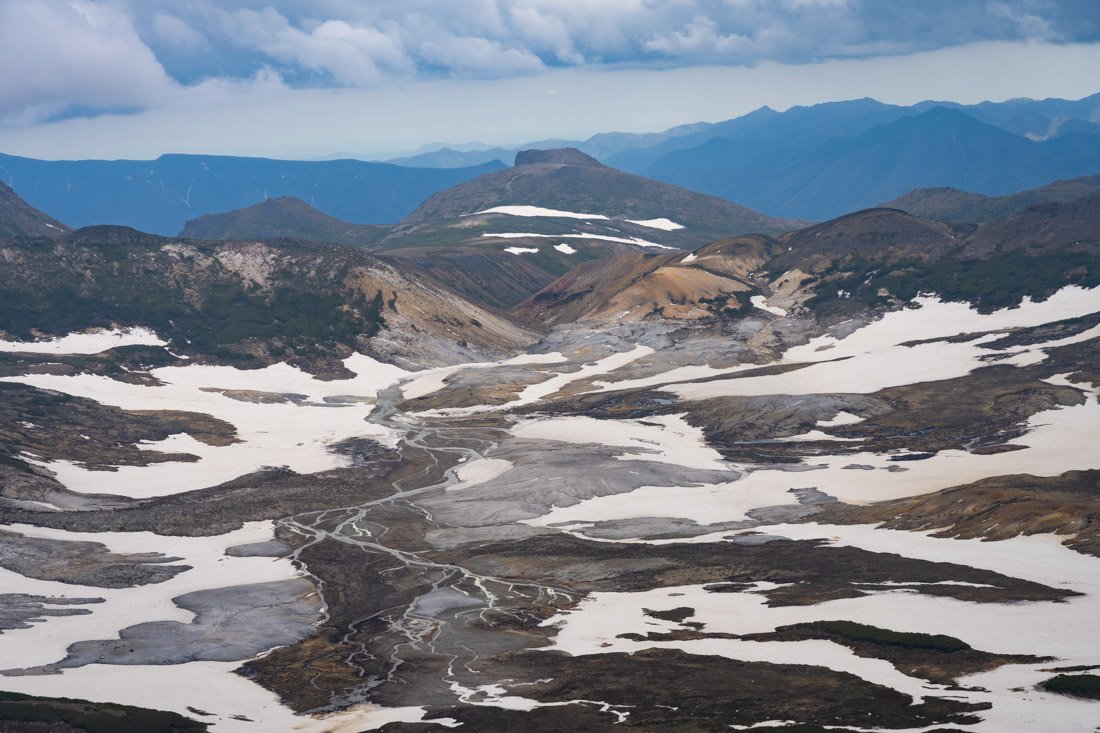
Daisetsuzan National Park.
Finally, if, like me, you refuse to take the cable car, you can hike up from the visitor centre. The trail is clearly marked on Organic Maps and is easy to follow, but it adds another roughly 500 metres of elevation gain. Hiking both up and down, as well as completing the loop described above, makes for quite a demanding day. I got back just in time to catch the last bus of the day, which during my visit departed at 15:40.
Where to Stay in Asahikawa?
I stayed at Asahikawa Ride. Although the property is not exactly modern, the hostel is very comfortable and well located in relation to the train station. The owner is really friendly and kind. Recommended.
How to Get to Asahikawa?
If you are arriving from Furano, you can simply take the train to Asahikawa Station (Google Maps) as described above. If, on the other hand, you are arriving directly from Sapporo, the highway bus, although a little slower, costs about half as much. If you are staying in the centre, the most convenient stop is probably Hokkaido Chuo Bus Sapporo Terminal (Google Maps).
I also want to point out that Asahikawa Airport (Google Maps) has direct flights to Tokyo, Nagoya, and Osaka at very competitive prices. Depending on your itinerary, it is worth considering as an entry or exit point for the island. In the “How to Get Around Japan” section, you will find plenty of other useful information.
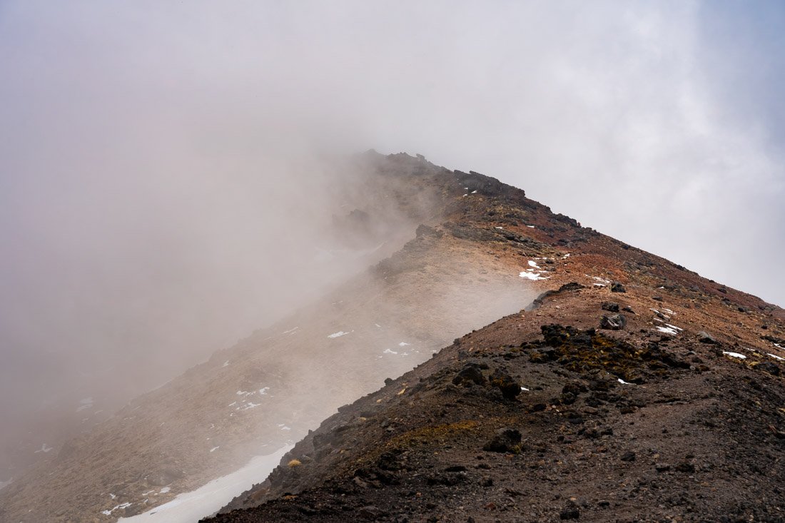
Mount Asahidake.
Utoro Onsen and Shiretoko National Park
Utoro Onsen is a small hot spring village that serves as a gateway to Shiretoko National Park and the peninsula of the same name, where pristine forests, mountains, and coastlines are home to one of the highest concentrations of brown bears in the world.
What to Do and See in Utoro Onsen and Shiretoko National Park
There is not much to do in Utoro Onsen itself. The only thing I recommend is going to watch the sunset from Oronko Rock (Google Maps). The top is reached at the end of a short trail. Other than that, enjoy a soak in the onsen.
Shiretoko National Park
Maybe I had high expectations and so it was easy to be disappointed, maybe it was because I did not see a single bear, maybe because there was still a lot of snow at higher elevations, or perhaps simply because visiting the park by public transport is quite limiting. In any case, my visit was not particularly memorable. Add to that the fact that it is literally in the middle of nowhere and takes several hours of travel to reach, and honestly it is not a destination I feel strongly about recommending. The visit was still pleasant, but considering the time and effort required to get there, I think there are other places in Japan that deserve higher priority.
First of all, on this page you can find the timetable for buses heading to the park. In any case, once you arrive in Utoro Onsen, it is fairly easy to find all the information you need. I recommend starting your visit by taking the bus to Shiretoko Goko (Google Maps). Here you will find a roughly 2 km route along an elevated boardwalk, which you can walk independently. With a bit of luck, you may even manage to spot a bear. The boardwalk has an electric fence along its entire length to prevent brown bears from accessing it.
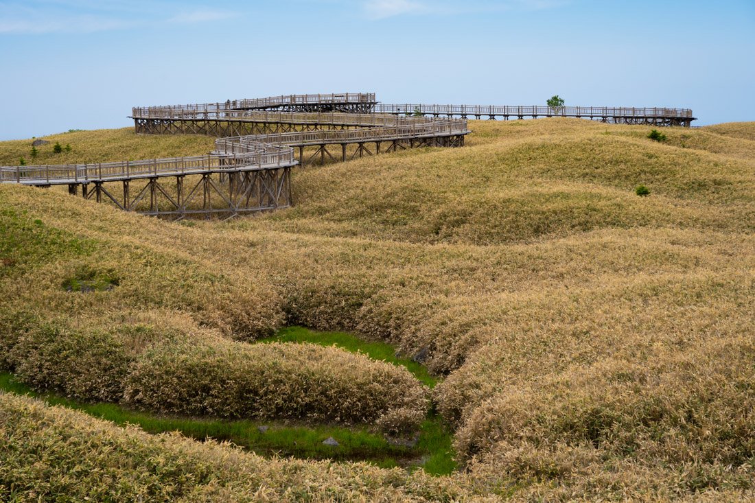
Elevated boardwalk
If you want, there are also longer trails that offer better chances of spotting wildlife, but during the period of peak bear activity, from May 10 to July 31, joining an organised tour is mandatory. The long route, which takes around 3 hours, costs 6,000 yen, while the short one, about an hour and a half, costs 3,600 yen. I skipped it. In any case, this is the official website, where you can find all the latest information.
Once you have finished your visit, take the first bus back towards the Shiretoko National Park Nature Center (Google Maps). Here there is a small but interesting exhibition dedicated to the national park, useful for learning a little more before continuing. A short trail to Furepe Waterfall (Google Maps) also starts from the centre: along the way, I saw quite a few deer. If you can coordinate the bus schedules well, you could also reach Lake Rausu (Google Maps). The bus stop is here (Google Maps), and from there it is about a 3 km walk to the lake. The trail is marked on Organic Maps, but apparently it can get very muddy, so plan accordingly. If you have another day available, several boat cruises also depart from Utoro Onsen and could be interesting.
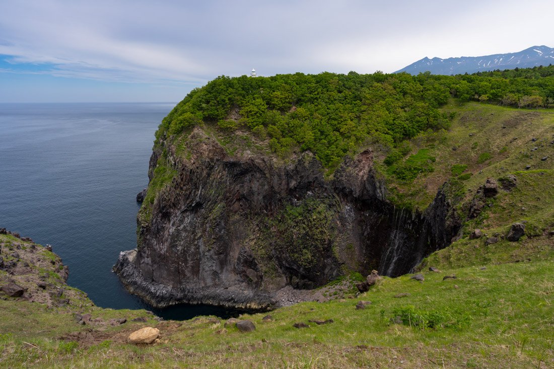
Furepe Waterfall.
I instead attempted the climb to Mount Rausu (Google Maps), but unfortunately I had to turn back a couple of kilometres from the summit because there was still far too much snow. From what I was told, similar conditions can last until mid-July, so check the situation carefully before setting out. The trail is the one described on AllTrails. The nearest bus stop is here (Google Maps), but from there you still have to walk for a few kilometres along the road. I walked it, but quite a few cars passed by, so I imagine that, with a little patience, you could also try hitchhiking. Near the start of the trail there are also some really nice natural hot springs (Google Maps), where I definitely recommend stopping on the way back.
Where to Stay in Utoro Onsen?
I stayed at Shiretoko Village, a very traditional property in true Japanese style with an onsen inside. I booked a private room to treat myself at the end of the trip, but they also have dormitories. It is not far from the bus station. Recommended.
How to Get to Utoro Onsen?
At least during my visit, it was possible to reach Utoro Onsen in a single day from Asahikawa, but to do so you absolutely need to take the first Limited Express of the morning to Abashiri Station (Google Maps). From here, you need to take the local train to Shiretokoshari Station (Google Maps). Across the road is the bus station (Google Maps), from where buses depart for Utoro Onsen. Timetables are available on this page.
If you are arriving directly from Sapporo, or need to return there after visiting the national park, there is also a daily direct bus that travels overnight from Sapporo to Utoro Onsen and during the day in the opposite direction. You can book it online on this website. Select “Shiretoko” as the destination, even though the bus actually arrives at Utoro Onsen bus station. In the “How to Get Around Japan” section, you will find plenty of other useful information.
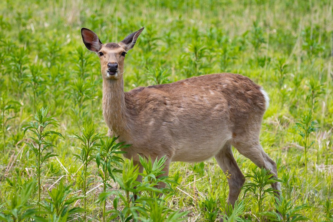
Shiretoko National Park.
OKINAWA
Nicola, you completely forgot about Okinawa! Actually, I consciously chose not to visit the archipelago during this trip. I would have had to go in late winter, when the weather is not yet particularly favourable for enjoying the sea, and some friends who had been there also discouraged me, mainly because of the rather high costs involved in reaching and visiting the most beautiful islands.
Okinawa is still a destination that interests me, especially for its sea and the culture of the Ryūkyū Islands, which is very different from that of mainland Japan. Simply put, considering the timing of my trip and the budget available, I preferred to prioritise other parts of the country. After all, if the main goal is to find tropical beaches and paradise islands, there are numerous alternatives in Asia that are just as beautiful and considerably cheaper.
These, of course, are considerations based on my indirect experience and the advice I received: since I have not visited Okinawa, I do not feel comfortable giving a personal opinion on the archipelago. If you decide to include it in your itinerary, here you can find an interesting guide that can help you plan your trip.
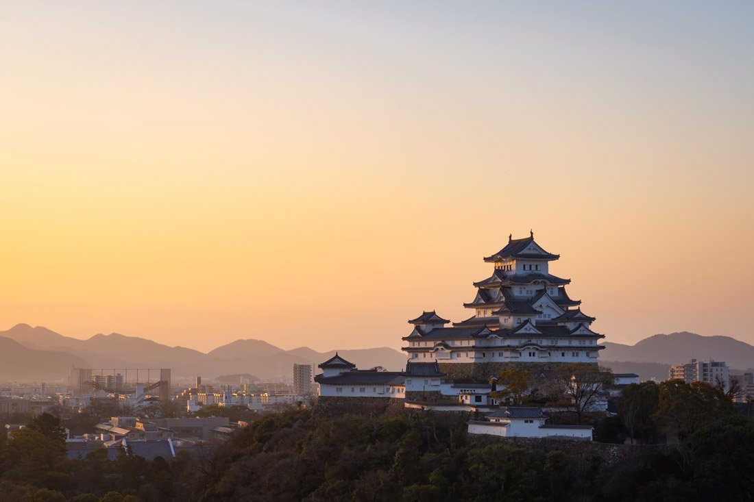
Himeji Castle.
Possible Itineraries in Japan
Below I list a few possible itineraries of 2, 3, and 4 weeks. Obviously, there is no perfect itinerary for a given amount of time, so take what follows simply as inspiration and adapt it according to your interests and budget, keeping in mind what you have read so far. If your goal is to cross the entire country from north to south, as I did, without constantly jumping from one destination to another every two days, I recommend at least two months, ideally even longer.
Two-Week Itinerary in Japan
For the average traveller with two weeks in Japan, I think it is worth focusing exclusively on central Japan. This is obviously also the most touristy part of the country, but it ensures that you see all the highlights such as Tokyo, Kyoto, Mount Fuji, Nara, etc.
Tokyo (4 nights)
Day 1:
Visit North Tokyo.
Day 2:
Visit Central Tokyo.
Day 3:
Visit West Tokyo.
Day 4:
Visit South Tokyo.
Fuji Five Lakes Region (1 night)
Day 5:
Bus from Tokyo in the morning. Mount Ashiwada and Sankodai Viewpoint are what I would personally do, but there are plenty of options.
Kyoto (3 nights)
Day 6:
Sunrise at Chureito Pagoda plus Fujiyoshida Street. Train to Kyoto in the late morning. Philosopher’s Path and Higashiyama district in the afternoon.
Day 7:
Arashiyama Bamboo Forest early in the morning. Various temples.
Day 8:
Fushimi Inari-Taisha Shrine early in the morning. Various temples.
Nara (2 nights)
Day 9:
Train from Kyoto to Nara. Explore central Nara.
Day 10:
Explore the surroundings of Nara: the Yamanobe-no-michi Trail, Yoshino, and some lesser-known temples are all excellent options.
Himeji (1 night)
Day 11:
Train from Nara to Himeji. Visit the castle and then Shoshazan Engyoji Temple.
Hiroshima (2 nights)
Day 12:
Train from Himeji. Hiroshima Peace Park, Hiroshima Castle, and Shukkeien Garden.
Day 13:
Itsukushima Island. If you leave early in the morning, you can definitely include a short visit to Iwakuni as well.
Day 14:
Return to Tokyo.
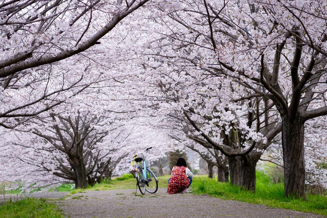
Three-Week Itinerary in Japan
With an extra week available, in my opinion you essentially have two options. The first is to use the two-week itinerary described above as a base and add a few less-visited destinations along the way. For example, after the Fuji Five Lakes region, you could cross the Kiso Valley, continue towards Nagoya, and from there reach Kyoto, where you could then follow the two-week itinerary described above. Alternatively, you could head towards Takayama and Kanazawa. Even before leaving Tokyo, you could stay an extra night in the capital and devote a day to Nikkō, Kamakura, or Hakone. Another possibility is to include the Kumano Kodo or spend a night in Onomichi, breaking up the journey between Himeji and Hiroshima.
Essentially, I would use the two-week itinerary as a framework and add a few stops according to your interests, without necessarily trying to fill every single day. The second option is to dedicate the entire week to another island. Hokkaidō or Shikoku, for example, are both large enough to justify a full week and can offer a very different experience from the Japan you encounter along the classic Tokyo–Kyoto–Hiroshima route.
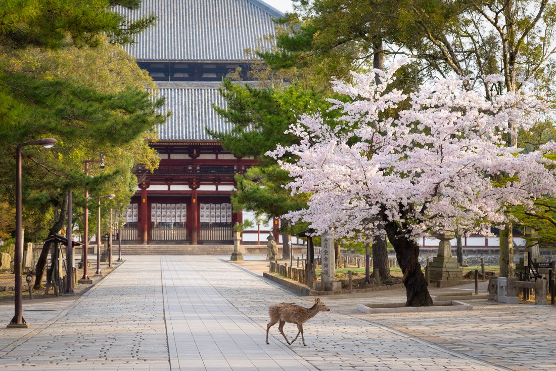
Nara.
Four-Week Itinerary in Japan
With a month or more available, you can start thinking about covering a large part of the country, provided you are willing to move frequently and use a few Shinkansen trains or, if necessary, domestic flights. As a basic itinerary, you can simply follow the guide in the order in which it was written. The order of the destinations is in fact designed to cross the country from south to north while trying to optimise travel as much as possible. Obviously, with only one month available, you cannot expect to visit every single destination mentioned in the guide, but you can certainly come close. For simplicity, you could limit yourself to exploring the island of Honshū and add Shikoku and Hokkaidō only if you have at least five or six weeks available.
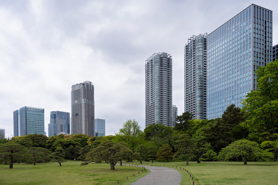
Hamarikyu Gardens, Tokyo.
How to Get Around Japan
Japan has one of the best public transport systems I have ever used. In particular, the rail network is excellent: extensive, efficient, and capable of connecting practically all the main cities and tourist destinations. In addition, much of the public transport system is perfectly integrated with Google Maps, making it very easy to plan journeys. That said, although on some lines it is possible to pay directly with a normal contactless card or via Apple Pay and Google Pay, for most travellers I still recommend using an IC Card. This is a prepaid card that allows you to quickly pay fares on most compatible trains, subways, trams, and buses, as well as make small purchases in numerous shops, restaurants, and practically all major convenience stores.
There are several IC Cards, including Suica, PASMO, and ICOCA. They are issued by different transport companies, but from a traveller’s point of view they are largely interchangeable and can be used on networks that participate in the national interoperability system. If you have an iPhone, I personally recommend the digital Suica, which you can add directly to the Wallet app and top up via Apple Pay without having to purchase a physical card. The process takes less than a minute: open Wallet, press “+”, select “Transit Card”, and choose Suica. I also recommend enabling Express Mode, which allows you to use the card without having to unlock your phone or open Wallet: simply hold the iPhone near the reader.
On Android, however, the situation is more complicated: the mobile version of Japanese IC Cards depends on the device’s hardware support and, in practice, for phones purchased abroad it is generally not a reliable option. If you use Android, the simplest solution is therefore to buy a physical IC Card. There are also specific versions for foreign visitors, such as Welcome Suica and TOURIST PASMO, designed for short stays. Both are valid for 28 days and do not require a refundable deposit; any remaining balance, however, is not refunded when they expire. Welcome Suica is available without a deposit, while TOURIST PASMO was introduced in 2026 and is also deposit-free.
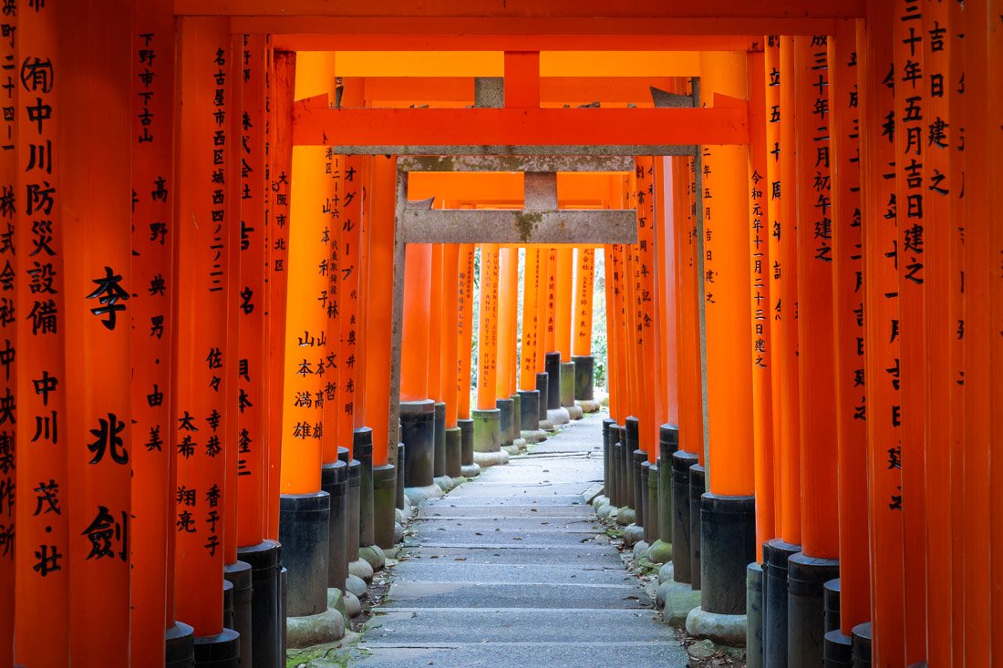
Fushimi Inari-Taisha Shrine.
Welcome Suica can be purchased in several places, especially at airports and major stations in Tokyo. TOURIST PASMO is instead available at Narita and Haneda airports. To top up a physical IC Card, you normally need to use cash: at major stations you will find dedicated top-up machines, while you can also top it up at numerous convenience stores. With physical cards, look for machines displaying the symbol of your IC Card. That said, especially in rural areas of Japan, there are some bus and train lines where no electronic payment method is accepted. In these cases, when you board, you will find a machine from which you need to take a small numbered ticket. This number indicates the stop or station where you boarded and is used to calculate the fare to be paid when you get off. There is usually also a screen showing the fare corresponding to each number in real time.
When it is time to get off, you normally just insert the ticket into the appropriate machine and pay the fare in cash. Make sure you have 1,000-yen notes and some coins with you: although the machine can give change, it is generally not possible to change larger-denomination notes, such as 5,000-yen notes. A couple of times, I even entered a station using my IC Card and then got off at a tiny remote station with no terminal where I could register my exit. In these cases, nothing serious happens: if there is staff, simply explain what happened and they will have you pay the fare in cash. Once, however, there was literally nobody there and, although unintentionally, I ended up not paying at all. Be careful, though, because this blocks the IC Card: the system records the entry but not the exit, leaving the journey open. To use it again, you need to speak to station staff, who will have to manually correct the transaction. It happened to me a couple of times and is definitely something to keep in mind because, without this procedure, your IC Card essentially becomes unusable.
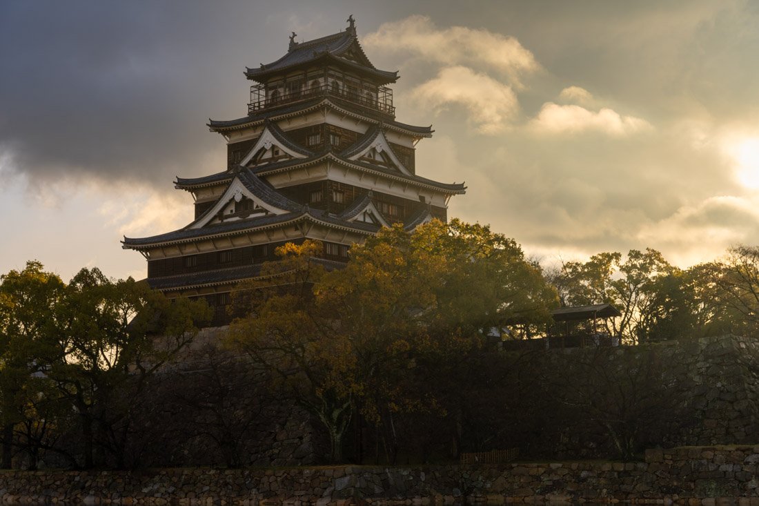
Hiroshima Castle.
Trains in Japan
Broadly speaking, there are three types of trains in Japan. First, there are “normal” trains, equivalent to regional trains, which stop at practically every station along the line. In most cases, for these trains you can simply use your IC Card: tap it on the reader when you enter the station and again when you leave, just as you would on the subway. Then there are Limited Express trains, which you can think of as faster regional trains: they make fewer stops and require a surcharge on top of the base fare. This is where the system can become a little less intuitive. Essentially, to take a Limited Express you need two components: the base fare and the Limited Express surcharge, which includes the seat. If you have an IC Card, the base fare is simply deducted from the card; however, you still need to purchase the Limited Express ticket separately. If you do not use an IC Card, you need to purchase both.
I only took a Limited Express a couple of times and always bought the ticket directly at the ticket office, so I cannot speak from direct experience when it comes to the machines. Apparently, on lines that use this system, there are dedicated Limited Express ticket machines, generally near the station or on the same platform from which the train departs. When purchasing the seat ticket, make sure you select Reserved Seat and then choose the seat you prefer. The machine will print a ticket showing the carriage number and seat number. There is also a Non-Reserved Seat option, which can be used when all reserved seats are sold out but you still want to board the train. In this case, you can only occupy seats indicated as available. If the seat you have chosen is booked by another passenger during the journey, you will have to leave it and move.
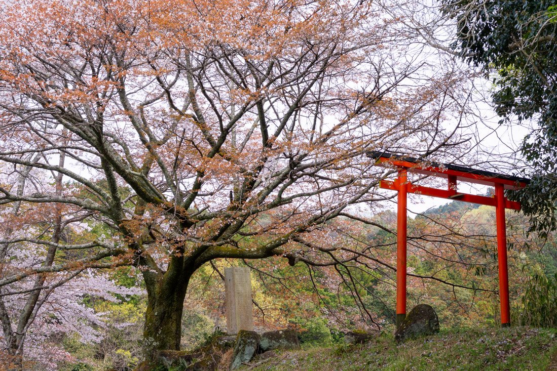
Yamanobe-no-michi Trail.
Finally, there are the famous Shinkansen, the so-called “bullet trains”, essentially the Japanese equivalent of high-speed rail. It may sound absurd, but during my trip to Japan I never took one. The reason is quite simple: on the main routes where high-speed rail would make sense, there are also so-called highway buses, which I will discuss later, and in many cases they literally cost half as much, if not even a third. Obviously, they are also much slower, but for someone like me, who is not particularly limited by time and prefers to save money, the choice was practically always obvious.
Of course, I do not expect this to be the case for everyone: I imagine that for some people taking at least one Shinkansen is an integral part of the Japan travel experience. In that case, here are a couple of useful things to know. First of all, you can book tickets directly online through the official website. You also do not need to worry too much about luggage: on the Shinkansen you can easily bring fairly large suitcases. If the sum of the height, width, and depth of the luggage does not exceed 160 cm, no special reservation is required. For luggage with total dimensions between 160 and 250 cm, however, you need to reserve a seat with dedicated oversized-luggage space.
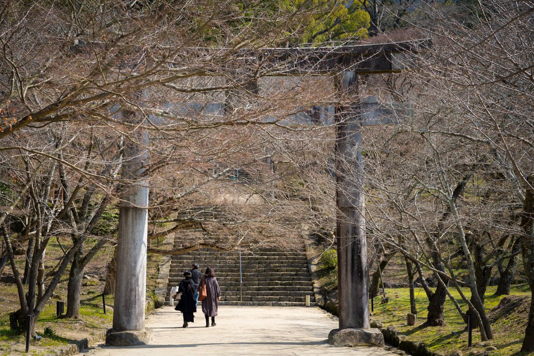
Dazaifu.
If you are travelling with a lot of luggage and would rather avoid dragging it from one city to another, you can also use one of the many luggage-forwarding services available in Japan such as this one. They send your luggage directly from one accommodation to another, allowing you to travel much more comfortably, and can be particularly useful when travelling by train. I also want to point out that, in some cases, Shinkansen lines run essentially parallel to conventional railway lines. The latter are obviously much slower, but also considerably cheaper. The problem is that Google Maps tends to show the fastest options first, which almost always include the Shinkansen. To get around this, when searching for a connection, sort the results by lowest cost: this way you can easily identify any cheaper alternatives.
Finally, you may have heard of the JR Pass, a pass that allows unlimited travel for a set period on most lines operated by Japan Railways. However, it is not valid on private railway lines, and there are some exceptions even within the JR network, so it is important to always check exactly what is included. You may therefore be wondering whether it is worth buying. In the past, for many travellers, the answer was fairly obvious, but in recent years the price has increased significantly and today it is no longer necessarily good value. Unless you are planning a real travel marathon with numerous long train journeys, paying for individual trips is often cheaper. Fortunately, figuring out which of the two options is better is fairly simple, especially if you already have a well-defined itinerary: use the official JR Pass calculator, enter all the routes you plan to take, and compare the total cost of the individual journeys with the cost of the pass. This way, you can determine with reasonable confidence which option is better in your case.
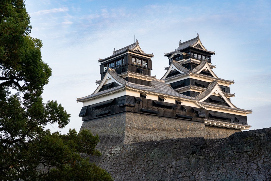
Matsumoto Castle.
Buses in Japan
In general, there are two types of buses. The first are urban public transport buses, which, in my experience, are perfectly integrated with Google Maps and, in major cities, can normally be paid for with an IC Card. That said, especially in rural areas of Japan, you may also come across the so-called “numbered ticket system” I mentioned earlier.
On city buses, as well as trams, the system is extremely methodical: you normally board through the rear door and exit through the front. So-called Highway Buses, on the other hand, are a completely different thing. They usually depart from proper bus stations, cover long distances, and make relatively few stops. On longer journeys, there is often also a break at a service area, while on board you will generally find Wi-Fi and comfortable seats. In short, the journey is comfortable, in perfect Japanese style.
As mentioned above, Highway Buses are almost always the cheapest way to cover medium and long distances in Japan. Depending on the route, the price can be half, or even less, than the train, especially when compared with the Shinkansen. For those travelling on a tight budget, there is another important advantage: some Highway Buses travel overnight, allowing you to save the cost of a night’s accommodation as well.
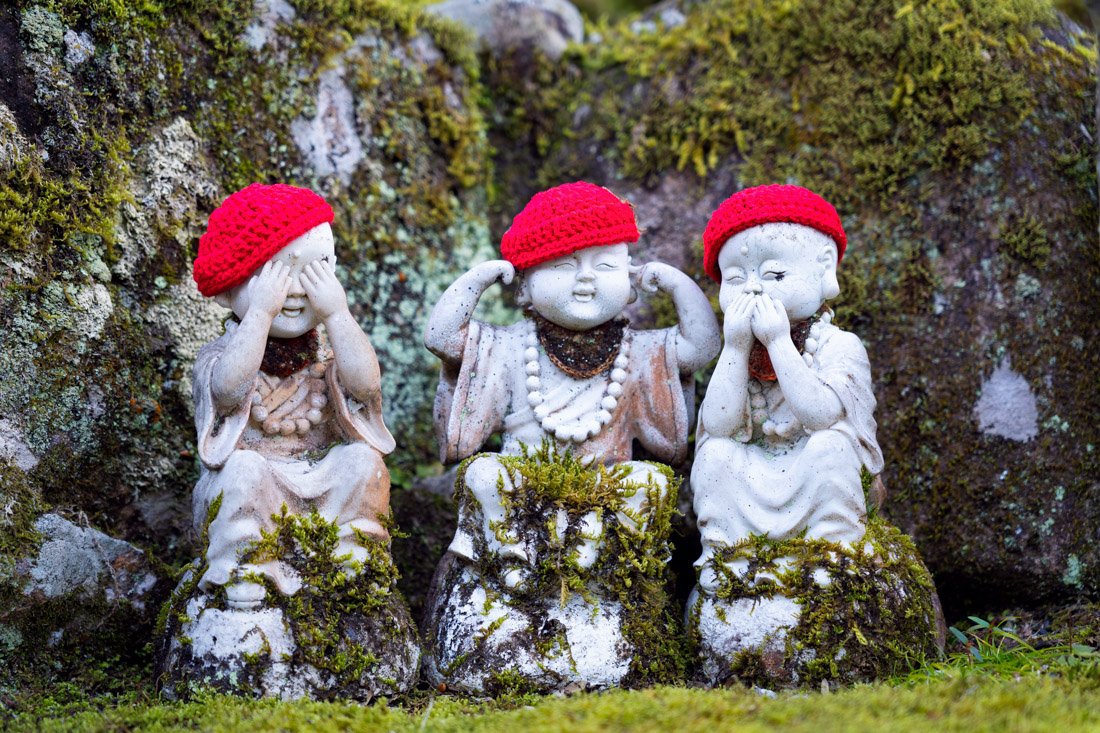
Itsukushima.
Unfortunately, these buses are not always integrated into Google Maps. There are therefore several platforms for searching for and booking tickets, including some of the main national operators such as Willer Express, Japan Bus Online and Highwaybus, as well as numerous regional operators. I have tried to include all the most useful links in the guide, but the main message I want to get across is simple: do not blindly rely on Google Maps when organising bus travel in Japan. Especially outside the major cities, it is very easy for connections or alternatives to exist that Google Maps simply does not show.
Renting a Car in Japan
I travelled exclusively by public transport, but there is nothing stopping you from doing a road trip in Japan. Renting a car is in fact an option considered by some travellers, thanks to the relatively short distances, generally excellent roads, and often smooth traffic. Personally, however, I think a car makes the most sense on a regional level rather than for crossing the entire country. It can be particularly convenient for reaching attractions, temples, and hikes that are less accessible by public transport. If your itinerary is focused on major cities and the best-connected destinations, I would continue to favour public transport. If, on the other hand, you want to explore more remote corners of the country, renting a car can make a real difference. If you are interested, you can check websites such as Discover Cars to compare the different options. N.B. Japan requires an International Driving Permit. If you are already abroad or simply want to obtain an International Driving Permit online, you can do so on this website.
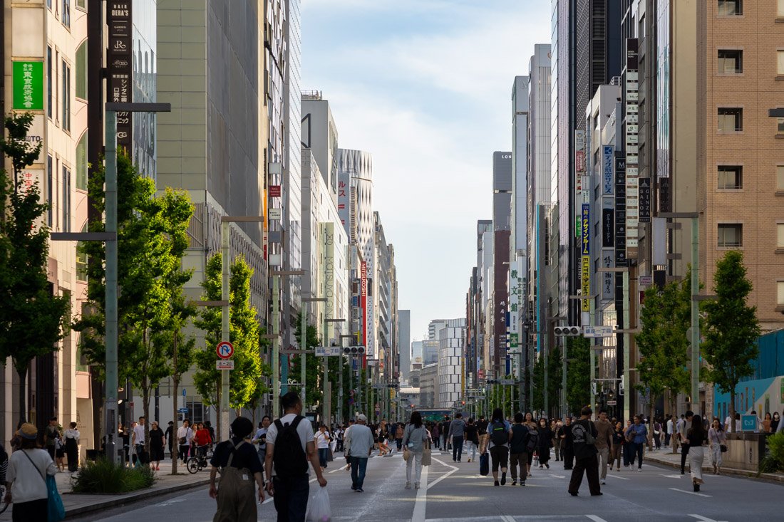
Tokyo.
Travelling in Japan: Costs
Over the course of exactly 89 days of travel, I spent €5,090.03 all-inclusive, with the exception of travel insurance and my return flights to Japan. I did, however, include the domestic flight from Hokkaidō to Tokyo. Essentially, with just under €60 per day, I covered all transport within the country, food, accommodation, and various activities. My travel style was fairly budget-oriented: I stayed almost exclusively in hostels, never took the Shinkansen, I do not drink or smoke, and I think I rarely spent more than €10 on a single meal. At the same time, however, I did not miss out on anything: I visited everything I wanted to see, did not volunteer, hitchhike, or use other tricks to reduce expenses as much as possible, and I moved around a lot, literally crossing the country from north to south. In short, while €60 per day may seem low, it is also true that Japan can be visited for even less. My budget therefore does not necessarily represent the bare minimum, but rather what I spent travelling very cheaply without giving up the experiences and places I genuinely wanted to see.
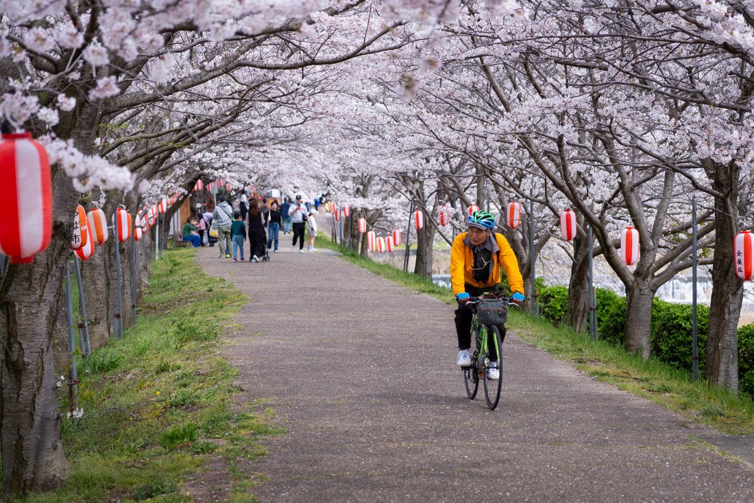
Cost of Accommodation in Japan
The main tourist destinations offer a wide choice of hostels, which are also very popular among Japanese travellers and often make up the majority of guests, especially outside the destinations most frequently visited by foreigners. Unlike in other destinations, such as Southeast Asia, weekend rates tend to be higher precisely because domestic tourism represents an important part of demand. Strong competition between properties nevertheless ensures excellent value for money, with generally high standards. That said, a dorm bed in a good hostel normally costs €20–30 per night, depending on the destination, and during the high season, such as cherry blossom season, prices can easily double. Cherry blossoms may be beautiful to see, but if budget is a priority, I would think carefully before organising a trip to Japan specifically during that period: between flights, accommodation, and transport, high season can significantly increase the overall cost of the trip. Also watch out for Golden Week, a set of four national holidays concentrated between late April and early May. It is one of the busiest tourist periods of the year because of domestic travel by Japanese people, somewhat like the Ferragosto period in Italy. As a result, in this case too, it is best to book well in advance and expect higher prices.
Cost of Transport in Japan
As mentioned earlier, public transport in Japan is among the best I have ever used, but unfortunately it is not exactly cheap, especially when it comes to medium- and long-distance travel outside cities. For those travelling around the country and wanting to explore several different regions, transport is therefore very likely to be the largest item in the budget, even when travelling cheaply.
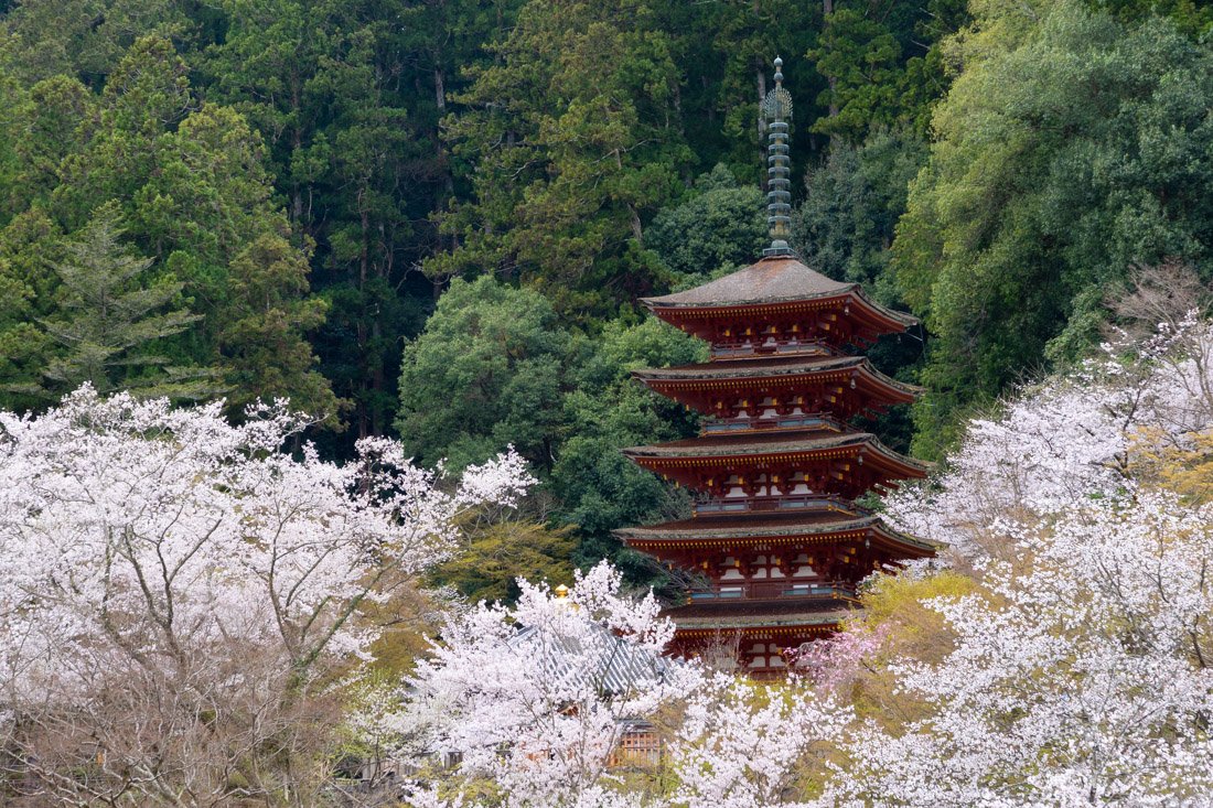
Hase-dera Temple.
Cost of Food in Japan
Japanese food is not only delicious but also relatively inexpensive. Obviously, the cost depends on the type of restaurant you choose, but if you are not too demanding, it is not difficult to spend less than €10 on a meal. For those who are particularly budget-conscious, convenience stores such as 7-Eleven, FamilyMart, and Lawson offer a good selection of ready-made meals which, overall, are not bad at all. You can also find good fresh sushi at very reasonable prices in supermarkets. I also recommend Japanese “fast food” chains, which offer excellent value for money. Some of my favourites are Sukiya, Matsuya, Nakau, and Yoshinoya, but there are many others. In these places, you can easily sit down and have a substantial, good-quality meal for well under €10.
Other Costs (ATM Withdrawals and SIM Cards)
Let’s start with ATM withdrawal costs, which can be reduced to zero by using the best cards for travel. The ATMs found in practically every 7-Eleven allow fee-free withdrawals when using a Mastercard. Even with a Visa, the costs are still fairly low: 110 yen for withdrawals below 10,000 yen and 220 yen for larger amounts. I withdrew cash here almost every time. That said, Japan Post Bank (JP Bank) and AEON Bank ATMs should also allow fee-free withdrawals with many international cards.
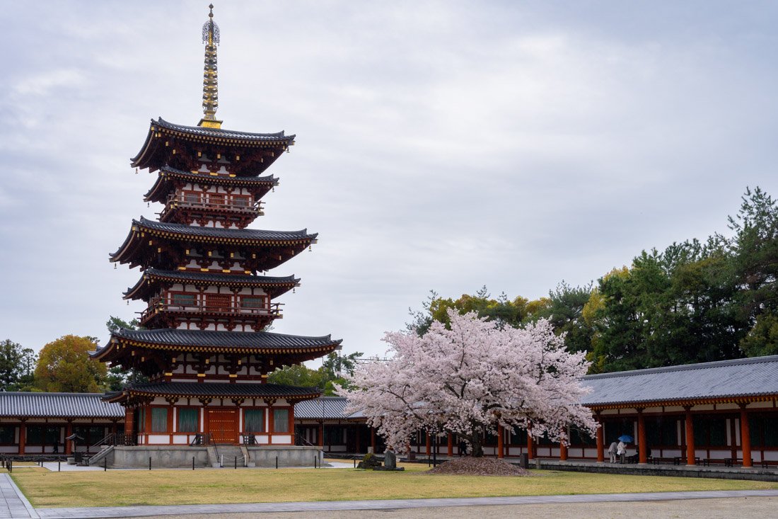
Yakushiji Temple.
As for SIM cards, the main mobile networks in Japan are au, NTT docomo, Rakuten Mobile, and SoftBank. If you only visit major cities, one is more or less as good as another, but once you start venturing into remote areas, NTT docomo tends to have the most extensive coverage, which is why I prefer it for a trip that also includes rural and mountainous areas. The problem is that, at least during my visit, normal phone plans from Japanese operators were essentially reserved for residents or, in any case, people with a long-term visa. I also tried to activate an eSIM online with Ahamo, a virtual operator that uses the NTT docomo network, but without success. Even when I went directly to a few shops, I was consistently directed towards the various prepaid SIM cards designed for tourists.
In the end, I opted for a Ubigi eSIM, which uses the NTT docomo network in Japan. At least during my trip, its plans seemed more affordable than the typical prepaid tourist SIM cards, as well as being much more convenient: you can simply purchase and install the eSIM online before departure without wasting time once you arrive. That said, the market is constantly evolving and, by the time you read this guide, access to normal phone plans may have become easier for tourists as well.
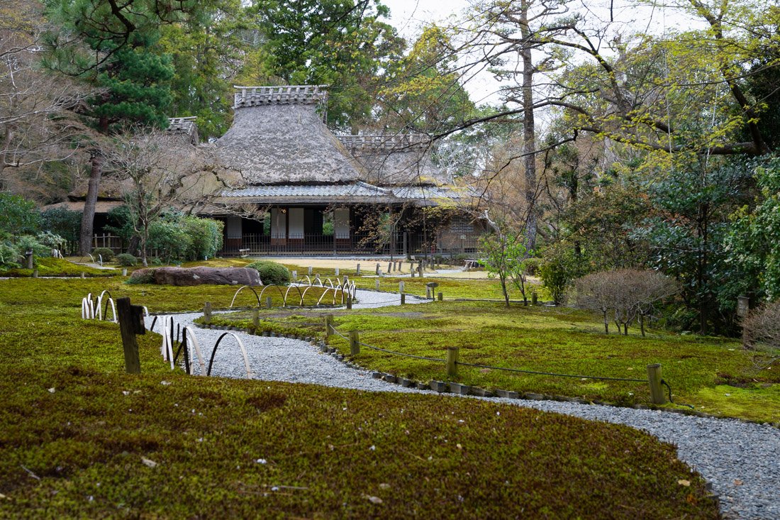
Yoshikien Gardens.
Travelling in Japan: Safety
Japan, along with Singapore, Taiwan, and Hong Kong, is one of the countries where I have felt safest during all my travels. To be clear, crime exists here too, but it is relatively rare and, overall, Japan is undoubtedly a very safe destination, including for those travelling with children. As anywhere else in the world, it is still always a good idea to use common sense, but, speaking from personal experience, safety is really one of the last things I would worry about during a trip to Japan.
Planning a trip to Japan? Check out these posts:
Do you have any questions? Updated information? Do not hesitate to leave a comment or write to me on Instagram!
Since I no longer run ads, if you found this article helpful, please consider purchasing your travel insurance through one of the links on this site. Doing so supports my work at no additional cost to you. For EU and UK residents, I recommend True Traveller. For everyone else, I recommend HeyMondo, which offers a 5% discount. Thank you for your support!
For donations/virtual pizzas and beers 🙂
Did you like the post? Pin it!